
Ito World bike-share data comes to Google Maps

Riders will be able to use Maps to open bike-share apps to book and unlock a bike
By Adam Hill July 21, 2020 Read time: 2 mins
Washington, DC is one of the new cities on Google's list (© ITS International)

Bike-share information from transit data specialist Ito World has been added to Google Maps.

Bike directions have been available in Google Maps for the past decade, but docked bike-share information is now included in 10 cities worldwide, from the US to Taiwan.

Ito World takes operational data from bike-share companies and transforms it into navigable information. 

Google already has dockless bike and scooter integration with Lime in more than 100 cities.

The new information goes further, explains Vishal Dutta, Google Maps product manager: "Steps will include detailed walking directions to bike-share stations near your starting point along with live bike availability, turn-by-turn cycling directions to the bike-share station closest to your destination with live dock availability, and, finally, walking directions from there to your final destination."

Google says that Maps will also show links to open the relevant bike-share app to book and unlock a bike.

The full list of cities is:

Chicago, US (Divvy/Lyft)
New York City, US (Citi Bike/Lyft)
San Francisco Bay Area, US (Bay Wheels/Lyft)
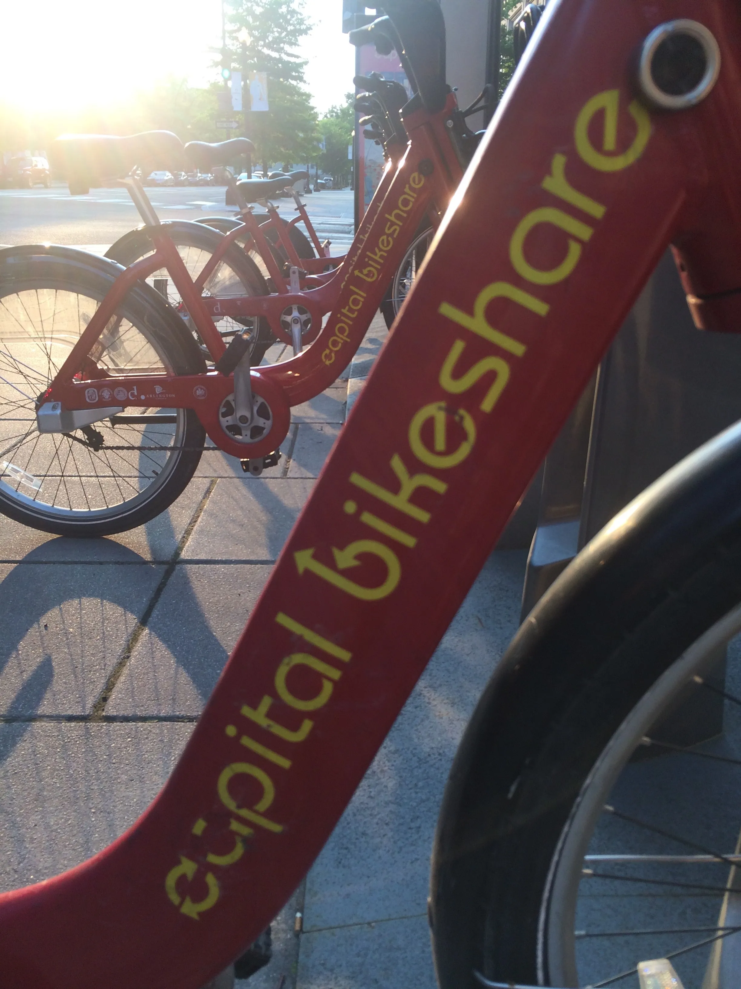
Washington, DC, US (Capital Bikeshare/Lyft)
London, UK (Santander Cycles/TfL)
Mexico City, Mexico (Ecobici)
Montreal, Canada (BIXI/Lyft)
Rio De Janeiro, Brazil (Bike Itaú)
São Paulo, Brazil (Bike Itaú)
Taipei and New Taipei City, Taiwan (YouBike)
 

For more information on companies in this article

Related Content

  • Navigating the data privacy landscape
    July 24, 2023
    If customer data is not protected then the journey towards better, less polluting public transport solutions is likely to be delayed, warns Alexis Suggett of Cubic Transportation Systems
  • North Carolina moves ahead with Moovit
    May 21, 2025
    US city of Burlington's transport users can also access Uber in app
  • Parker smartphone app enables real time parking search
    December 6, 2012
    Thanks to a partnership between parking technology provider Streetline and Cisco, drivers in the San Francisco bay area of the US are now able to locate the nearest vacant parking space using just their smartphone and a mobile app called Parker. First deployed in Sausalito, the system has now been installed in San Mateo and San Carlos. It uses a small wireless sensor about the size of a golf hole installed in the parking bay to detect whether the space is occupied by a vehicle. Each sensor wirelessly comm
  • Here enables Booking.com to take off
    July 22, 2020
    Airport taxi rides can be booked and paid for in more than 800 cities