Ito World bike-share data comes to Google Maps

Riders will be able to use Maps to open bike-share apps to book and unlock a bike
By Adam Hill July 21, 2020 Read time: 2 mins
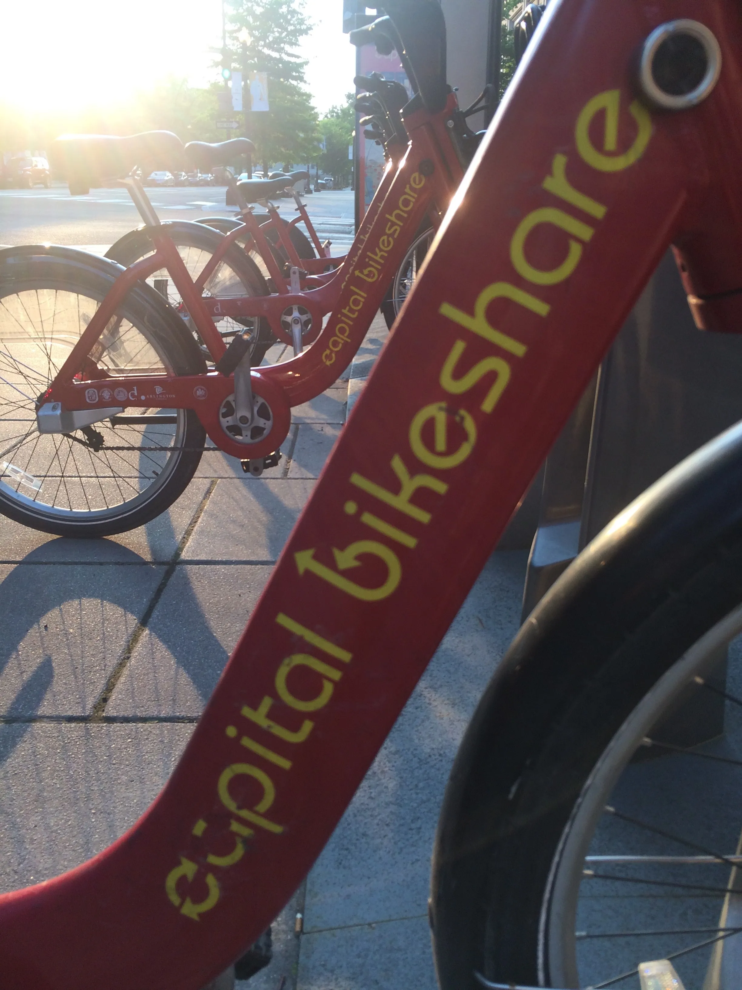
Washington, DC is one of the new cities on Google's list (© ITS International)

Bike-share information from transit data specialist Ito World has been added to Google Maps.

Bike directions have been available in Google Maps for the past decade, but docked bike-share information is now included in 10 cities worldwide, from the US to Taiwan.

Ito World takes operational data from bike-share companies and transforms it into navigable information. 

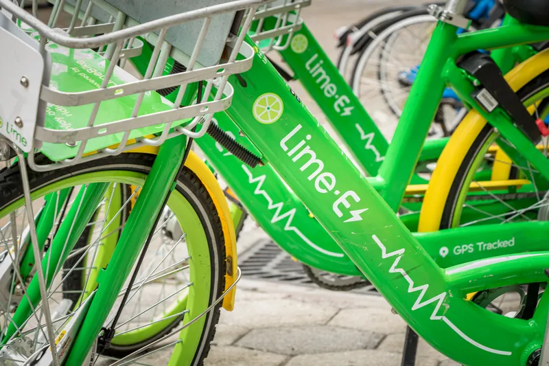
Google already has dockless bike and scooter integration with Lime in more than 100 cities.

The new information goes further, explains Vishal Dutta, Google Maps product manager: "Steps will include detailed walking directions to bike-share stations near your starting point along with live bike availability, turn-by-turn cycling directions to the bike-share station closest to your destination with live dock availability, and, finally, walking directions from there to your final destination."

Google says that Maps will also show links to open the relevant bike-share app to book and unlock a bike.

The full list of cities is:

Chicago, US (Divvy/Lyft)
New York City, US (Citi Bike/Lyft)
San Francisco Bay Area, US (Bay Wheels/Lyft)
Washington, DC, US (Capital Bikeshare/Lyft)
London, UK (Santander Cycles/TfL)
Mexico City, Mexico (Ecobici)
Montreal, Canada (BIXI/Lyft)
Rio De Janeiro, Brazil (Bike Itaú)
São Paulo, Brazil (Bike Itaú)
Taipei and New Taipei City, Taiwan (YouBike)
 

Related Content

  • April 28, 2021
    A short guide to the shared mobility galaxy
    This spring, a new book will be published with the mind-blowing title Shared Mobility Rocks: a Planner’s Guide to the Shared Mobility Galaxy. ITS International asks co-authors Friso Metz and Rebecca Karbaumer to share their golden rules
  • August 8, 2018
    Mobilising data for the future of urban transport
    It's not just gathering the data that's important, says Johan Herrlin - it's making sure that transport organisations share it with one another that will determine travellers' satisfaction. Data is transforming the way we move around cities, from family car journeys to the daily train commute. Gone are the days when travelling from A to B meant remembering your AA map and having to ask for directions at regular intervals. If you were trying to navigate London as a tourist a mere decade ago, it required
  • December 2, 2021
    Lime links with SafeUp in US
    Community network can use free micromobility options to get to women who feel unsafe
  • June 1, 2016
    Xerox’s mobility app offers Mobility as a Service
    Andrew Bardin Williams looks at a new mobility app in Los Angeles and Denver that brings Mobility as a Service one step closer. Commuting today doesn’t have to require a single modal route. You can take Uber to the nearest light-rail station or a bus to the commuter line. Then on the other end of your trip, you can book a bikeshare the rest of the way to your office. For many who live in major metropolitan areas around the US this is a distinct reality as new ways to move from Point A to Point B continue to