Ito World bike-share data comes to Google Maps

Riders will be able to use Maps to open bike-share apps to book and unlock a bike
By Adam Hill July 21, 2020 Read time: 2 mins
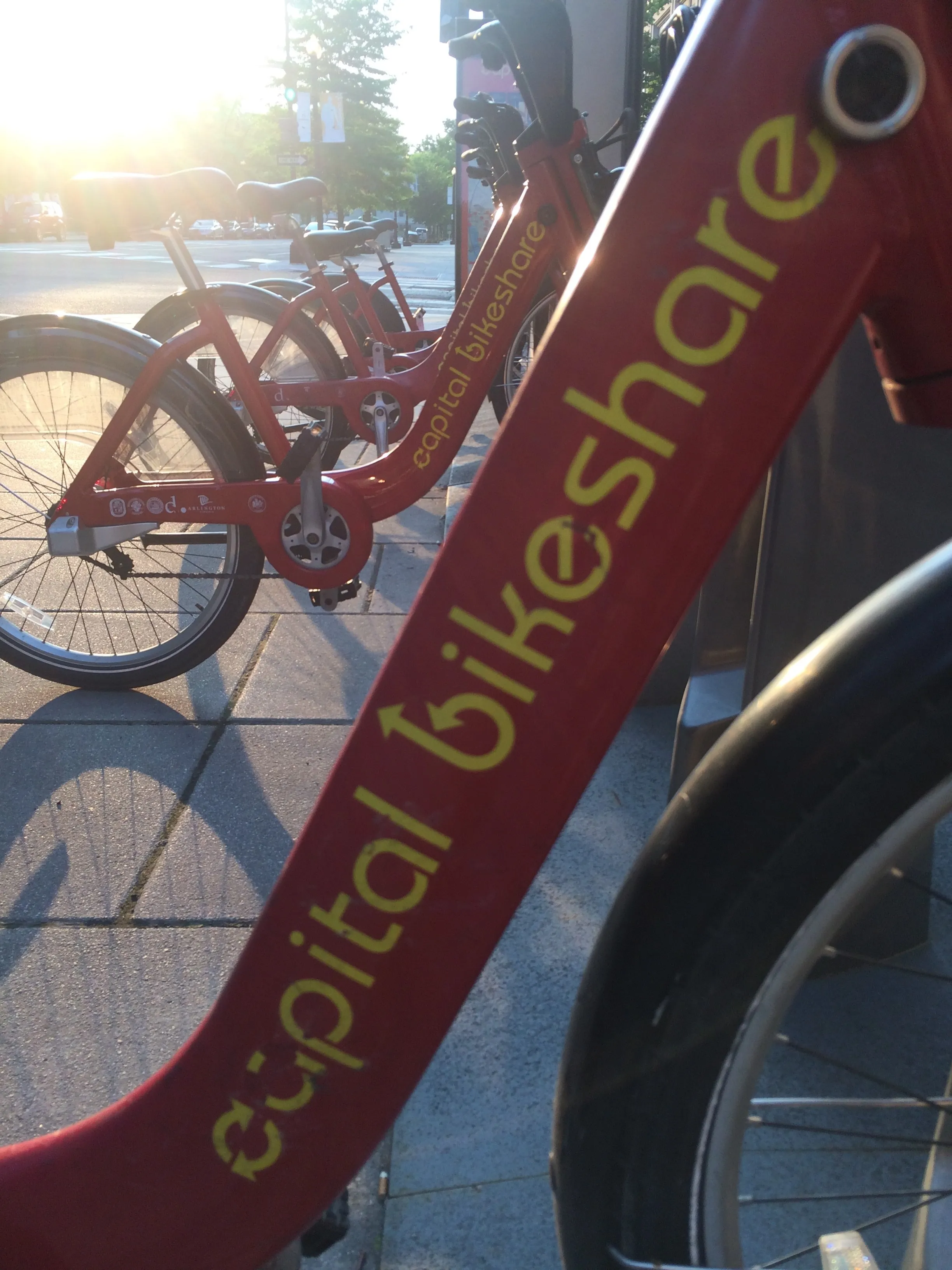
Washington, DC is one of the new cities on Google's list (© ITS International)

Bike-share information from transit data specialist Ito World has been added to Google Maps.

Bike directions have been available in Google Maps for the past decade, but docked bike-share information is now included in 10 cities worldwide, from the US to Taiwan.

Ito World takes operational data from bike-share companies and transforms it into navigable information. 

Google already has dockless bike and scooter integration with Lime in more than 100 cities.

The new information goes further, explains Vishal Dutta, Google Maps product manager: "Steps will include detailed walking directions to bike-share stations near your starting point along with live bike availability, turn-by-turn cycling directions to the bike-share station closest to your destination with live dock availability, and, finally, walking directions from there to your final destination."

Google says that Maps will also show links to open the relevant bike-share app to book and unlock a bike.

The full list of cities is:

Chicago, US (Divvy/Lyft)
New York City, US (Citi Bike/Lyft)
San Francisco Bay Area, US (Bay Wheels/Lyft)
Washington, DC, US (Capital Bikeshare/Lyft)
London, UK (Santander Cycles/TfL)
Mexico City, Mexico (Ecobici)
Montreal, Canada (BIXI/Lyft)
Rio De Janeiro, Brazil (Bike Itaú)
São Paulo, Brazil (Bike Itaú)
Taipei and New Taipei City, Taiwan (YouBike)
 

For more information on companies in this article

Related Content

  • ITS needs data highways
    November 18, 2014
    Transport and traffic data is on the increase but there must be an integrated data highway to derive the maximum ITS benefits, argues Deutsche Telekom. From public transport operators recording increasingly precise and comprehensive data on their vehicle’s position and driving behaviour to local authorities using RFID and video systems to control traffic on their streets and highways, the amount of traffic data is growing rapidly.
  • Vancouver's metro transport promotes alternatives to driving
    January 26, 2012
    David Crawford looks at Vancouver and the legacy of a Olympic transport success
  • Google Maps to include first and last mile options
    September 3, 2019
    Google is to pair transit directions with bike- and ride-share options within Google Maps in a bid to improve first and last mile journeys. Google says users will be able to enter their destination in the search box, tap ‘Directions’ to see routes that feature ride-share and cycling options paired with transit directions. For ride-sharing, individuals can view information on how much the ride will cost, waiting time, traffic lights and an option to choose their favourite provider. Cyclists will be able
  • Navigation mapping focuses on more detail, greater accuracy
    March 16, 2012
    Navteq’s business strategy is focusing on more more detail, greater accuracy and added value. Location data provider Navteq has done much to enhance its service offer in recent months, across consumer, commercial and government markets worldwide, and the company reports more to come. Interior destination maps, the most recent addition to Navteq’s pedestrian navigation portfolio, are now being considered for complex transport interchanges to give guidance to transferring passengers, particularly those with m