Ito World bike-share data comes to Google Maps

Riders will be able to use Maps to open bike-share apps to book and unlock a bike
By Adam Hill July 21, 2020 Read time: 2 mins
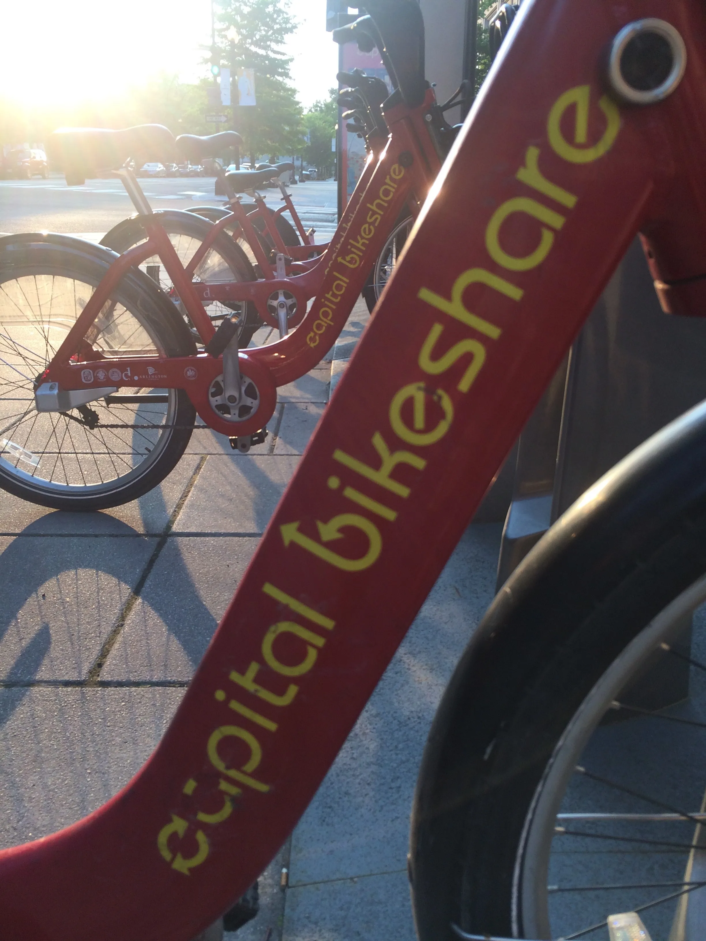
Washington, DC is one of the new cities on Google's list (© ITS International)

Bike-share information from transit data specialist Ito World has been added to Google Maps.

Bike directions have been available in Google Maps for the past decade, but docked bike-share information is now included in 10 cities worldwide, from the US to Taiwan.

Ito World takes operational data from bike-share companies and transforms it into navigable information. 

Google already has dockless bike and scooter integration with Lime in more than 100 cities.

The new information goes further, explains Vishal Dutta, Google Maps product manager: "Steps will include detailed walking directions to bike-share stations near your starting point along with live bike availability, turn-by-turn cycling directions to the bike-share station closest to your destination with live dock availability, and, finally, walking directions from there to your final destination."

Google says that Maps will also show links to open the relevant bike-share app to book and unlock a bike.

The full list of cities is:

Chicago, US (Divvy/Lyft)
New York City, US (Citi Bike/Lyft)
San Francisco Bay Area, US (Bay Wheels/Lyft)
Washington, DC, US (Capital Bikeshare/Lyft)
London, UK (Santander Cycles/TfL)
Mexico City, Mexico (Ecobici)
Montreal, Canada (BIXI/Lyft)
Rio De Janeiro, Brazil (Bike Itaú)
São Paulo, Brazil (Bike Itaú)
Taipei and New Taipei City, Taiwan (YouBike)
 

For more information on companies in this article

Related Content

  • Right urban design can cut traffic accidents – report
    August 28, 2015
    Building and retrofitting urban environments and reducing vehicle speeds are the key to creating safer streets and cutting traffic fatalities, a new report says. Cities Safer by Design, by the World Resources Institute (WRI) Ross Center for Sustainable Cities, offers practical guidance for urban planners and policymakers, and includes more than 30 specific urban design recommendations.
  • What are the top 10 riskiest US states for cyclists?
    May 11, 2021
    Delaware takes unwanted top slot in StreetLight Data analysis - but Massachusetts is safest
  • Technology and finance shapes up to make MaaS happen
    June 7, 2017
    The technology and finance aspects needed for Mobility as a Service (MaaS) to become widely adopted are taking shape as Geoff Hadwick and Colin Sowman hear. Sampo Hietanen, CEO of MaaS Global and ‘father’ of MaaS, started his address to ITS International’s recent MaaS Market conference in London by saying: “All of the problems that can be solved by a company or group of companies have already been solved, and now we are left with the big ones such as housing, transport and health. He called MaaS the “Netfli
  • New system expedites border crossings
    October 28, 2016
    Enforcing border controls can create long queues for travellers, David Crawford looks at potential solutions. Long delays at border crossings in both North America and Europe have sparked the development of new queue visualisation and management technologies that are cutting hours, even days, off international passenger and freight journeys. At the westernmost end of the 2,019km (1,250 mile) Mexico–US frontier, two parallel crossings between Tijuana, in the former country, and the border city of San Diego,