Ito World bike-share data comes to Google Maps

Riders will be able to use Maps to open bike-share apps to book and unlock a bike
By Adam Hill July 21, 2020 Read time: 2 mins
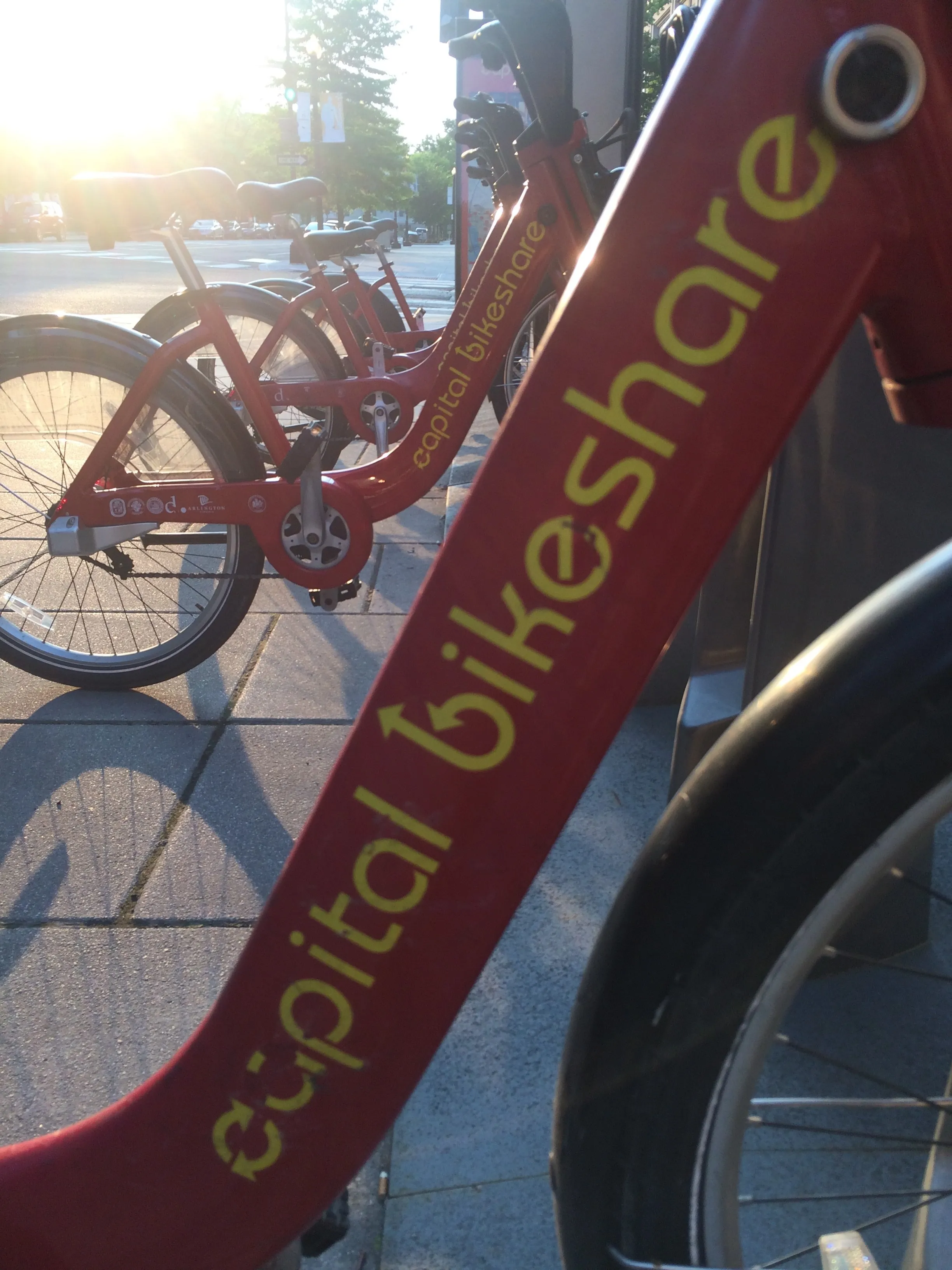
Washington, DC is one of the new cities on Google's list (© ITS International)

Bike-share information from transit data specialist Ito World has been added to Google Maps.

Bike directions have been available in Google Maps for the past decade, but docked bike-share information is now included in 10 cities worldwide, from the US to Taiwan.

Ito World takes operational data from bike-share companies and transforms it into navigable information. 

Google already has dockless bike and scooter integration with Lime in more than 100 cities.

The new information goes further, explains Vishal Dutta, Google Maps product manager: "Steps will include detailed walking directions to bike-share stations near your starting point along with live bike availability, turn-by-turn cycling directions to the bike-share station closest to your destination with live dock availability, and, finally, walking directions from there to your final destination."

Google says that Maps will also show links to open the relevant bike-share app to book and unlock a bike.

The full list of cities is:

Chicago, US (Divvy/Lyft)
New York City, US (Citi Bike/Lyft)
San Francisco Bay Area, US (Bay Wheels/Lyft)
Washington, DC, US (Capital Bikeshare/Lyft)
London, UK (Santander Cycles/TfL)
Mexico City, Mexico (Ecobici)
Montreal, Canada (BIXI/Lyft)
Rio De Janeiro, Brazil (Bike Itaú)
São Paulo, Brazil (Bike Itaú)
Taipei and New Taipei City, Taiwan (YouBike)
 

Related Content

  • April 7, 2017
    TfL challenges app designers to make the most of cycling data
    Transport for London (TfL) has challenged app designers to improve their services to cyclists after expanding the data it makes available to them. TfL has added mapping information for eight Cycle Superhighways and one Quietway to their open data portal, allowing developers to make it even easier for Londoners to find and use the best cycle routes. New Superhighways and Quietways will be added as they open. The information allows developers to accurately map out the existing network within apps and on
  • May 15, 2014
    Public transport now on Google maps
    Millions of people rely on public transit to get around and since 2007 Google has worked to include public transit routes and schedules in Google Maps. In its latest blog, Google says it makes it even easier to get around on public transport with the addition of public transport information for Vancouver, Chicago and every 2016 Olympic Games host city in Brazil. David Tattersall, Google’s product manager, Public Transit says in his blog: “Our transit data spans six continents, 64 countries and more th
  • August 1, 2018
    Ride sharing services increase traffic, says Schaller Consulting
    Ride sharing services such as Uber and Lyft, also called transportation network companies (TNC), are increasing congestion in US cities, says Schaller Consulting. The transport consultancy’s latest report reveals TNCs add 2.6 new vehicle miles on the road for each mile of personal driving removed, increasing driving on city streets by 160%. Called The New Automobility: Lyft, Uber and the Future of American Cities, the document combines research and data from a national travel survey to create a detailed
  • February 21, 2019
    Moscow is world’s most gridlocked city, says Inrix
    Moscow is the most gridlocked city in the world, according to a survey of snarl-ups by Inrix. The company’s annual Global Traffic Scorecard found that road users in the Russian capital lost 210 hours last year because of congestion. Inrix weights the data for population, and found that the next four cities on the congestion roll-call were Istanbul, Turkey; Bogota, Colombia; Mexico City; and São Paulo, Brazil. Brazil had another entry on this unwanted list, with Rio de Janeiro in seventh place. Russ