Ito World bike-share data comes to Google Maps

Riders will be able to use Maps to open bike-share apps to book and unlock a bike
By Adam Hill July 21, 2020 Read time: 2 mins
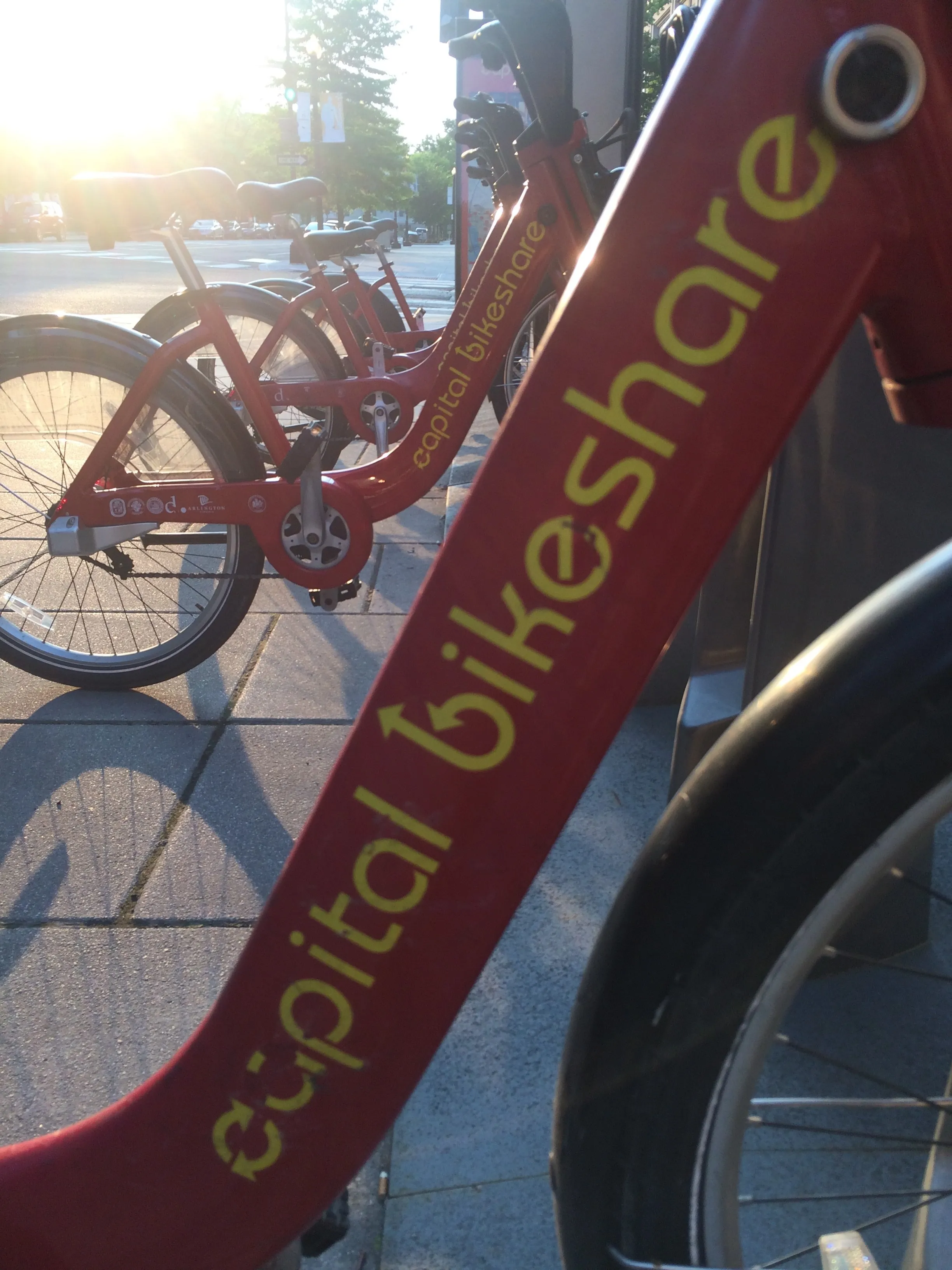
Washington, DC is one of the new cities on Google's list (© ITS International)

Bike-share information from transit data specialist Ito World has been added to Google Maps.

Bike directions have been available in Google Maps for the past decade, but docked bike-share information is now included in 10 cities worldwide, from the US to Taiwan.

Ito World takes operational data from bike-share companies and transforms it into navigable information. 

Google already has dockless bike and scooter integration with Lime in more than 100 cities.

The new information goes further, explains Vishal Dutta, Google Maps product manager: "Steps will include detailed walking directions to bike-share stations near your starting point along with live bike availability, turn-by-turn cycling directions to the bike-share station closest to your destination with live dock availability, and, finally, walking directions from there to your final destination."

Google says that Maps will also show links to open the relevant bike-share app to book and unlock a bike.

The full list of cities is:

Chicago, US (Divvy/Lyft)
New York City, US (Citi Bike/Lyft)
San Francisco Bay Area, US (Bay Wheels/Lyft)
Washington, DC, US (Capital Bikeshare/Lyft)
London, UK (Santander Cycles/TfL)
Mexico City, Mexico (Ecobici)
Montreal, Canada (BIXI/Lyft)
Rio De Janeiro, Brazil (Bike Itaú)
São Paulo, Brazil (Bike Itaú)
Taipei and New Taipei City, Taiwan (YouBike)
 

For more information on companies in this article

Related Content

  • Witkar in Amsterdam: same old, same old
    April 22, 2025
    An electric, shared mobility scheme in a major European city? Nothing remarkable about that - except this one started half a century ago. Beate Kubitz traces the history of Witkar
  • Anywhere card delivers prepaid contactless ticketing
    January 25, 2012
    David Crawford investigates a far reaching initiative in integrated travel. The Port Authority Transit Corporation (PATCO), an operator of high speed commuter rail in the north eastern US, is not one of the world's best known transit providers. Its 13 stations along a single east-west route (three of them interchanges with other regional commuter lines) handle 40,000 passengers a day, travelling to and from Philadelphia, the US' fifth most populous city.
  • Study ranks accessibility to jobs by transit in top US cities
    October 10, 2014
    New research from the Accessibility Observatory at the University of Minnesota ranks 46 of the 50 largest (by population) metropolitan areas in the US for accessibility to jobs by transit. The new rankings, part of the Access Across America study begun last year, focus on accessibility, a measure that examines both land use and transportation systems. Accessibility measures how many destinations, such as jobs, can be reached in a given time. In the study, rankings were determined by a weighted average
  • London comes first for public transport but suffers from congested roads, says Here Technologies
    November 30, 2018
    London has the best public transport system in the world - but the UK capital’s roads are among the most congested, says a new report. Here Technologies’ Urban Mobility Index ranked transit efficiency in 38 cities based on their public transport frequency, density and coverage as well as how public transport performs against car speed. Just behind London are Zurich, Toronto, Washington, DC and Stockholm. However, London was ranked 34th for congestion. The top five least-congested cities are: H