Ito World bike-share data comes to Google Maps

Riders will be able to use Maps to open bike-share apps to book and unlock a bike
By Adam Hill July 21, 2020 Read time: 2 mins
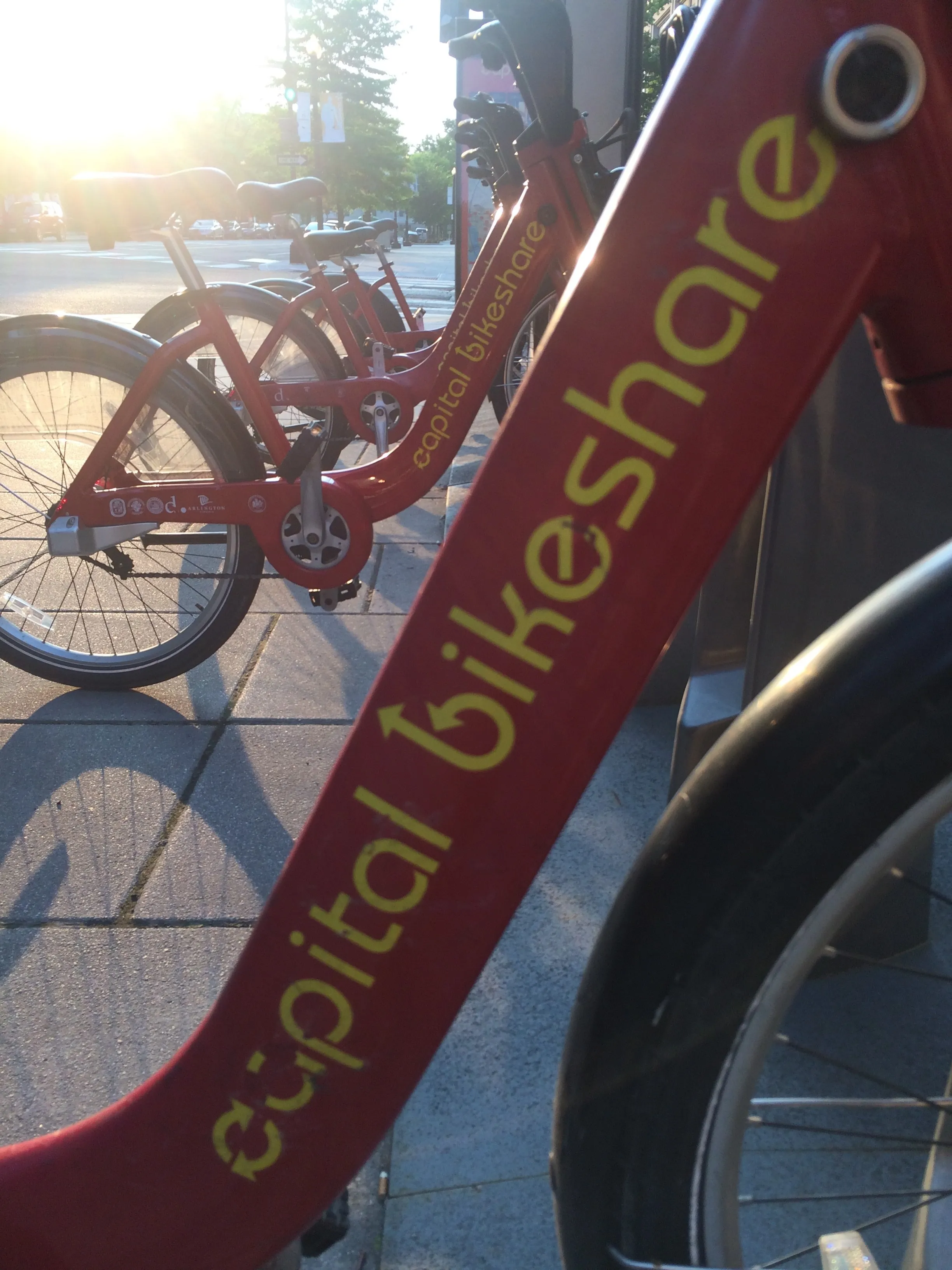
Washington, DC is one of the new cities on Google's list (© ITS International)

Bike-share information from transit data specialist Ito World has been added to Google Maps.

Bike directions have been available in Google Maps for the past decade, but docked bike-share information is now included in 10 cities worldwide, from the US to Taiwan.

Ito World takes operational data from bike-share companies and transforms it into navigable information. 

Google already has dockless bike and scooter integration with Lime in more than 100 cities.

The new information goes further, explains Vishal Dutta, Google Maps product manager: "Steps will include detailed walking directions to bike-share stations near your starting point along with live bike availability, turn-by-turn cycling directions to the bike-share station closest to your destination with live dock availability, and, finally, walking directions from there to your final destination."

Google says that Maps will also show links to open the relevant bike-share app to book and unlock a bike.

The full list of cities is:

Chicago, US (Divvy/Lyft)
New York City, US (Citi Bike/Lyft)
San Francisco Bay Area, US (Bay Wheels/Lyft)
Washington, DC, US (Capital Bikeshare/Lyft)
London, UK (Santander Cycles/TfL)
Mexico City, Mexico (Ecobici)
Montreal, Canada (BIXI/Lyft)
Rio De Janeiro, Brazil (Bike Itaú)
São Paulo, Brazil (Bike Itaú)
Taipei and New Taipei City, Taiwan (YouBike)
 

For more information on companies in this article

Related Content

  • The smart in smart parking
    March 29, 2018
    Whether you want to reduce congestion, increase parking revenue or reduce occupancy – or a mixture of all three – there is plenty of technology available. Andrew Bardin Williams considers the pros and cons. Drawn in by the promise of Smart City initiatives, communities across North America are embracing smart parking solutions in an effort to change citizens’ transportation behaviours for the better. They are doing this by using policy and ITS solutions to help de-incentivise parking for most people while
  • More public transit can cut city traffic deaths by 40%, says study
    September 4, 2018
    US regions with higher public transportation use can cut traffic fatality rates by 10-40%, according to a new figures from the American Public Transportation Association (APTA). APTA analysis of recent National Highway Traffic Safety Administration and Federal Transit Administration data shows that metropolitan areas with public transit use of more than 40 annual trips per capita have up to 40% of the traffic fatality rate of metro areas with fewer than 20 annual trips per capita. APTA and the Vision
  • Cohda Wireless: 'New York has the best urban canyons'
    July 21, 2020
    Dr Paul Alexander, chief technical officer of Cohda Wireless, talks to Adam Hill about DSRC versus C-V2X, global connected vehicle take-up, the uses of WiFi – and, of course, seeing round the Big Apple's buildings...
  • Flowbird digital parking options for Pennsylvania borough
    February 14, 2024
    Carlisle residents can access mobile payment app, pay-by-text and extend-by-text