Ito World bike-share data comes to Google Maps

Riders will be able to use Maps to open bike-share apps to book and unlock a bike
By Adam Hill July 21, 2020 Read time: 2 mins
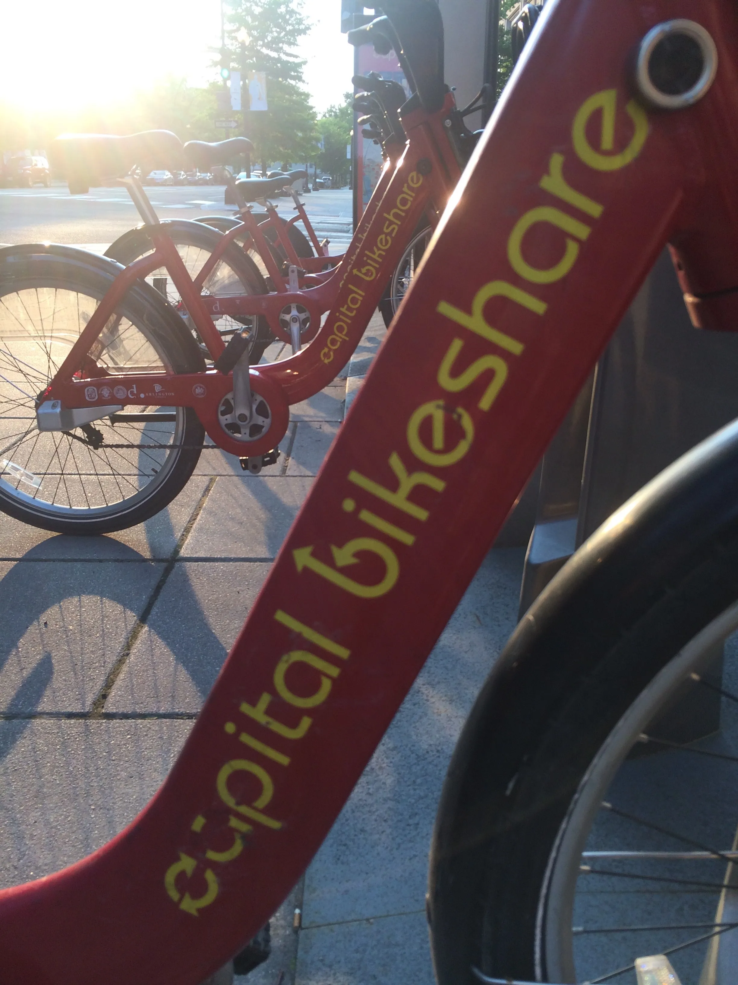
Washington, DC is one of the new cities on Google's list (© ITS International)

Bike-share information from transit data specialist Ito World has been added to Google Maps.

Bike directions have been available in Google Maps for the past decade, but docked bike-share information is now included in 10 cities worldwide, from the US to Taiwan.

Ito World takes operational data from bike-share companies and transforms it into navigable information. 

Google already has dockless bike and scooter integration with Lime in more than 100 cities.

The new information goes further, explains Vishal Dutta, Google Maps product manager: "Steps will include detailed walking directions to bike-share stations near your starting point along with live bike availability, turn-by-turn cycling directions to the bike-share station closest to your destination with live dock availability, and, finally, walking directions from there to your final destination."

Google says that Maps will also show links to open the relevant bike-share app to book and unlock a bike.

The full list of cities is:

Chicago, US (Divvy/Lyft)
New York City, US (Citi Bike/Lyft)
San Francisco Bay Area, US (Bay Wheels/Lyft)
Washington, DC, US (Capital Bikeshare/Lyft)
London, UK (Santander Cycles/TfL)
Mexico City, Mexico (Ecobici)
Montreal, Canada (BIXI/Lyft)
Rio De Janeiro, Brazil (Bike Itaú)
São Paulo, Brazil (Bike Itaú)
Taipei and New Taipei City, Taiwan (YouBike)
 

For more information on companies in this article

Related Content

  • Costing transit is complicated case
    August 19, 2015
    David Crawford welcomes fresh thinking from Canada. Public transit improvements can bring society “significantly more value” than conventional transport models normally indicate, argues Canadian researcher Todd Litman. “Traditional evaluation practices originally developed to assess roadway improvements, and focus primarily on vehicle travel speeds and operating costs. “They do not generally quantify or monetise basic mobility benefits, vehicle ownership and parking cost savings, or efficient land developme
  • Voom’s San Francisco helicopter service lifts off
    October 8, 2019
    Voom is offering helicopter flights to five airports in the San Francisco Bay Area which it says will provide an affordable way to fly over traffic. Voom CEO Clément Monnet says: “Our service will make it easy and affordable for business travellers to travel quickly from locations such as the San Francisco airport to San Jose in only 20 minutes, rather than sitting in traffic for hours trying to get to a meeting.” Voom, an Airbus company with operations in São Paolo and Mexico City , can pool up to five
  • US Cities push for smarter poles
    June 25, 2018
    US Cities The need to connect existing infrastructure has led various US transit authorities into imaginative alleyways: David Crawford examines some new roles for street furniture. US cities are vying with each other in developing schemes to create a new generation of connected places. Their strategies include taking advantage of their streetlight poles’ height and ubiquity to give them new roles in supporting intelligent nodes. They are now being equipped for collecting real-time data on key transport
  • Informal transport moves emerging megacities
    August 11, 2020
    If you want to get to work in emerging markets, the chances are you may not be using traditional public transit lines. Devin de Vries of WhereIsMyTransport makes the case for informal networks