Ito World bike-share data comes to Google Maps

Riders will be able to use Maps to open bike-share apps to book and unlock a bike
By Adam Hill July 21, 2020 Read time: 2 mins
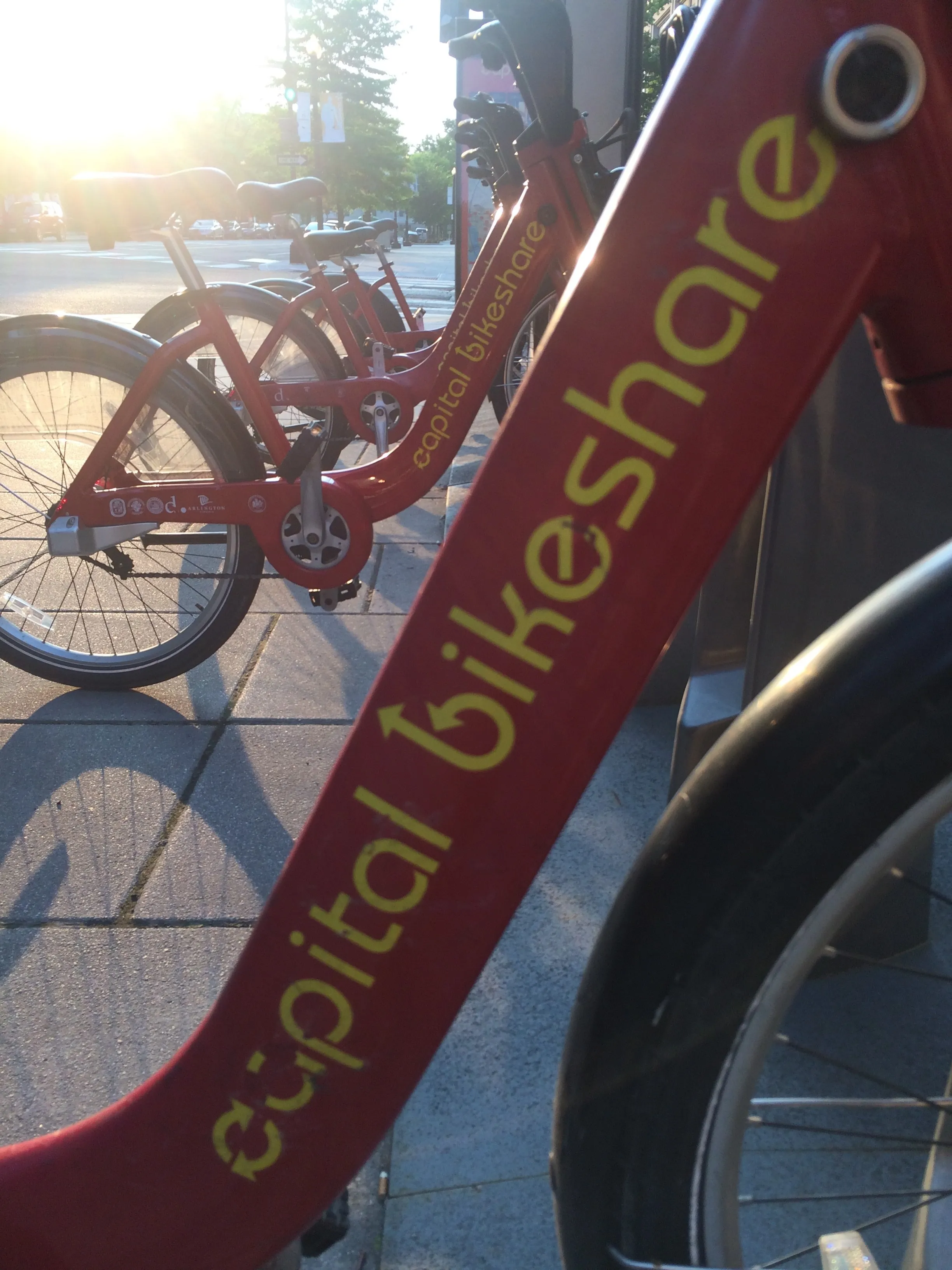
Washington, DC is one of the new cities on Google's list (© ITS International)

Bike-share information from transit data specialist Ito World has been added to Google Maps.

Bike directions have been available in Google Maps for the past decade, but docked bike-share information is now included in 10 cities worldwide, from the US to Taiwan.

Ito World takes operational data from bike-share companies and transforms it into navigable information. 

Google already has dockless bike and scooter integration with Lime in more than 100 cities.

The new information goes further, explains Vishal Dutta, Google Maps product manager: "Steps will include detailed walking directions to bike-share stations near your starting point along with live bike availability, turn-by-turn cycling directions to the bike-share station closest to your destination with live dock availability, and, finally, walking directions from there to your final destination."

Google says that Maps will also show links to open the relevant bike-share app to book and unlock a bike.

The full list of cities is:

Chicago, US (Divvy/Lyft)
New York City, US (Citi Bike/Lyft)
San Francisco Bay Area, US (Bay Wheels/Lyft)
Washington, DC, US (Capital Bikeshare/Lyft)
London, UK (Santander Cycles/TfL)
Mexico City, Mexico (Ecobici)
Montreal, Canada (BIXI/Lyft)
Rio De Janeiro, Brazil (Bike Itaú)
São Paulo, Brazil (Bike Itaú)
Taipei and New Taipei City, Taiwan (YouBike)
 

For more information on companies in this article

Related Content

  • Kapsch CarrierCom implements radio network for Rio De Janeiro metro line
    August 5, 2016
    Kapsch CarrierCom has provided the TETRA (Terrestrial Trunked Radio) communications infrastructure for Line 4 in Rio de Janeiro, Brazil, which began operating on 1 August, in time for the 2016 Olympic Games. TETRA offers voice and data connectivity that is dedicated, secure and highly reliable, ensuring optimal network performance. It facilitates communication for the operator, transmits relevant operational data, and makes a key contribution to an increasing passenger safety and efficiency. The compa
  • HumanForest brings e-mopeds to London 
    December 28, 2021
    Vehicles can travel up to 28mph and join fleet of e-bikes already in UK capital
  • World car emissions on the rise, says Kapsch
    April 29, 2021
    Increased dependence on private vehicles reflects people's Covid infection concerns
  • New opportunities in a data-rich future
    March 19, 2014
    Jason Barnes looks at where the detection and monitoring sector is heading. In the future, there will be no such thing as an un-instrumented road. Just a short time ago, that could have been a quote from a high-level policy document but with the first arrivals of vehicles with 802.11p connectivity – the door-opener to Vehicle-to-X (V2X) applications – it’s a statement which has increasing validity. The technology which uses our roads will also provide information on road conditions but V2X isn’t the only