Indiana helps disabled bus riders plan ahead

Transit Map includes pavement measurements and kerb types for wheelchair access
By Ben Spencer June 2, 2021 Read time: 2 mins
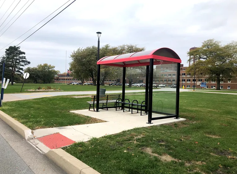
Online map will help disabled riders determine the accessibility of every bus stop in the region (image credit: NIRPC)

The Northwestern Indiana Regional Planning Commission (NIRPC) has released an online map to help disabled riders determine the accessibility of every bus stop in the region. 

The NIRPC recognises that small challenges for disabled riders like the size of a doorway or the softness of the gravel at a bus stop “can throw a wrench in their plans”.

The Northwest Indiana Transit Map provides Google Map directions to the location of a stop, photos and a physical description. It also includes pavement measurements, kerb types for wheelchair access, and amenities like covered or heated structures and the proximity to nearby bus routes in the counties of Lake, Porter and La Porte. 

The map also provides information on the presence of a shelter, the interior space available and the width of its entryway. 

Other details contained within the map include connections to adjacent transportation such as a bus route or train station within two blocks of the bus stop and connections like park and ride and transit facilities.

Kevin Polette, technical assistant with NIRPC, says: “The Northwest Indiana Transit Map is a place to view all bus stops from every transit agency in Northwest Indiana."

"We collected data on every stop, with pictures and the conditions of the bus stops. While collecting the data, we were also able to take public comments from the riders about the bus stops and routes.”

The NIRPC passed public feedback about the bus stops on to transit operators. 

The commission's urban planners hope the map will contribute to municipal and county transportation planning and will influence the decisions of municipal transit operators.

For more information on companies in this article

Related Content

  • OPINION: ITS must be included in EU Green Deal
    September 14, 2022
    To reach the objectives of the European Green Deal, a classification system has been developed to identify environmentally-sustainable activities. However, Richard Lax of Kapsch TrafficCom is worried that it might not have the intended effect – and ITS could lose out as a result…
  • San Antonio integrates bus and bike
    June 2, 2022
    Texas city's Transit app users now have access to Via Metropolitan Transit and BCycle
  • NextBus meets the demand for real-time passenger information
    December 18, 2014
    Cubic Transportation Systems’ subsidiary, NextBus has been awarded three prestigious contracts totalling more than US$4.3 million for its in-demand real-time passenger information systems (RTPI) product suite. The San Francisco Municipal Transportation Agency (SFMTA) has exercised an option with NextBus valued at US$2 million under a contract awarded in 2013. The contract includes the RTPI system that NextBus hosts for Muni as well as maintaining onboard hardware, bus shelter signs and LCDs in subways.
  • Apps help passengers avoided overcrowded public transport
    May 30, 2013
    David Crawford reviews innovations in the comfort zone. Anyone who rides public transport knows that, perhaps second only to delays, overcrowding is a critical part of the passenger experience,” says Nir Erez, CEO of Moovit, the Israel-based social transportation app developer. The app is aimed at taking real-time user feedback on transit and making it available to a wider audience of travellers. Currently available on iPhone and Android, it plans to add Windows 8 and other platforms in the future. Moovit i