Indiana helps disabled bus riders plan ahead

Transit Map includes pavement measurements and kerb types for wheelchair access
By Ben Spencer June 2, 2021 Read time: 2 mins
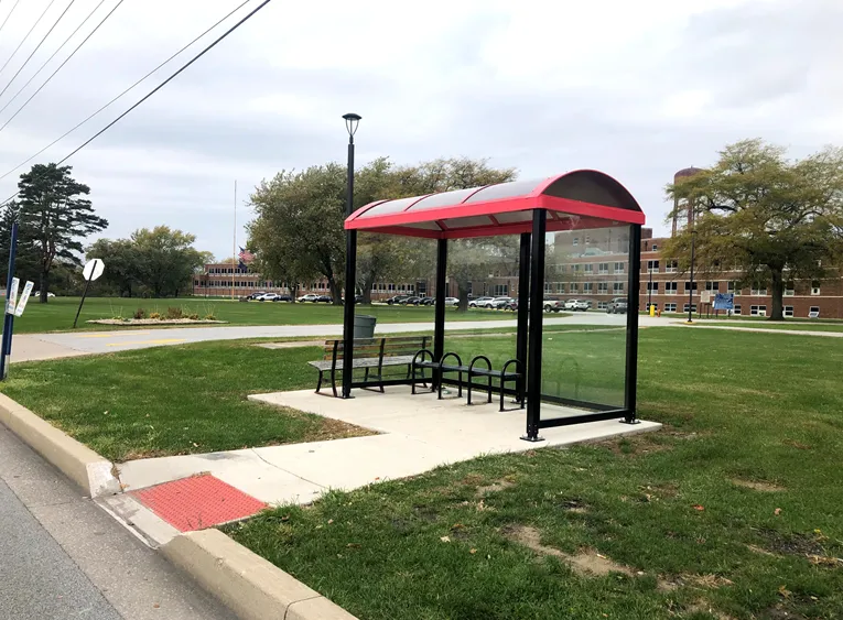
Online map will help disabled riders determine the accessibility of every bus stop in the region (image credit: NIRPC)

The Northwestern Indiana Regional Planning Commission (NIRPC) has released an online map to help disabled riders determine the accessibility of every bus stop in the region. 

The NIRPC recognises that small challenges for disabled riders like the size of a doorway or the softness of the gravel at a bus stop “can throw a wrench in their plans”.

The Northwest Indiana Transit Map provides Google Map directions to the location of a stop, photos and a physical description. It also includes pavement measurements, kerb types for wheelchair access, and amenities like covered or heated structures and the proximity to nearby bus routes in the counties of Lake, Porter and La Porte. 

The map also provides information on the presence of a shelter, the interior space available and the width of its entryway. 

Other details contained within the map include connections to adjacent transportation such as a bus route or train station within two blocks of the bus stop and connections like park and ride and transit facilities.

Kevin Polette, technical assistant with NIRPC, says: “The Northwest Indiana Transit Map is a place to view all bus stops from every transit agency in Northwest Indiana."

"We collected data on every stop, with pictures and the conditions of the bus stops. While collecting the data, we were also able to take public comments from the riders about the bus stops and routes.”

The NIRPC passed public feedback about the bus stops on to transit operators. 

The commission's urban planners hope the map will contribute to municipal and county transportation planning and will influence the decisions of municipal transit operators.

For more information on companies in this article

Related Content

  • Masabi expands MaaS ticketing in Japan 
    April 5, 2021
    Tickets now available via Jorudan's Japan Transit Planner and Norikae Annai apps
  • Sydney gets real-time bus information
    December 18, 2012
    Sydney bus passengers can now track whether their bus service is running late, with the New South Wales (NSW) government making real-time information on bus movements available to mobile app developers. The latest versions of TripView, Arrivo Sydney and TripGo allow users to locate the nearest bus stop and ticket machine, predict when a bus is to arrive and see where a bus is on its route using GPS data from the Public Transport Information Priority System (PTIPS). The real time information will initially b
  • Washington State gets active on transportation
    May 14, 2021
    DoT makes plans for VRUs - who currently represent 21% of Washington State's traffic fatalities
  • Transportation hub the centre of sustainable urban development
    November 21, 2012
    A marriage of transit, technology and culture is taking shape in Minneapolis, with ITS systems vital to hopes for a sustainable development centred on a hub of public transportation. Construction started in July this year on ‘The Interchange’ – a station in the Midwest US city of Minneapolis claimed as the most spectacular expression yet of the fast-spreading North American concept of transit-oriented development (TOD). Due for completion in 2014, the Interchange is designed as a multi-modal public transpor