GIS monitors 13,000 km of Pakistan's roads

National Highway Authority will use digital assets to plan and operate transport systems
By Ben Spencer September 28, 2021 Read time: 1 min
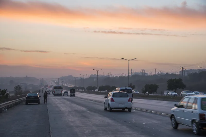
A control room will be set up at NHA's headquarters in Islamabad to run the programme (© Hisam Jamal | Dreamstime.com)

Pakistan's National Highway Authority (NHA) is to use its geographical information system (GIS) that has digitised 13,000km of roads for project planning, according to The Nation.

A new control room will be set up at NHA's headquarters in Islamabad to run the programme. The Road Assets Management Directorate (RAMD) of the NHA will operate the system. 

RAMD general manager Naseem Khattak says the GIS provides inventory and spatial information of all assets, limits of right of way (ROW) and roadside land and amenities. 

The system is expected to help manage and integrate a range of information necessary for the planning, design, operation and maintenance of transportation systems and facilities. 

This technology has enabled NHA to identify about 90,000 commercial amenities along ROW limits.

The GIS includes that digitisation of ROW limits and all assets within ROW, including carriageways, bridges, culverts, retaining walls, sign broads, guard rails, gantries, pedestrian bridges. 

The geodatabase also provides an interpretation of traffic density, road conditions and locations with a high concentration of accidents.

NHA field officers working for the authority can access it via a web GIS interface.

For more information on companies in this article

Related Content

  • IBTTA elects Fremier as vice president
    March 8, 2021
    Bay Area Toll Authority's Andrew Fremier to take up 2021 leadership role at IBTTA
  • AVs coming to Florida mobility corridor 
    March 4, 2022
    Jacksonville Transportation Authority project supported by $12.5m grant from USDoT
  • WBCSD calls on India EV pledge 
    October 25, 2021
    World Business Council says targets are necessary to reach Paris Agreement goals 
  • Regulating rural road use
    June 20, 2016
    David Crawford looks at problems facing indigenous communities and those unfamiliar with driving in rural areas. While it is well known that the fatality rate for road crashes in rural areas is higher than in towns and cities, some groups suffer far more than others. For instance, the rates of death and serious injury from vehicle accidents is much higher for American Indian and Alaska Native (AI and AN) populations living in rural tribal lands than for any of the country’s other ethnic populations. Crashes