GIS monitors 13,000 km of Pakistan's roads

National Highway Authority will use digital assets to plan and operate transport systems
By Ben Spencer September 28, 2021 Read time: 1 min
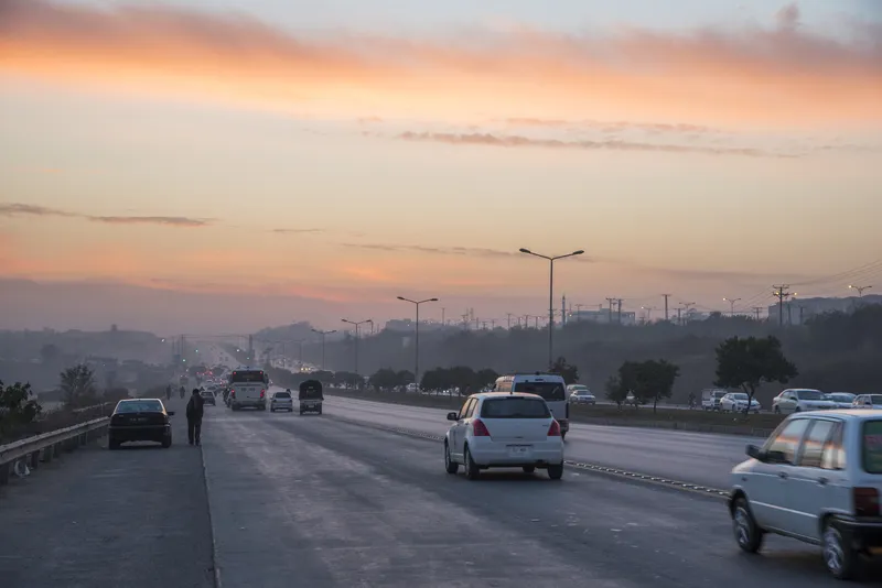
A control room will be set up at NHA's headquarters in Islamabad to run the programme (© Hisam Jamal | Dreamstime.com)

Pakistan's National Highway Authority (NHA) is to use its geographical information system (GIS) that has digitised 13,000km of roads for project planning, according to The Nation.

A new control room will be set up at NHA's headquarters in Islamabad to run the programme. The Road Assets Management Directorate (RAMD) of the NHA will operate the system. 

RAMD general manager Naseem Khattak says the GIS provides inventory and spatial information of all assets, limits of right of way (ROW) and roadside land and amenities. 

The system is expected to help manage and integrate a range of information necessary for the planning, design, operation and maintenance of transportation systems and facilities. 

This technology has enabled NHA to identify about 90,000 commercial amenities along ROW limits.

The GIS includes that digitisation of ROW limits and all assets within ROW, including carriageways, bridges, culverts, retaining walls, sign broads, guard rails, gantries, pedestrian bridges. 

The geodatabase also provides an interpretation of traffic density, road conditions and locations with a high concentration of accidents.

NHA field officers working for the authority can access it via a web GIS interface.

For more information on companies in this article

Related Content

  • Jenoptik uses sensor fusion to avoid monitoring confusion
    January 26, 2018
    Jenoptik’s Uwe Urban looks at the advantages of ‘sensor fusion’ for the ITS sector. When considering the ideal sensing and monitoring system to enable the ITS sector to deliver improvements in mobility and road safety, for general policing security and border protection, we have to think beyond radar-base systems or laser scanners. What is needed today are solutions for detecting and tracking vehicles while recording evidence to deacide if any action is necessary. There is no sole sensor capable of
  • Magway delivers future of transport
    January 18, 2021
    A dramatic shift towards e-commerce and home working, plus the need for sustainable deliveries, means future cities are at a crossroads, says Phill Davies of Magway
  • Smart car, dumb road
    April 29, 2022
    We need an intelligent infrastructure that communicates, says Markus Schlitt of Yunex Traffic
  • Humanising Autonomy aids VRU perception
    May 31, 2021
    Behaviour AI 'enables more accurate' VRU collision warnings for drivers than ADAS does