GeoSLAM showcases 3D mobile mapping for GIS at ESRI User Conference 2017

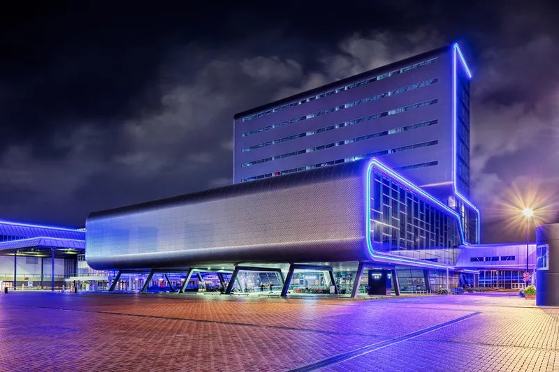
3D mobile mapping specialist GeoSLAM, a Silver ESRI Business Partner, is participating in the international ESRI User Conference at San Diego Convention Centre on 10-14 July to demonstrate its live digital 3D modelling capability.
July 10, 2017 Read time: 1 min

3D mobile mapping specialist GeoSLAM, a Silver 50 ESRI Business Partner, is participating in the international ESRI User Conference at San Diego Convention Centre on 10-14 July to demonstrate its live digital 3D modelling capability.

GeoSLAM will be scanning the exhibition hall and the Convention Centre using its handheld laser scanning solution, the ZEB-REVO and turning it into a live digital 3D model, to show how the ZEB REVO enables users to rapidly generate and integrate 3D models into their ArcGIS workflows. The system is already in use around the world in a variety of industries such as facilities and asset management, forestry, mining, surveying and engineering.

GeoSLAM will be working with the ESRI Team at the ESRI 3D Island stand in the main hall of the Convention Center, providing live demonstrations of the handheld, mobile surveying system and showcasing how quickly and easily the captured 3D data can be imported into and used in ESRI’s ArcGIS and CityEngine software.

For more information on companies in this article

Related Content

  • Looking for the next generation of smart city innovators
    July 24, 2015
    With the aim of fostering innovation and developing the next generation of technology talent, GE Lighting has become the founding sponsor of a unique new urban regeneration initiative, the Intelligent Community Challenge. Centred on a design competition, the initiative aims to crowd source new perspectives and fresh ideas on key urban challenges such as public safety, crime, social inclusion, traffic and pollution, by uniting local councils, communities and university students to develop intelligent and inn
  • Intertraffic Awards 2022: enter now!
    December 15, 2021
    Exhibitors have until 20 January to enter the awards: there are three categories
  • CES 2023: Seoul Robotics releases SENSR 3.0
    January 5, 2023
    3D perception platform is used in ITS applications to boost traffic flow and road safety
  • Linux forms foundation to improve mobility
    May 15, 2019
    The Linux Foundation has formed the Urban Computing Foundation to allow companies like Google and Uber to collaborate on open source software to improve mobility. Linux, a non-profit organisation, says the software can also be used to improve safety, traffic congestion and energy consumption in connected cities. Jim Zemlin, executive director of Linux, says: “The Urban Computing Foundation is poised to provide the compatibility tools and resources for developers to create software that can map out a