GeoSLAM showcases 3D mobile mapping for GIS at ESRI User Conference 2017

3D mobile mapping specialist GeoSLAM, a Silver ESRI Business Partner, is participating in the international ESRI User Conference at San Diego Convention Centre on 10-14 July to demonstrate its live digital 3D modelling capability.
July 10, 2017 Read time: 1 min

3D mobile mapping specialist GeoSLAM, a Silver 50 ESRI Business Partner, is participating in the international ESRI User Conference at San Diego Convention Centre on 10-14 July to demonstrate its live digital 3D modelling capability.

GeoSLAM will be scanning the exhibition hall and the Convention Centre using its handheld laser scanning solution, the ZEB-REVO and turning it into a live digital 3D model, to show how the ZEB REVO enables users to rapidly generate and integrate 3D models into their ArcGIS workflows. The system is already in use around the world in a variety of industries such as facilities and asset management, forestry, mining, surveying and engineering.

GeoSLAM will be working with the ESRI Team at the ESRI 3D Island stand in the main hall of the Convention Center, providing live demonstrations of the handheld, mobile surveying system and showcasing how quickly and easily the captured 3D data can be imported into and used in ESRI’s ArcGIS and CityEngine software.

For more information on companies in this article

Related Content

  • Debating road user charging systems
    January 26, 2012
    Are pre-launch trials of charging systems the way to improve public acceptance? Or is the real key a more robust political attitude? Here, leading system suppliers discuss the issue. The use of distance-based Road User Charging (RUC) is now well established, at least for heavy goods vehicles on strategic roads. However demand management for all vehicles, whether a distance-based charge or some form of cordon scheme, has yet to make significant progress. This is in spite of the logic and equity of RUC being
  • Wejo makes the data connection
    October 12, 2021
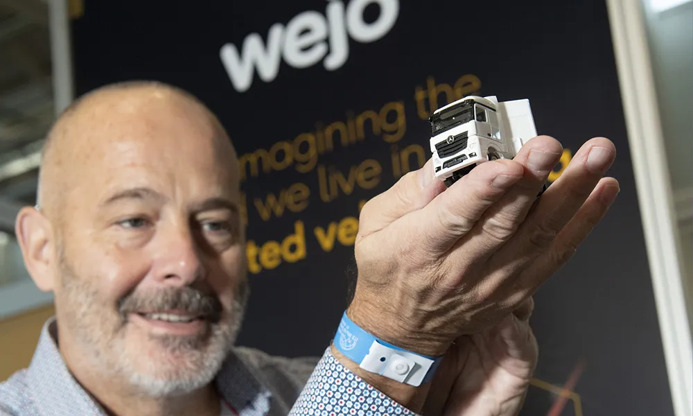
    Wejo, a global leader in connected vehicle data, is here in Hamburg to launch Wejo Studio and to allow attendees to discover the mobility revolution and how connected vehicle data is transforming how we live, work, and travel
  • TomTom brings navigation technology to Acer smartphones
    November 20, 2014
    TomTom has announced a multi-year deal with Acer, to bring its navigation technology to new Acer smartphones. Initial roll-out will begin with Europe in the fourth quarter of 2014. ‘AcerNAV’ is a turn-by-turn navigation application powered by TomTom’s navigation engine, NavKit. The new app enables users to navigate anywhere in the world, without extra roaming charges, and the ability to download any TomTom map for free.
  • 3D Repo’s VR Simulator helps TRL shape future of autonomous vehicle services
    August 11, 2017
    3D Repo is creating 3D virtual reality visualisations to help simulate driverless vehicle routes as part of a US$130 million (£100 million) UK government-backed research project. Led by TRL, the project is part of the Smart Mobility Living Lab, located in Greenwich, London. The Living Lab provides a real-life environment where connected and autonomous vehicles (CAVs) can be developed, evaluated and integrated with the local community. 3D Repo’s cloud-based Building Information Modelling (BIM) collaboration