GeoSLAM showcases 3D mobile mapping for GIS at ESRI User Conference 2017

3D mobile mapping specialist GeoSLAM, a Silver ESRI Business Partner, is participating in the international ESRI User Conference at San Diego Convention Centre on 10-14 July to demonstrate its live digital 3D modelling capability.
July 10, 2017 Read time: 1 min

3D mobile mapping specialist GeoSLAM, a Silver 50 ESRI Business Partner, is participating in the international ESRI User Conference at San Diego Convention Centre on 10-14 July to demonstrate its live digital 3D modelling capability.

GeoSLAM will be scanning the exhibition hall and the Convention Centre using its handheld laser scanning solution, the ZEB-REVO and turning it into a live digital 3D model, to show how the ZEB REVO enables users to rapidly generate and integrate 3D models into their ArcGIS workflows. The system is already in use around the world in a variety of industries such as facilities and asset management, forestry, mining, surveying and engineering.

GeoSLAM will be working with the ESRI Team at the ESRI 3D Island stand in the main hall of the Convention Center, providing live demonstrations of the handheld, mobile surveying system and showcasing how quickly and easily the captured 3D data can be imported into and used in ESRI’s ArcGIS and CityEngine software.

For more information on companies in this article

Related Content

  • Xerox’s mobility app offers Mobility as a Service
    June 1, 2016
    Andrew Bardin Williams looks at a new mobility app in Los Angeles and Denver that brings Mobility as a Service one step closer. Commuting today doesn’t have to require a single modal route. You can take Uber to the nearest light-rail station or a bus to the commuter line. Then on the other end of your trip, you can book a bikeshare the rest of the way to your office. For many who live in major metropolitan areas around the US this is a distinct reality as new ways to move from Point A to Point B continue to
  • Ford equips autonomous cars with night vision
    April 13, 2016
    Ford recently conducted tests at its Arizona proving ground to determine how autonomous cars could navigate at night without headlights. According to Ford, it’s an important development, in that it shows that even without cameras, which rely on light, Ford’s LiDAR, working with the car’s virtual driver software, is robust enough to steer around winding roads. While it’s ideal to have all three modes of sensors, radar, cameras and LiDAR, the latter can function independently on roads without stoplights.
  • Cooperative infrastructures, cooperative enforcement?
    March 2, 2012
    A dozen years from now, will enforcement still be constrained by the legislative thinking which currently prevails? Or will the needs of the wider transport community bring about some welcome changes?
  • Watch your step: the sidewalk robots are here
    March 14, 2023
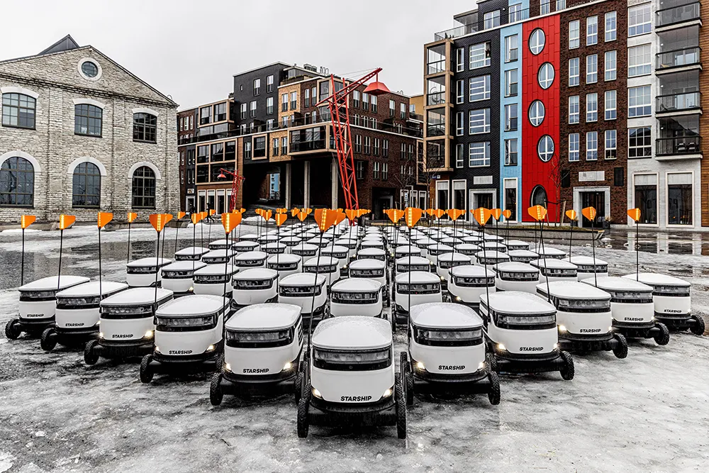
    The way we order and pay for goods has changed radically – but what about how those goods are delivered? Gordon Feller looks at how sidewalk robots might reshape the urban landscape