GeoSLAM showcases 3D mobile mapping for GIS at ESRI User Conference 2017

3D mobile mapping specialist GeoSLAM, a Silver ESRI Business Partner, is participating in the international ESRI User Conference at San Diego Convention Centre on 10-14 July to demonstrate its live digital 3D modelling capability.
July 10, 2017 Read time: 1 min

3D mobile mapping specialist GeoSLAM, a Silver 50 ESRI Business Partner, is participating in the international ESRI User Conference at San Diego Convention Centre on 10-14 July to demonstrate its live digital 3D modelling capability.

GeoSLAM will be scanning the exhibition hall and the Convention Centre using its handheld laser scanning solution, the ZEB-REVO and turning it into a live digital 3D model, to show how the ZEB REVO enables users to rapidly generate and integrate 3D models into their ArcGIS workflows. The system is already in use around the world in a variety of industries such as facilities and asset management, forestry, mining, surveying and engineering.

GeoSLAM will be working with the ESRI Team at the ESRI 3D Island stand in the main hall of the Convention Center, providing live demonstrations of the handheld, mobile surveying system and showcasing how quickly and easily the captured 3D data can be imported into and used in ESRI’s ArcGIS and CityEngine software.

For more information on companies in this article

Related Content

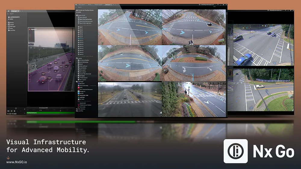
  • Network Optix will unveil Nx Go
    August 30, 2024

    Since 2014, Network Optix has been a global leader in video management, with over 4.5 million cameras under management across 150 countries. Built on its award-winning interface and known for eff ortless video management, Nx Go is the company’s latest innovation, specifically designed for the transportation industry. It enables visual infrastructure for advanced mobility – datadriven transportation from video.

  • Teledyne Flir: here’s how to find the right ITS camera
    January 4, 2022
    From lighting to weather, there are so many elements which need to be taken into account when choosing a camera for ITS operations. Riana Sartori from Teledyne Flir offers a buyer’s guide
  • SensTraffic stars for Sensys in San Jose
    June 13, 2016
    Today at ITS America 2016 San Jose is highlighting Sensys Networks announces SensTraffic, a traffic data and analytical Smart City software platform for managing corridors and intersections. According to the company, this new service improves upon the highly manual and inefficient methods to collect traffic data and incorporate it into actionable insights. Traffic engineers can generate a wide variety of detailed reports including congestion mapping, travel times, origin/destination, high-resolution perform
  • Vitronic showcases enforcement and tolling flexibility
    October 6, 2015
    LIDAR pioneer Vitronic has a newly designed stand to present its latest developments in both traffic enforcement and tolling solutions. A world first at the ITS World Congress is the Enforcement Trailer, a new housing concept that allows autonomous operation without the need for existing infrastructure or human intervention.