Esri ArcGIS Online and Data Appliance to use Navteq North America and Europe maps

Navteq has announced that North America and Europe coverage is now available on Esri ArcGIS Online and Data Appliance. Last summer, Esri launched Navteq map coverage for Australia, New Zealand, Brazil, Colombia, Venezuela, Chile and Argentina on ArcGIS Online.
March 23, 2012 Read time: 1 min
295 Navteq has announced that North America and Europe coverage is now available on 50 ESRI ArcGIS Online and Data Appliance. Last summer, Esri launched Navteq map coverage for Australia, New Zealand, Brazil, Colombia, Venezuela, Chile and Argentina on ArcGIS Online.

ArcGIS Online provides a common platform to find, share, and organise geographic content to build geographic information system (GIS) applications. Through ArcGIS Online users can access ready-to-use global basemaps and task services such as geocoding and routing to build their own maps and apps, and easily share them with a broad community of users.

ArcGIS Data Appliance is a unique combination of hardware and data that provides the security and performance that users need. The enterprise scalable server plugs into an organisation's internal network and serves terabytes of worldwide reference map data.

Related Content

  • June 14, 2017
    Deriving data to tackle tribal road crashes
    David Crawford looks at a new initiative to deal with high crash and fatality rates on America’s tribal roads. According to the US Centres for Disease Control and Prevention, on average two members of the country’s indigenous communities - American Indians or Alaskan Natives (AI/AN) - die every day in motor vehicle crashes. This represents a far higher percentage than that of the country’s general population. Historically, the US states with the worst records are Wyoming, South Dakota, Montana, North Dakot
  • May 29, 2014
    The role of GIS in climate change resiliency
    Climate change will pose global and local challenges and that includes risks to the transportation infrastructure. Climate change adaptation and resiliency has captured the attention of the transportation community for some time now. Because transportation infrastructure is often designed to last for 30, 50, or 100 years or even longer, transportation professionals are concerned not only about the impact on our existing investments, but also how to design more durable transportation systems for the future
  • March 22, 2012
    Garmin to use Navteq map in in Australia and New Zealand
    Garmin has announced that it will transition its map provider for the majority of its Nuvi range of personal navigation devices (PNDs) to Navteq from February 2012. Garmin PNDs in Australia and New Zealand released from next month will join the majority of Garmin's global range that already use Navteq as a map provider. "Navteq has been Garmin's map provider in the United States and throughout most European countries for many years and they have invested heavily in the Australian and New Zealand markets to
  • October 6, 2020
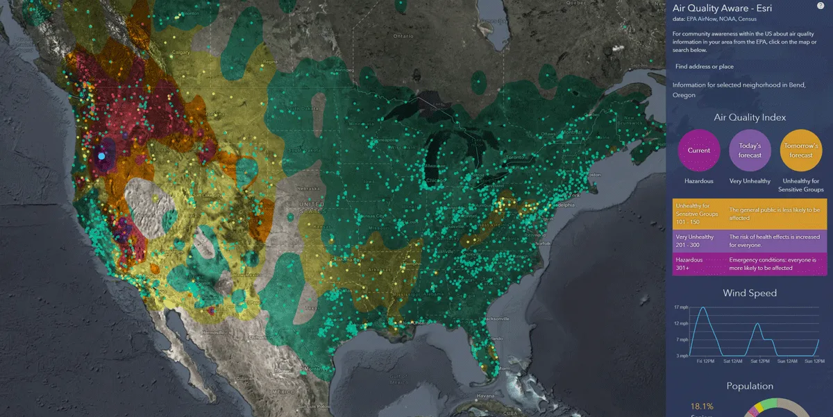
    Esri exposes US air pollution impact
    App uses data from AirNow programme, American Community Survey and NOAA wind forecast