Esri ArcGIS Online and Data Appliance to use Navteq North America and Europe maps

Navteq has announced that North America and Europe coverage is now available on Esri ArcGIS Online and Data Appliance. Last summer, Esri launched Navteq map coverage for Australia, New Zealand, Brazil, Colombia, Venezuela, Chile and Argentina on ArcGIS Online.
March 23, 2012 Read time: 1 min
295 Navteq has announced that North America and Europe coverage is now available on 50 ESRI ArcGIS Online and Data Appliance. Last summer, Esri launched Navteq map coverage for Australia, New Zealand, Brazil, Colombia, Venezuela, Chile and Argentina on ArcGIS Online.

ArcGIS Online provides a common platform to find, share, and organise geographic content to build geographic information system (GIS) applications. Through ArcGIS Online users can access ready-to-use global basemaps and task services such as geocoding and routing to build their own maps and apps, and easily share them with a broad community of users.

ArcGIS Data Appliance is a unique combination of hardware and data that provides the security and performance that users need. The enterprise scalable server plugs into an organisation's internal network and serves terabytes of worldwide reference map data.

For more information on companies in this article

Related Content

  • Transport in the round
    October 13, 2015
    The ITF’s Mary Crass tells Colin Sowman why future transport demands will require governments to overcome the silo effect of individual single-modal authorities. The only global multimodal transport policy organisation,” is how Mary Crass describes the International Transport Forum (ITF), which is housed at the Organisation for Economic Cooperation and Development (OECD). As head of policy and summit preparation at the ITF she says: “All other organisations are either regional or have a modal focus, we cove
  • Hello LA! It's showtime!
    September 19, 2022
    Welcome to this year’s ITS World Congress, organised by RX Global. Jaime McAuley, the company’s event director, provides some highlights of what will be an amazing and unforgettable show
  • Alternate routes with SkedGo’s Traffic-Alt
    February 19, 2024
    Traffic incident alert app uses data sourced from Main Roads Western Australia
  • TomTom and Esri fusion transform urban mobility
    April 28, 2025

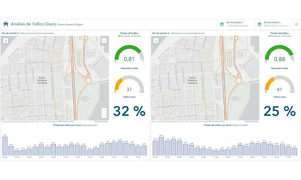
    A collaboration between TomTom and Esri will take centre stage at the upcoming Congress with a session titled "Driving Insights: Unlocking the Power of TomTom Historic Traffic Data in ArcGIS.” Led by industry experts Frans Keijzer from TomTom and Jaime Nieves from Esri Spain, this presentation will showcase how integrating TomTom's historical traffic data with the ArcGIS platform has transformed urban mobility in Gran Canaria, Spain.