Esri ArcGIS Online and Data Appliance to use Navteq North America and Europe maps

Navteq has announced that North America and Europe coverage is now available on Esri ArcGIS Online and Data Appliance. Last summer, Esri launched Navteq map coverage for Australia, New Zealand, Brazil, Colombia, Venezuela, Chile and Argentina on ArcGIS Online.
March 23, 2012 Read time: 1 min
295 Navteq has announced that North America and Europe coverage is now available on 50 ESRI ArcGIS Online and Data Appliance. Last summer, Esri launched Navteq map coverage for Australia, New Zealand, Brazil, Colombia, Venezuela, Chile and Argentina on ArcGIS Online.

ArcGIS Online provides a common platform to find, share, and organise geographic content to build geographic information system (GIS) applications. Through ArcGIS Online users can access ready-to-use global basemaps and task services such as geocoding and routing to build their own maps and apps, and easily share them with a broad community of users.

ArcGIS Data Appliance is a unique combination of hardware and data that provides the security and performance that users need. The enterprise scalable server plugs into an organisation's internal network and serves terabytes of worldwide reference map data.

Related Content

  • Real-time winter visibility from Esri
    October 8, 2020
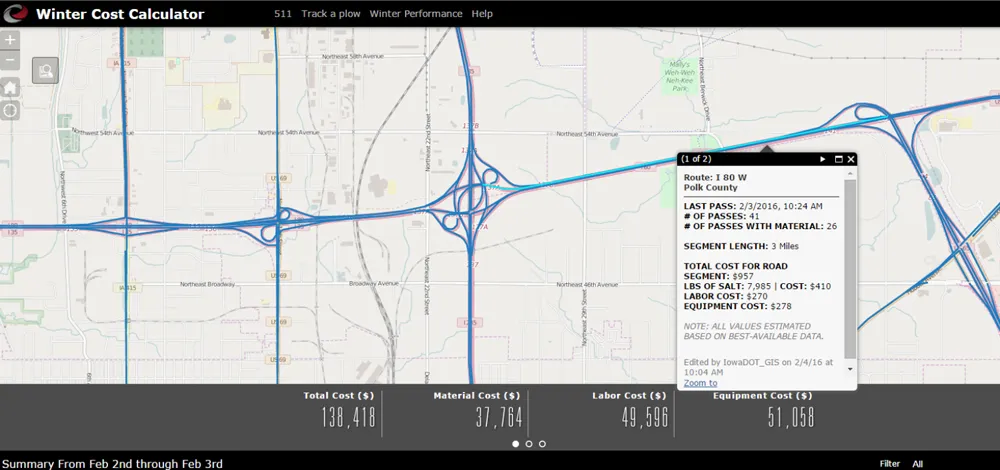
    Keeping the roadways clear during the winter months has become smarter and more transparent at the Iowa Department of Transportation.
  • More openness - the simple answer to transport's data issues
    October 22, 2018
    Public transit agencies create a lot of data – but using it constructively to solve transportation issues has been a problem. Ben Winokur and Luke Segars think they have the answer: greater openness. Today, more people are connected through smartphones than ever before - and they’re using them for more than texting and calling. People are searching for jobs on their devices, dating, shopping and even managing their finances. But Forbes reports that only a select few companies leverage all the technology at
  • Big data and GPS combine to cut emergency response times
    April 2, 2014
    David Crawford looks at technologies for better emergency medical service delivery. Emergency medical services (EMS) play key roles in transporting, or bringing treatment to, patients who become ill through medical emergencies or are injured in road traffic accidents (RTAs). But awareness has been rising steadily, in the US and elsewhere, of the extent to which EMS can generate their own emergencies. The most common cause is vehicles causing or becoming involved in RTAs, as a result of driving fast under pr
  • Pioneering new passenger information systems
    February 3, 2012
    Chicago pioneers new passenger information initiatives. By David Crawford