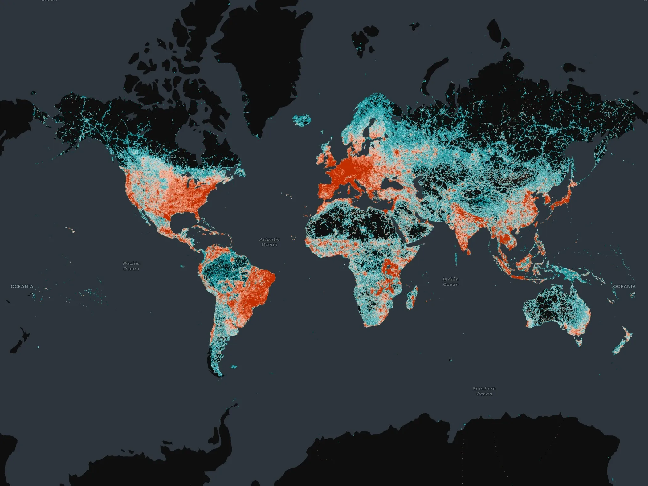
Esri ArcGIS Online and Data Appliance to use Navteq North America and Europe maps

Navteq has announced that North America and Europe coverage is now available on Esri ArcGIS Online and Data Appliance. Last summer, Esri launched Navteq map coverage for Australia, New Zealand, Brazil, Colombia, Venezuela, Chile and Argentina on ArcGIS Online.
March 23, 2012 Read time: 1 min
295 Navteq has announced that North America and Europe coverage is now available on 50 ESRI ArcGIS Online and Data Appliance. Last summer, Esri launched Navteq map coverage for Australia, New Zealand, Brazil, Colombia, Venezuela, Chile and Argentina on ArcGIS Online.

ArcGIS Online provides a common platform to find, share, and organise geographic content to build geographic information system (GIS) applications. Through ArcGIS Online users can access ready-to-use global basemaps and task services such as geocoding and routing to build their own maps and apps, and easily share them with a broad community of users.

ArcGIS Data Appliance is a unique combination of hardware and data that provides the security and performance that users need. The enterprise scalable server plugs into an organisation's internal network and serves terabytes of worldwide reference map data.

Related Content

  • June 20, 2012
    Vicon appoints representative for South America’s Mercosur countries
    Vicon Industries, a leading designer and producer of network video management systems, has announced that FVR Security will serve as the company’s representative within the countries of Brazil, Argentina, Paraguay, Uruguay and Chile. Headquartered in Sao Paolo, Brazil, FVR Security has more than ten years of expertise providing physical and video security management solutions through the use of information technology. The firm is a silver partner of Motorola Solutions, making the addition of Vicon’s cameras
  • December 20, 2024
    Overture Maps releases its transportation dataset
    Open-map dataset includes 86 million kilometres of roads worldwide
  • March 13, 2012
    Citilabs announces Cube version 5
    Citilabs has released its next-generation product line, Cube 5. This new version of Cube has been developed using ESRI's ArcGIS technology, providing software users with significant advancements in productivity, analysis and data-sharing. Cube users will now be able to store transportation networks as ESRI geodatabases, utilising ESRI feature classes. Citilabs says moving data back and forth between models and GIS has never been easier, saving transportation agencies and consultants time and money.
  • February 28, 2013
    The cloud - the future of in-car telematics?
    Fiat Chrysler product concept and infotainment director Pierpaolo Tona told the conference that the big car manufacturers need to organise their telematics approach around three key pillars – and the first one of those is people. “OEMs need to understand consumers and their needs better than they understand them themselves,” he commented. The second pillar, suggested Tona, is technology. “Technology is never for the sake of it. Choose the right technology with the right performance to fulfil every consumer’