Here Technologies has unveiled several new products at CES 2023 in Las Vegas.
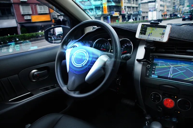
It introduced Automated Driving Zones, cloud-hosted software which allows automakers to choose their operational design domain (ODD), to "transparently decide where, when and under which operating conditions it is safe to activate the automated driving functionalities of their cars".
As well as allowing the setting of a geographic environment, it can also help operators set the conditions that must be present on the roadway.
ODDs can be unique to individual automakers, vehicle brands and types, as well as to each automated driving functionality across different levels of automation (from SAE Levels L2-L4).
Automated Driving Zones allows car manufacturers to create, edit and review an ODD either manually or automatically, via a web app and an API.
Here says the tech is being used in the "current development, validation and production of automated driving capabilities for two global automakers".
Giovanni Lanfranchi, chief product & technology officer at Here, says: “Location technology is both needed for defining the areas where automated driving is possible as well as for operating an automated vehicle safely within those boundaries.”
The manufacturer has also launched UniMap, automated mapping technology that the company says enables rapid creation of digital maps and location products.
It will be rolled out to "selected customers" this year, becoming fully available in 2024.
“Ever since we started out mapping California in the mid-1980s, we’ve been seeking to shrink the time it takes to detect a real-world change, reflect it in the map and get it into the hands of our customers," comments Lanfranchi.
Turnaround time will drop from months, he suggests. "With UniMap, we provide anytime access to a unified map that’s refreshed in hours, minutes or seconds. This is a big leap forward for anyone building applications that use location data.”
UniMap can use AI models to automate the processing of 500 million km of vehicle probe and sensor data every hour, to extract map features such as 2D and 3D positioning of road signs, to validate speed limits and to build missing road geometry.
It also conflates multiple types of data, ranging from vehicle cameras and Lidar to overhead imagery and IoT data.
Here has also launched Road Alerts, which brings together vehicle sensor data from millions of cars on the road with traffic incident data to provide real-time hazard warnings to drivers for optimal safety assistance.
Here says it will enhance the functionality of advanced driver-assistance systems (ADAS) for greater safety, thus helping drivers "build trust in the gradually increasing automation of driving".