
Bentley acquires pedestrian simulation software firm Legion

Bentley Systems has hit the acquisition trail, buying two digital companies.
October 16, 2018 Read time: 2 mins

The first is UK-based pedestrian simulation software company Legion. Infrastructure software provider Bentley says the acquisition will mean it can improve pedestrian circulation, throughput, and overall safety at the planning stage of the projects with which it is involved.

“Because pedestrian traffic and capacity are major concerns for infrastructure planning and operations, collaborative digital workflows for pedestrian simulation need to be prioritised during design,” explains Santanu Das, senior vice president of design engineering for Bentley.

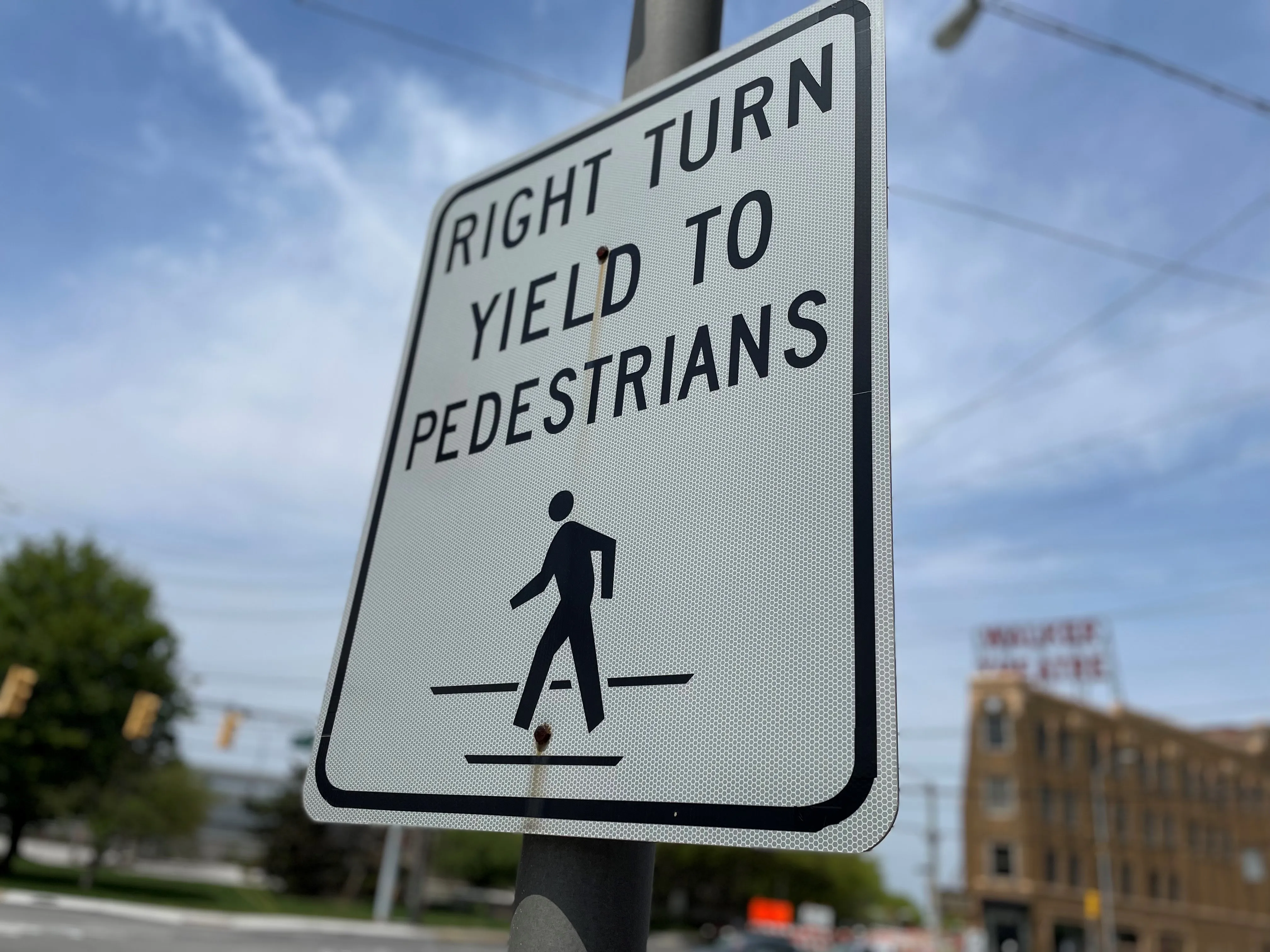
Legion’s pedestrian simulation application models the interactions of people with each other and with physical obstacles in public spaces, including the way they interact with vehicles at street level.

These can be used with Bentley’s OpenBuildings Designer to consider how pedestrian traffic is likely to behave. Legion founder Douglas Connor says: “Pedestrian flows should be considered fundamental design criteria for infrastructure assets.”

The second of Bentley’s acquisitions is Agency9, a Swedish firm which provides municipalities with city-scale digital twin cloud services for city planning and web-based 3D visualisation. Agency9 already uses the reality meshes created by Bentley’s ContextCapture reality modeling software.

The services dovetail with Bentley’s new iTwin cloud services, which the company says will enable OpenCities Planner to offer more detail to urban planners.

“Our many city users globally have been asking for the useful capabilities which Agency9 has successfully implemented throughout Sweden, to take further advantage of their reality modelling programmes,” says Phil Christensen, Bentley’s senior vice president, reality modelling.

Håkan Engman, CEO of Agency9, says that becoming part of Bentley means that “we can foresee the realisation of our users’ vision to advance from urban planning to improving cities’ asset performance”.

For more information on companies in this article

Related Content

  • Should it be end of the road for right-turns on red?
    April 10, 2024
    Banning right-hand turns after stopping for a red light is gaining momentum in the US. But the debate continues about whether it will result in fewer incidents between vehicles and alternative mobility users. David Arminas reports
  • Esri and Mobileye offer real-time blind-spot detection data
    November 16, 2017
    Geographic information system specialist Esri is to collaborate with advanced driver-assistance systems software provider Mobileye in a venture aimed at improving safety for road users in urban environments. This will see Esri’s mapping, analysis and visualisation integrated with Mobileye’s Shield+ product. Shield+ will stream road safety data retrieved from city fleets into Esri’s ArcGIS platform meaning incidents of pedestrians and cyclists being detected in blindspots can be viewed on the Mobileye
  • Monotch to bolster C-ITS in Finland
    June 18, 2021
    Nodeon collaboration and data exchange via V2X platforms benefits C-ITS community 
  • Outsourcing security weakness for Sweden’s driver and vehicle data
    October 24, 2017
    The security of driver and vehicle data hit the headlines this summer in Sweden and its authorities are still dealing with the fallout. David Crawford reports. epercussions from Sweden’s vehicle data outsourcing scandal continue to reverberate. Transportstyrelsen, the government’s transport agency, came under fire this summer for risking the personal security of over five million motorists by failing to implement full security checks on personnel in other countries to whom individual work packages could