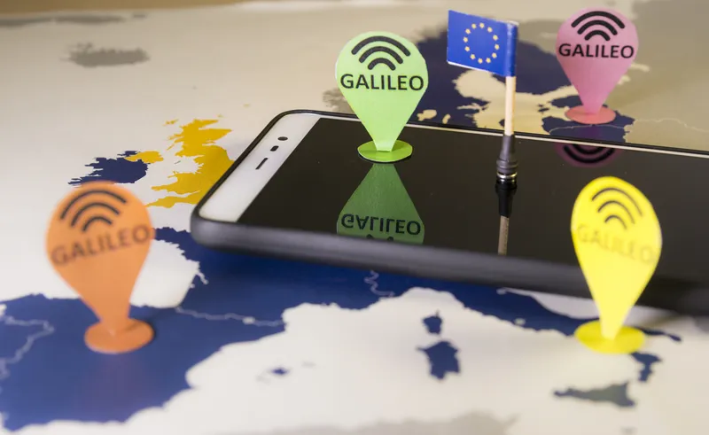
An app to speed up border crossings between European Union countries has been developed as part of the Galileo Green Lane initiative.
This is led by the European Global Navigation Satellite Systems (GNSS) Agency, provider of the European navigation system called Galileo.
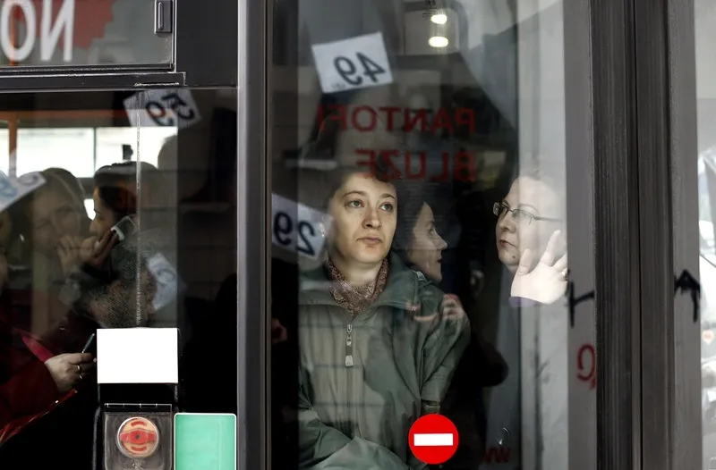
As a result of the Covid-19 pandemic, the European Commission requested EU member states to designate Trans-European Transport Network border points as “Green Lane” crossings - meaning that they should not take more than 15 minutes, including checks.
Galileo Green Lane supports the management of transit across borders and allows the quick passage of critical goods such as personal protective equipment, including Covid-resistant theatre gowns and masks.
It uses the positioning accuracy of the Galileo navigation system to locate incoming vehicles within a defined area surrounding critical borders.
Location data generated at the border can also be combined with a geo-tagged photo to provide additional information. The solution relies on European GNSS services and infrastructure and demonstrates the resourcefulness of Galileo in crisis situations.
European supply chains, retailers and logistics service providers can download an app giving real-time information on delays being experienced by trucks at European borders resulting from the Coronavirus pandemic
Companies helping to develop the app include shipment visibility provider Sixfold, application development specialists FoxCom and consulting firm SpaceTec Partners.
Through Galileo Green Lane, Europe's logistics industry gains access to a real-time overview of border traffic hold-ups, built on the foundation of Sixfold's Covid-19 map.
As part of its growing role within Europe's supply chains, Sixfold took the initiative in mid-March to provide supply chains, retailers and shippers with a free live border crossing map which is updated in real time.
The map enables shippers to better understand expected delays in receiving shipments as a result of the increasing number of border checks due to the Covid-19 crisis.
More than 500,000 logistics professionals in Europe have since used the map to better plan their transport routes to avoid lengthy delays at borders.
The Galileo Green Lane mobile app itself was developed by FoxCom, a Prague-based software architecture and development studio.
FoxCom and Sixfold were brought together by consultancy firm SpaceTec Partners which oversaw the coordination and operational management of the project.
"In these troubled times, the app should become a stalwart tool of supply chains," said Rainer Horn, managing partner of SpaceTec.
“We decided at the outset of the Covid-19 crisis to use our market-leading visibility platform to help all in Europe's supply-chains to better manage delays in crossing borders,” said Wolfgang Wörner, chief executive of Sixfold.