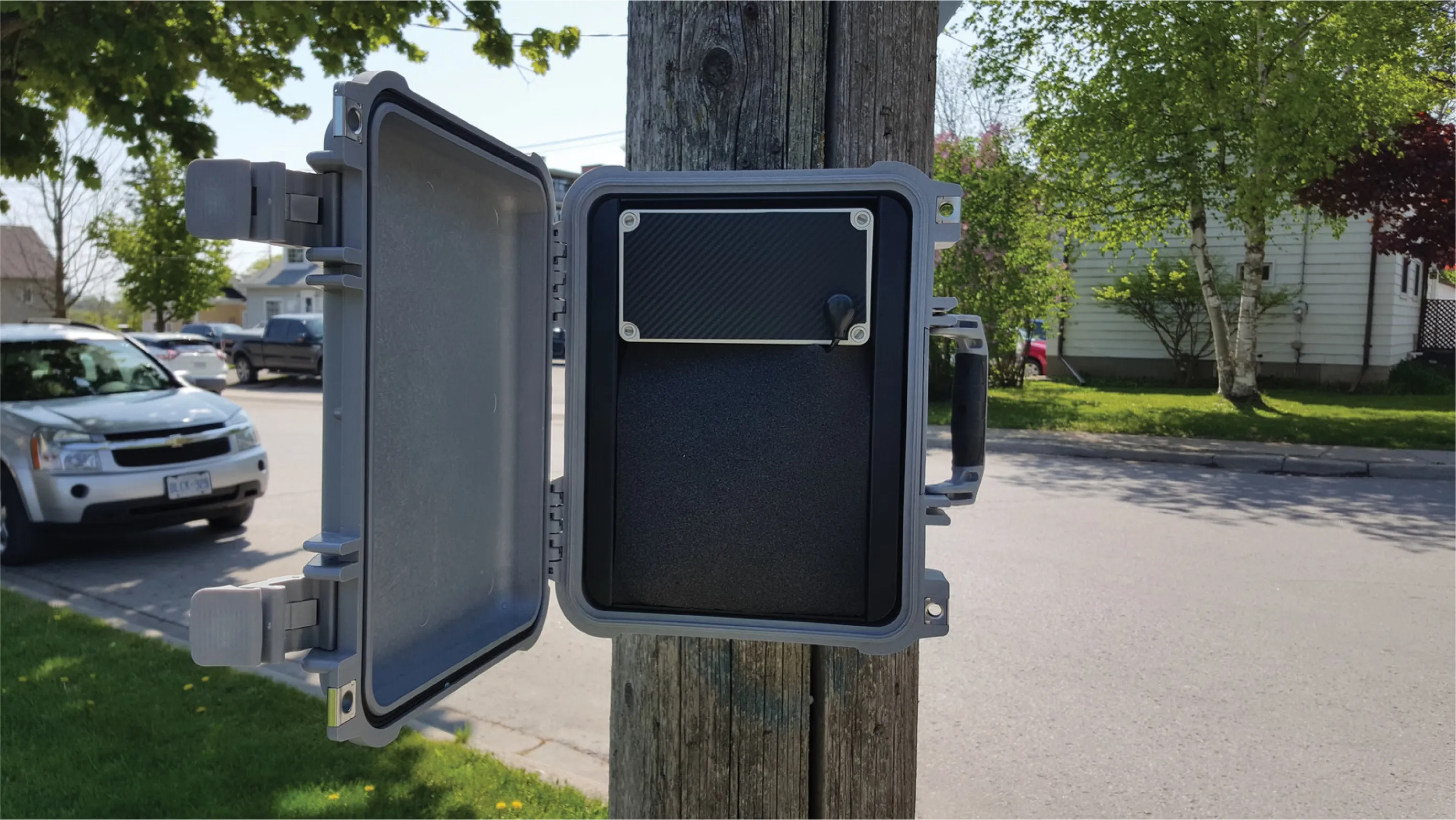
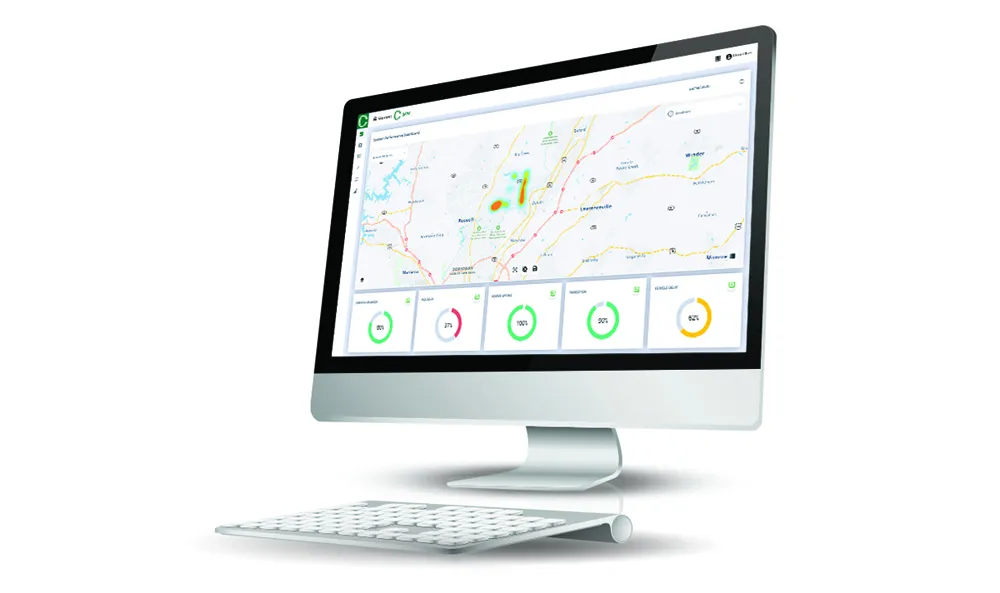
Trafficware’s latest version of its advanced traffic management system, ATMS.now 2.2, will support both of the widely popular Google Maps and Microsoft Bing Maps web-based mapping systems, says the company.
As Trafficware’s product development is driven by customer feedback, ATMS.now 2.2 provides more flexibility and convenience selecting mapping capabilities from an array of resources versus being limited to a single source. The latest release also includes enhanced analysis tools, the expanded measu
As Trafficware’s product development is driven by customer feedback, ATMS.now 2.2 provides more flexibility and convenience selecting mapping capabilities from an array of resources versus being limited to a single source. The latest release also includes enhanced analysis tools, the expanded measures of effectiveness (MOE) package that includes updated Purdue Coordination Diagrams, as well as ‘one-step’ installation for both client and server applications, expediting system implementation for traffic engineers and IT professionals.
With the integration of Google Maps, ATMS.now supports Google Maps, Bing Maps and
“A strong central management system is at the core of any traffic signal system,” explains Chief Technology Officer Darren Beyer. “That’s why we continue to invest heavily in innovative product development that positions ATMS.now as the most desirable central management system for traffic control.”