Trafficware upgrades ATMS software

Trafficware’s latest version of its advanced traffic management system, ATMS.now 2.2, will support both of the widely popular Google Maps and Microsoft Bing Maps web-based mapping systems, says the company. As Trafficware’s product development is driven by customer feedback, ATMS.now 2.2 provides more flexibility and convenience selecting mapping capabilities from an array of resources versus being limited to a single source. The latest release also includes enhanced analysis tools, the expanded measu
March 26, 2015 Read time: 2 mins
5642 Trafficware’s latest version of its advanced traffic management system, ATMS.now 2.2, will support both of the widely popular 1691 Google Maps and 2214 Microsoft Bing Maps web-based mapping systems, says the company.  

As Trafficware’s product development is driven by customer feedback, ATMS.now 2.2 provides more flexibility and convenience selecting mapping capabilities from an array of resources versus being limited to a single source.  The latest release also includes enhanced analysis tools, the expanded measures of effectiveness (MOE) package that includes updated Purdue Coordination Diagrams, as well as ‘one-step’ installation for both client and server applications, expediting system implementation for traffic engineers and IT professionals.  

With the integration of Google Maps, ATMS.now supports Google Maps, Bing Maps and 50 ESRI (GIS) mapping utilities.  ATMS.now customers that use Google Maps or Bing Maps also now have the ability to convert GIS congestion segments and display pattern, cycle, sequence, offset and other pertinent real time signal timing data on the web-based maps.  The additional functionality, along with other enhancements, is available to all ATMS.now users under Trafficware’s maintenance and support program.

“A strong central management system is at the core of any traffic signal system,” explains Chief Technology Officer Darren Beyer. “That’s why we continue to invest heavily in innovative product development that positions ATMS.now as the most desirable central management system for traffic control.”

For more information on companies in this article

Related Content

  • Bespoke ITS is helping to reduced collisions on America’s rural roads
    October 22, 2014
    David Crawford cherrypicks conference and award highlights Almost 30% of all US citizens live in rural areas or very small communities, and 34 of the 50 states exceed this level in their own populations, with the proportions rising as high as 85%. And although rural routes carry only 35% of all traffic, the accidents that occur on them account for some 54% of all US road traffic accident deaths.
  • Asking drivers what information they need: radical but effective
    March 19, 2014
    When Texas A&M Transportation Institute was asked to devise a temporary traveller information system for work zones, it started by asking drivers what they need. Robert Brydia explains the thinking, implementation and results. US Interstate 35 (I-35) runs roughly north–south originating in Laredo, Texas and ends 1,500 miles away in Duluth, Minnesota having passed through Oklahoma, Kansas, Missouri and Iowa. Within Texas the I-35 splits into I-35E and I-35W passing through Dallas and Fort Worth respectiv
  • Trafficware new wireless detection system
    April 22, 2013
    Visitors to the ITS America Annual Meeting have the opportunity to see a new wireless roadway detection system from Trafficware. Operating under a Massachusetts Institute of Technology (MIT) patent in an exclusive license agreement, the company’s engineers developed the Valence Pod, a wireless system that uses roadway sensors to detect the
  • Overture Maps releases its transportation dataset
    December 20, 2024
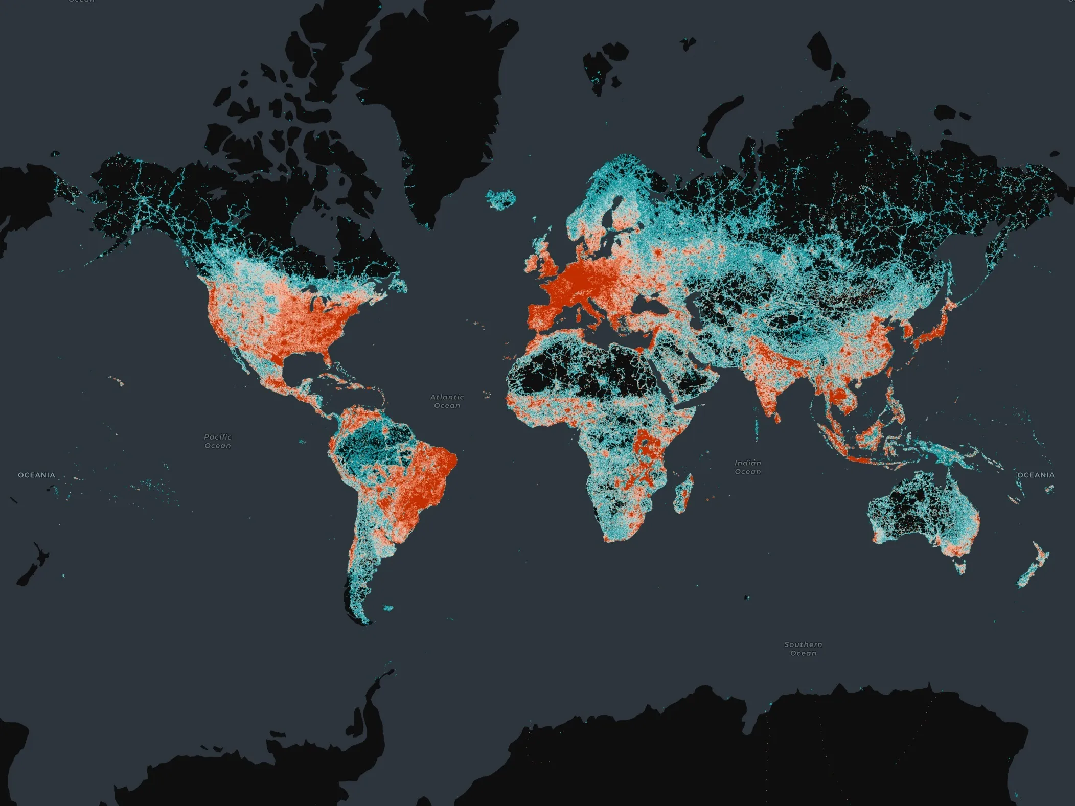
    Open-map dataset includes 86 million kilometres of roads worldwide