TfL upgrades transport planning tool

Transport for London (TfL) has upgraded WebCAT, its online planning tool for showing how well-connected a location is in terms of transport. It includes a range of new data to help the city’s planners design the housing and business developments of the future. As well as previously released information such as the levels of public transport by location and journey time, the latest version of WebCAT now includes heat maps which show users how well-connected an area is, not only by public transport but no
January 19, 2017 Read time: 2 mins
1466 Transport for London (TfL) has upgraded WebCAT, its online planning tool for showing how well-connected a location is in terms of transport. It includes a range of new data to help the city’s planners design the housing and business developments of the future.

As well as previously released information such as the levels of public transport by location and journey time, the latest version of WebCAT now includes heat maps which show users how well-connected an area is, not only by public transport but now also by cycling infrastructure.

Users can also determine travel times from any location in London, including the number of people, jobs, town centres, health services and schools within specified travel time bands.

New comparisons between different scenarios such as cycling and public transport on today’s transport network and that of the future are also available.

The upgraded tool, developed with digital creative agency Mando, now lets users see how many town centres, GP surgeries, accident and emergency departments and schools are reachable from a selected location. It has also been updated to include population and employment information, helping to show how many jobs can be reached from a selected location by public transport. By including this data, planners can quickly assess the viability of any new housing and shopping developments by showing how many people are within a short or long commute of the selected location.

Related Content

  • October 6, 2020
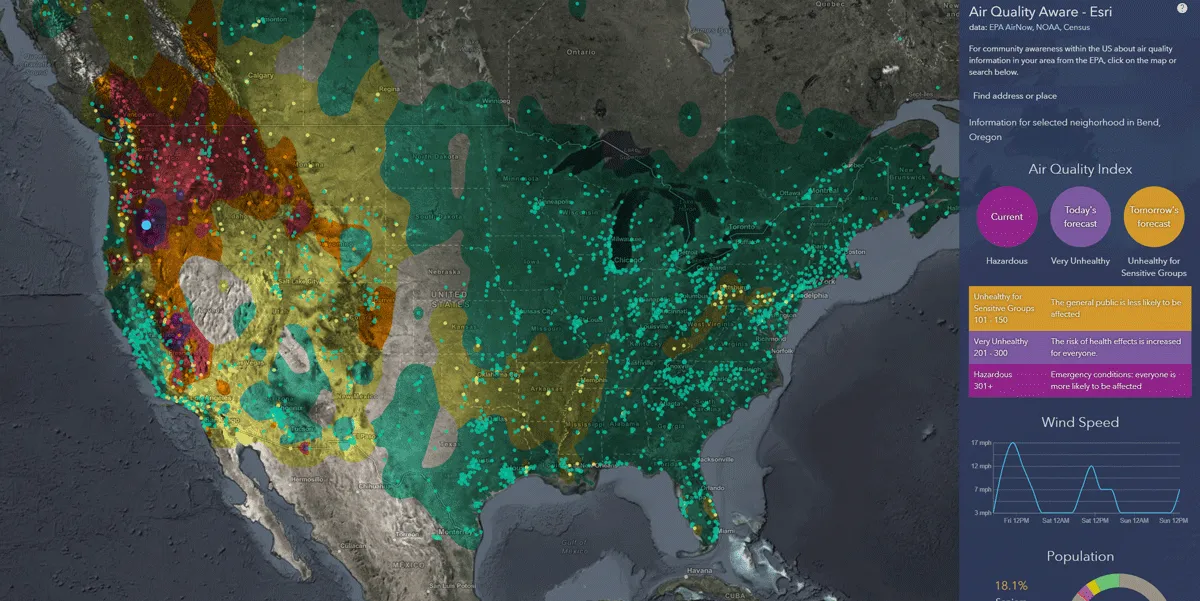
    Esri exposes US air pollution impact
    App uses data from AirNow programme, American Community Survey and NOAA wind forecast 
  • June 13, 2018
    Singapore plans changes to transit system
    Singapore has the third-highest population density in the world and the numbers are continuing to grow. The government knows that transit is vital: David Crawford investigates the city state’s Smart Nation strategy. Transport is the most important of the five domains identified as the pillars of Singapore's far-reaching Smart Nation strategy, launched in November 2014 by prime minister Lee Hsien Loong with the aim of reaching fulfilment by 2024. Roads account for 12% of the island republic's 719km2 land ar
  • October 22, 2018
    More openness - the simple answer to transport's data issues
    Public transit agencies create a lot of data – but using it constructively to solve transportation issues has been a problem. Ben Winokur and Luke Segars think they have the answer: greater openness. Today, more people are connected through smartphones than ever before - and they’re using them for more than texting and calling. People are searching for jobs on their devices, dating, shopping and even managing their finances. But Forbes reports that only a select few companies leverage all the technology at
  • July 20, 2018
    C/AV technology will be ‘life-altering revolution’
    Preparing for the challenges - and promises - of connected and automated vehicles and other emerging transportation technologies does not necessarily mean investing in actual hardware. Matthew Smith identifies eight key points that US transportation authorities need to look at. Transportation technology is moving rapidly. With the advent of connected and automated vehicle (C/AV) technology, the nation is on the verge of experiencing a major transportation revolution: a life-altering revolution akin to th