Topcon and Vodafone position themselves

New precise positioning service will be more accurate than individual GNSS, firms say
By Adam Hill September 12, 2022 Read time: 2 mins
Topcon offers cloud-based positioning corrections which are sent to vehicles (© Daniil Peshkov | Dreamstime.com)

Vodafone and Topcon Positioning Group are developing a precise positioning system that they say will be vital for mass adoption of Vehicle to Everything (V2X) services, and autonomous vehicles.

The service, called Vodafone GNSS Corrections, will locate vehicles and Internet of Things (IoT) devices "with a greater degree of accuracy than using only individual global navigation satellites systems (GNSS)", the firms add in a statement.

Location accuracy will be improved "from a few metres to just centimetres" with Topcon’s European network of thousands of GNSS reference stations, "especially when vehicles and devices are fitted with suitable antennas and receiver equipment".

GNSS needs to compensate for inaccuracies caused by satellite constellations, receiver hardware and atmospheric conditions.

Topcon offers cloud-based corrections - from its network of fixed reference stations that constantly receive GNSS data - which are then sent to vehicles and devices: trials of the service are due to begin this month with selected customers invited to join pilots in Germany, Spain and the UK.

It will be tested with a variety of devices connected to Vodafone’s global IoT network (150 million connections) and its European network which covers 12 countries. 

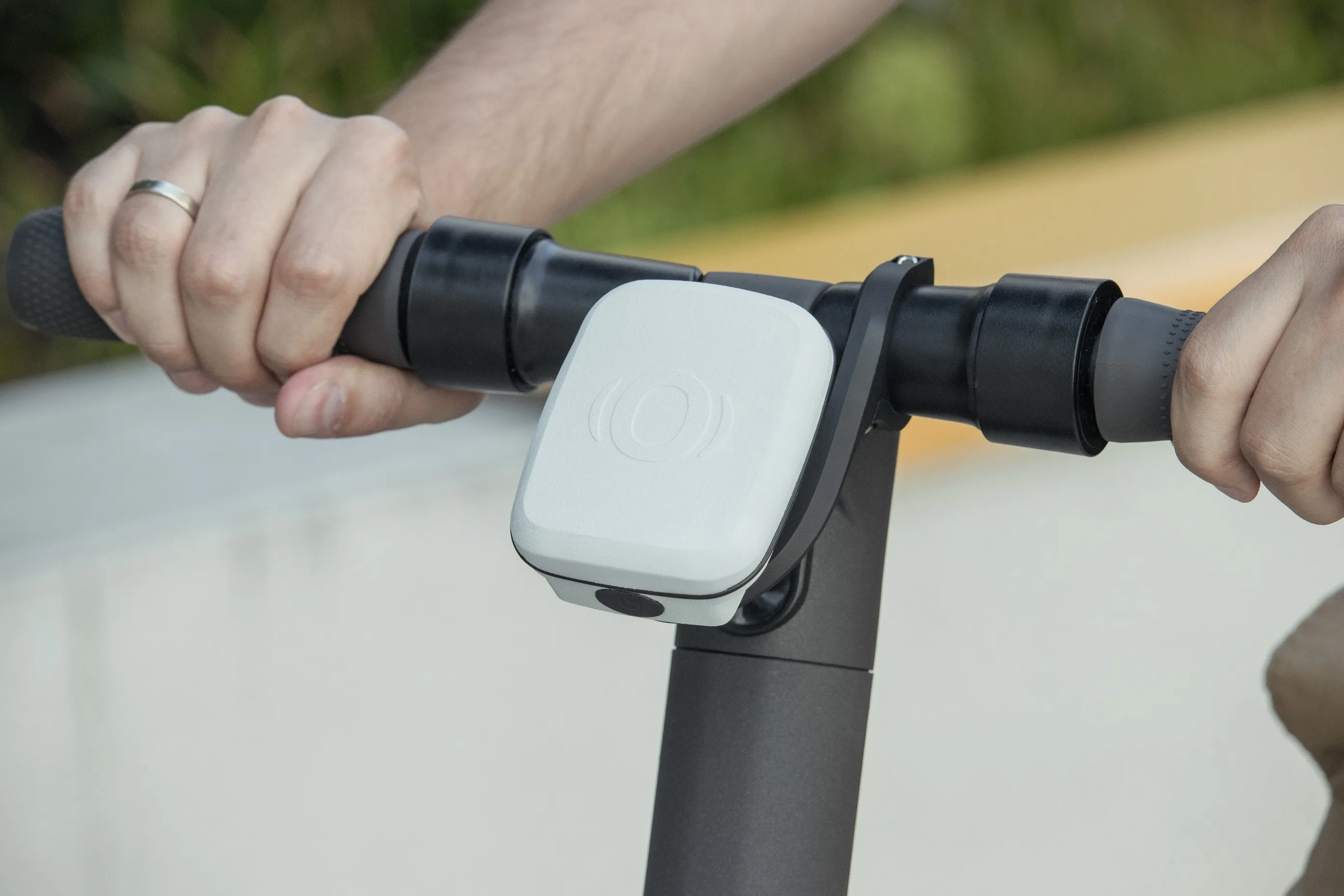
Among various potential applications, the companies say that e-bike riders could use Vodafone GNSS Corrections to provide details of their exact location and then alert other road users of their presence.

Vodafone says precise positioning is a complement to its Safer Transport for Europe Platform, unveiled in March, which allows entities to communicate with each other where no line of sight exists.

It has been successfully tested in Germany and the UK and will be made available via Vodafone Automotive and third-party apps later this year.

Related Content

  • June 6, 2014
    Euromed countries warm to Galileo’s services
    The EU is helping countries in North Africa and the Middle East utilise Galileo’s services. With its Galileo constellation rapidly taking shape, the European Union has opened lines of communication with countries in North Africa and the Middle East with a view to assisting their governments and businesses to utilise the satellite services that extend across the Mediterranean. The services available to countries are provided through the European Global Navigational Satellite System (E-GNSS), which includes a
  • March 30, 2020
    Autopilot highlights shape of Things
    Driverless vehicles require rich data to operate safely, and a European consortium is harnessing the Internet of Things to help.
  • July 31, 2023
    Commsignia's V2X OBU Lite set to protect vulnerable road users
    Lightweight Vehicle to Everything device designed to be fitted to micromobility vehicles
  • December 16, 2014
    Do satellites provide a heavenly view of tolling’s future?
    Satellite-based tolling opens up new options for authorities and can be integrated with DSRC systems as David Crawford discovers. As the proud custodian of the European Union (EU)’s longest road network covered by a single (truck) charging scheme – and the only one to include all major roads - Slovakia has become the continent’s poster-nation for the virtues of GNSS/CN (Global Navigation Satellite System/Cellular Network)-based tolling. It is also proved to be a very fast implementer. Speaking at the 2014 I