Vodafone and Topcon Positioning Group are developing a precise positioning system that they say will be vital for mass adoption of Vehicle to Everything (V2X) services, and autonomous vehicles.
The service, called Vodafone GNSS Corrections, will locate vehicles and Internet of Things (IoT) devices "with a greater degree of accuracy than using only individual global navigation satellites systems (GNSS)", the firms add in a statement.
Location accuracy will be improved "from a few metres to just centimetres" with Topcon’s European network of thousands of GNSS reference stations, "especially when vehicles and devices are fitted with suitable antennas and receiver equipment".
GNSS needs to compensate for inaccuracies caused by satellite constellations, receiver hardware and atmospheric conditions.
Topcon offers cloud-based corrections - from its network of fixed reference stations that constantly receive GNSS data - which are then sent to vehicles and devices: trials of the service are due to begin this month with selected customers invited to join pilots in Germany, Spain and the UK.
It will be tested with a variety of devices connected to Vodafone’s global IoT network (150 million connections) and its European network which covers 12 countries.
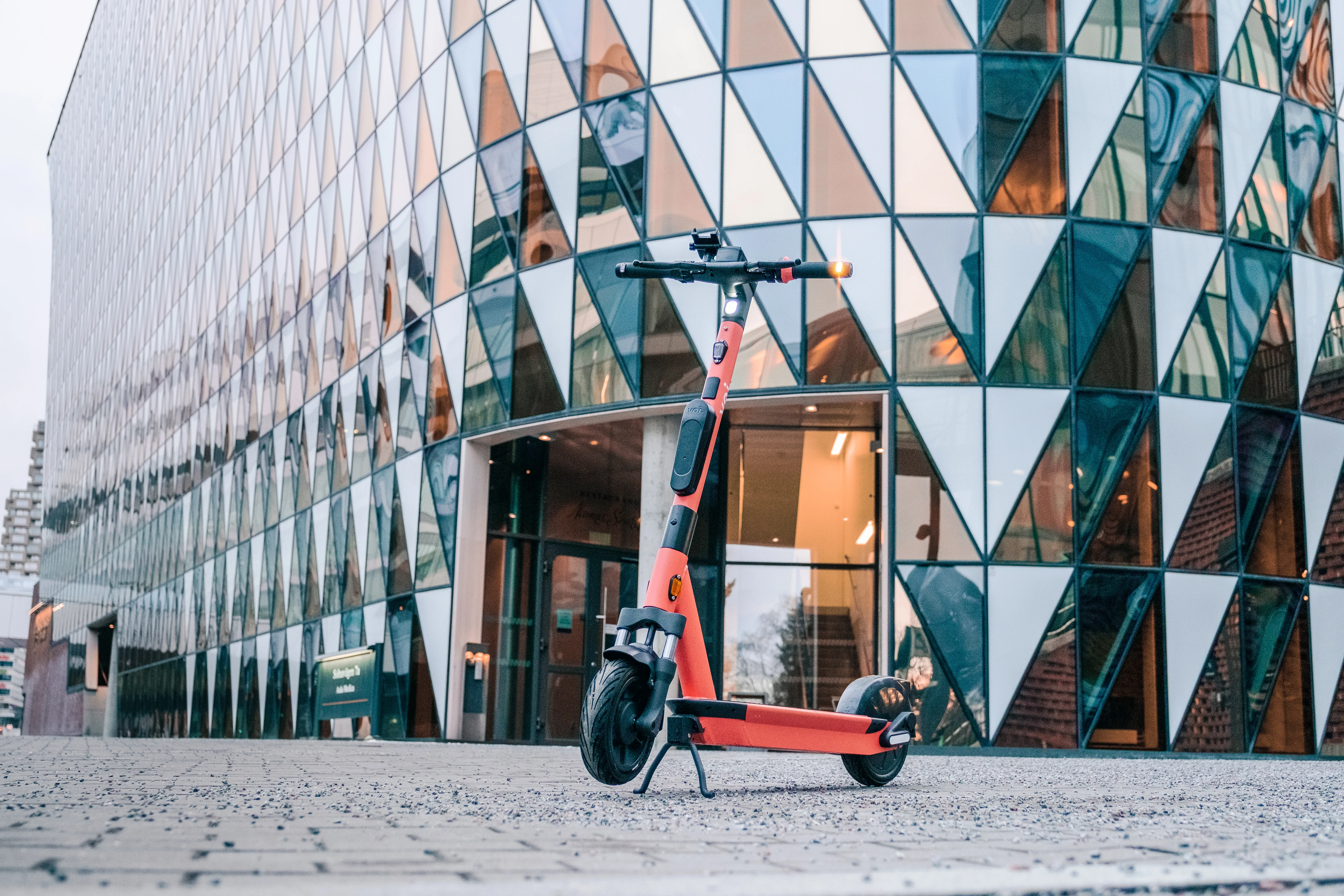
Among various potential applications, the companies say that e-bike riders could use Vodafone GNSS Corrections to provide details of their exact location and then alert other road users of their presence.
Vodafone says precise positioning is a complement to its Safer Transport for Europe Platform, unveiled in March, which allows entities to communicate with each other where no line of sight exists.
It has been successfully tested in Germany and the UK and will be made available via Vodafone Automotive and third-party apps later this year.


