Researchers get ahead with Forum8

By David Arminas September 17, 2020 Read time: 1 min
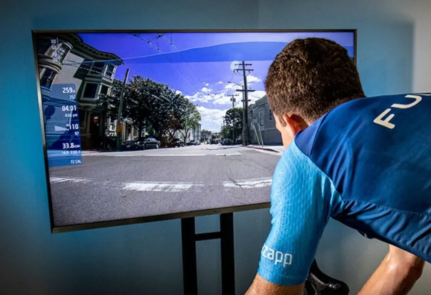
Software enables researchers to create and edit all road network elements

Using good old pedal power and 3D simulation software to create safer road designs for drivers and cyclists is bearing fruit in the US...

Related Content

  • January 31, 2012
    New version of Esri CityEngine
    Esri CityEngine 2011, the latest version of Esri's software for creating high-quality 3D content, is now available.
  • October 15, 2021
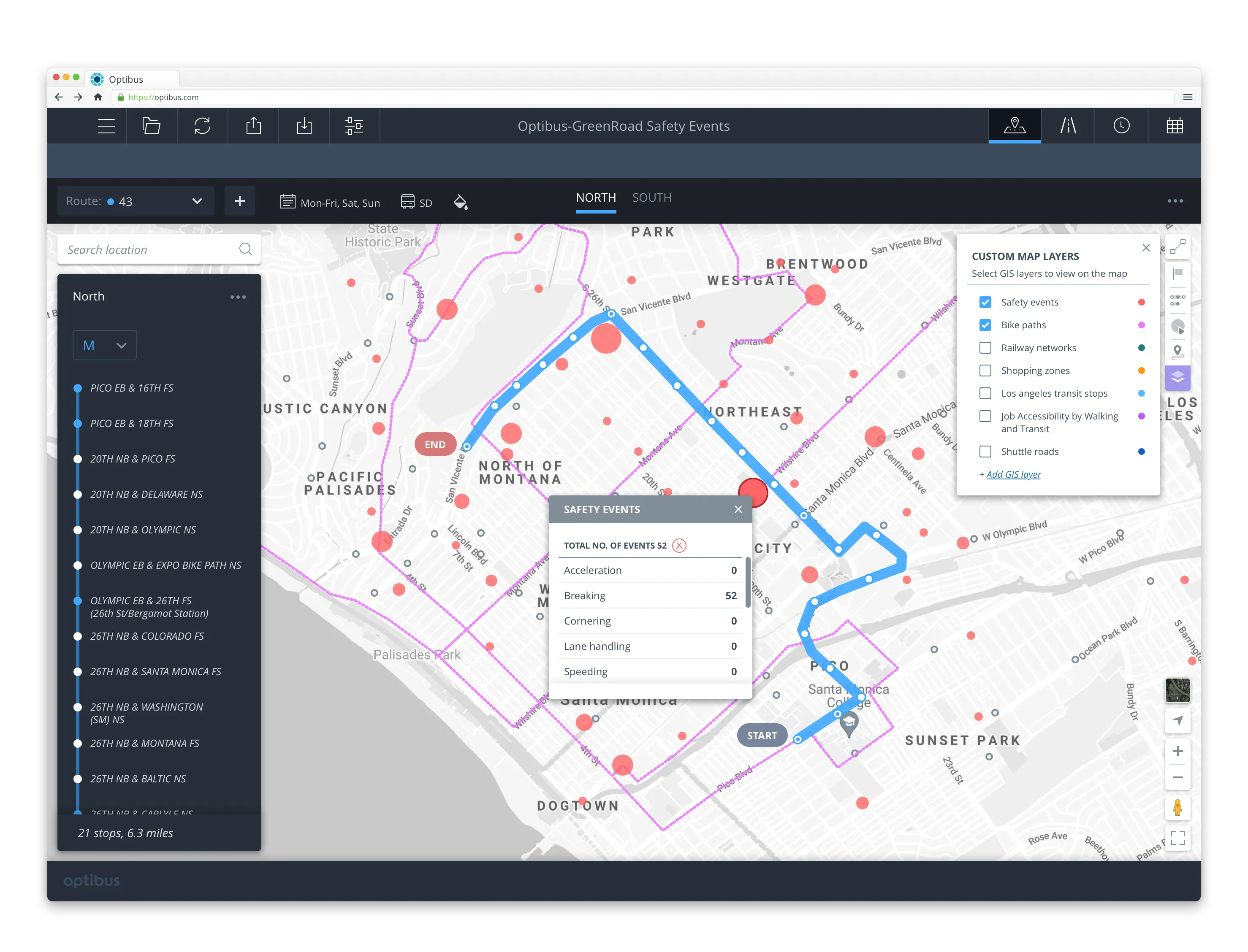
    Optibus zeroes in on road safety data 
    Planners can re-plan low-scoring routes to avoid hazard areas and increase safety
  • November 16, 2017
    Esri and Mobileye offer real-time blind-spot detection data
    Geographic information system specialist Esri is to collaborate with advanced driver-assistance systems software provider Mobileye in a venture aimed at improving safety for road users in urban environments. This will see Esri’s mapping, analysis and visualisation integrated with Mobileye’s Shield+ product. Shield+ will stream road safety data retrieved from city fleets into Esri’s ArcGIS platform meaning incidents of pedestrians and cyclists being detected in blindspots can be viewed on the Mobileye
  • May 15, 2017
    IRF presents road safety award to Korea Ministry of Land, Infrastructure and Transport
    The International Road Federation has awarded its annual road safety accolade, the Find a Way Award, to the Korea Ministry of Land, Infrastructure and Transport. The Find a Way Award was instituted as part of the United Nations Decade of Action for Road Safety 2011-2020 by IRF chairman Abdullah Al-Mogbel in recognition of the value of political leadership in driving road traffic injury reduction strategies. Korea has implemented a range of road safety measures, including the use of safety belts for all seat