Researchers get ahead with Forum8

By David Arminas September 17, 2020 Read time: 1 min
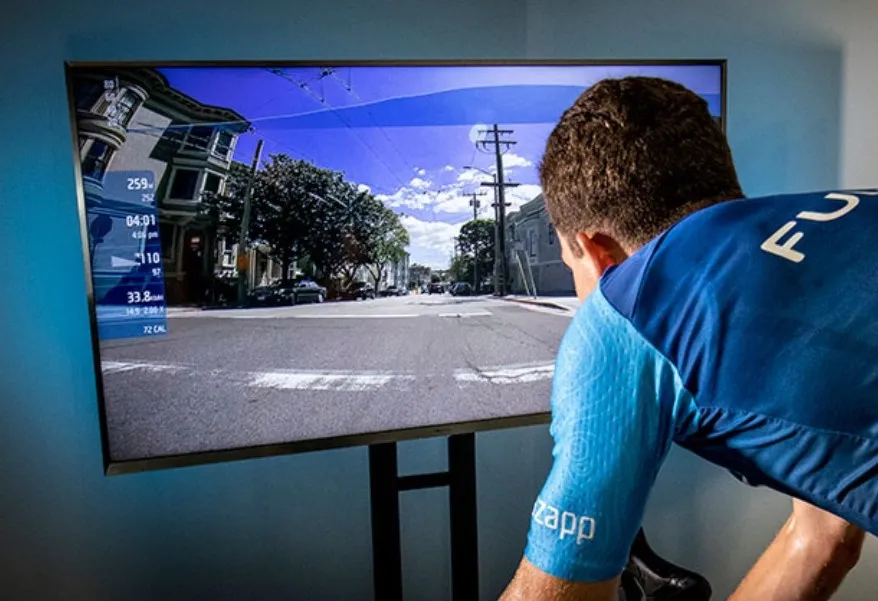
Software enables researchers to create and edit all road network elements

Using good old pedal power and 3D simulation software to create safer road designs for drivers and cyclists is bearing fruit in the US...

Related Content

  • April 19, 2012
    Blind spot detection should be mandatory by 2015, say engineers
    Collision-avoidance technologies which could help eliminate cyclist and pedestrian deaths caused by driver ‘blind-spots’ should be made mandatory for all UK buses and lorries by 2015, according to a new report published by the Institution of Mechanical Engineers. The ‘Intelligent Transport Intelligent Society’ report also calls for eCall to be integrated into all new road vehicles within the next two years. “The alarming rise in cyclist deaths on British roads needs to be addressed urgently,” says Philippa
  • September 19, 2022
    Bluecity tastes international success
    Bluecity is demonstrating its traffic monitoring system, having won contracts to install it in Stockholm, Helsinki and Dubai.
  • February 24, 2023
    Systra's latest simulation model puts cyclists and pedestrians on show
    Paramics Discovery 26 modelling software now allows active travel microsimulation
  • August 30, 2018
    Ordnance Survey to provide geospatial data for OmniCAV project, UK
    Ordnance Survey (OS) will provide geospatial data to support the OmnviCAV project’s ambition of accelerating the safe deployment of autonomous vehicles (AVs) on the UK’s roads. The £3.9m initiative’s aim is to develop an artificial intelligence-based simulation model for testing autonomous cars safety. The simulation model will feature a 32km circuit of Oxfordshire roads, covering rural, urban, main roads and intersections and will be used to create and run different test scenarios. OS’s role includ