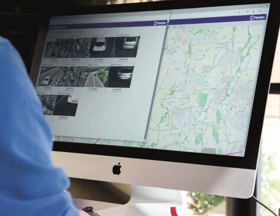
Number plate analysis tool from Tattile

Tattile has unveiled a software tool which it says enables users to aggregate and analyse data of all connected cameras in a given area.
March 18, 2020 Read time: 1 min


The Tattile Inspector is expected to store photos and number plate details by a given number of connected cameras in a database. The software collects and analyses the pictures and is also expected to generate a full transit analysis down to specific vehicles which can be identified by number plate, vehicle brand, colour and class. It can then send reports via SMS or email to enable authorities to take quick action when a vehicle is stolen or involved in a crime, the company adds. Through several plug-in options, the Inspector database search can be adjusted to include automatic incident detection alarms from Tattile Rigel, such as wrong-way driving or pedestrians in the road area. According to Tattile, users can perform a car profile through filtering based on physical parameters as well as matching a pre-loaded list of known faces, with faces detected on the pictures taken from drivers. Additionally, the software can be connected to the Italian national plate and transit database called SCNTT (Sistema Centralizzato Nazionale per Transiti e Targhe). Users can check number plates for valid insurance, revision data and province registration.

For more information on companies in this article

Related Content

  • Bangladesh - probably the most exciting infrastructure and ITS market in the world
    August 16, 2023
    The story of Bangladesh has been nothing short of a miracle, including ITS mega-projects and entrepreneurial flair, as contributing editor James Foster discovered.
  • Q-Free sees logic in video tolling
    September 15, 2014
    Q-Free’s Frank Kjelsli talks to Colin Sowman about why video tolling could be the boost to efficiency and interoperability the industry is seeking. Like it or not, the principal of one person, one tolling account is likely to become a reality: be that in America with the 2016 interoperability deadline or the European EETS requirement. Multi-tag readers are being introduced and alliances are being formed to meet legislative requirements but as the debate continues about which systems and protocols to adopt,
  • LiDAR sets its sights on future problems
    February 23, 2017
    AAdvances in LiDAR are helping transport authorities improve services and identify potential problem areas, as geospatial technology expert Dr Neil Slatcher explains. The effects of climate change on the transport infrastructure have long been a cause of concern within the transportation sector - and not only on the structures themselves but also on the surrounding areas. This year, those concerns have become reality with landslides, structural collapses and surfacing issues impacting services across the wo
  • Substantial savings from smarter street lighting
    February 25, 2015
    As authorities strive to reduce expenditure and carbon emissions, Colin Sowman looks at some of the smart ways of managing street lighting while containing costs and maintaining safety. Street lighting can account for 40% of an authority’s energy consumption. So, faced with the need to reduce outgoings, some authorities are looking for smart ways of managing street lighting or even turning off swathes of street lights in the small hours. Back in 2008 the E-street Initiative report concluded that authorities