ISS releases traffic data radar

Image Sensing Systems (ISS) has unveiled a radar which it says provides drivers and transportation planners with traffic data about road conditions.
By Ben Spencer March 5, 2020 Read time: 1 min
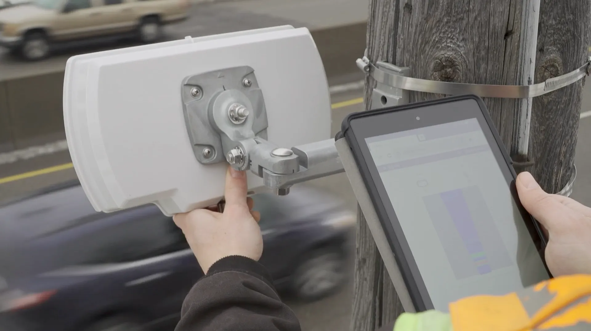
ISS radar provides traffic data about road conditions (Source: ISS)

Seth Anderson, radar product manager at ISS, says: “Transportation professionals around the world make important decisions every day that impact the effectiveness of our complex, multi-modal transportations systems. With RTMS Echo, transportation professionals can be confident in the data-driven decisions they are making today, and into the future.”

ISS says the Internet of Things-ready device comes with built-in aiming guidance for installation, auto configuration of the sensor and wireless management via a smart device. The per-vehicle data accuracy of RTMS Echo can be formatted to deliver insights needed to meet agency objectives, the company adds. 


For more information on companies in this article

Related Content

  • Navigation mapping focuses on more detail, greater accuracy
    March 16, 2012
    Navteq’s business strategy is focusing on more more detail, greater accuracy and added value. Location data provider Navteq has done much to enhance its service offer in recent months, across consumer, commercial and government markets worldwide, and the company reports more to come. Interior destination maps, the most recent addition to Navteq’s pedestrian navigation portfolio, are now being considered for complex transport interchanges to give guidance to transferring passengers, particularly those with m
  • Swarco McCain showcases traffic management systems
    April 26, 2023
    Swarco McCain makes its ITS America Conference & Expo debut under the all-encompassing One Swarco umbrella.
  • Satellite based goods vehicle tracking comes a step closer
    March 15, 2012
    A project aimed at proving the viability of satellite-based goods tracking in Europe has come to a close – establishing everything necessary for commercial services to flourish. A landmark stage was reached in tracking of goods across Europe in December last year, with conclusion of the Scutum project – ‘Securing the EU GNSS adoption in transport of dangerous materials’. This has validated the accuracy and reliability of the European Geostationary Navigation Overlay Service (EGNOS) for goods tracking and se
  • Q-Free calls on traffic signal companies to stop ‘stifling innovation’
    November 15, 2019
    Q-Free is challenging all traffic signal companies to release their management information bases (MIB) to speed up innovation and reduce agency costs.