ISS releases traffic data radar

Image Sensing Systems (ISS) has unveiled a radar which it says provides drivers and transportation planners with traffic data about road conditions.
By Ben Spencer March 5, 2020 Read time: 1 min
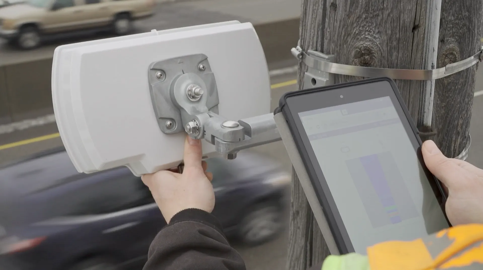
ISS radar provides traffic data about road conditions (Source: ISS)

Seth Anderson, radar product manager at ISS, says: “Transportation professionals around the world make important decisions every day that impact the effectiveness of our complex, multi-modal transportations systems. With RTMS Echo, transportation professionals can be confident in the data-driven decisions they are making today, and into the future.”

ISS says the Internet of Things-ready device comes with built-in aiming guidance for installation, auto configuration of the sensor and wireless management via a smart device. The per-vehicle data accuracy of RTMS Echo can be formatted to deliver insights needed to meet agency objectives, the company adds. 


For more information on companies in this article

Related Content

  • VDOT chooses StreetLight Data for on-demand traffic intelligence
    January 22, 2018
    The Virginia Department of Transportation (VDOT) has selected StreetLight Data (SLD) to provide on-demand traffic and transportation intelligence. It aims to enable local and state planning agencies to transform Big Data from their mobile devices into useful mobility metrics via its regional subscription to SLD’s Insight platform. The service also offers unlimited analyses of real-world travel patterns in the state and is available for designated employees and engineering firms.
  • Wavetronix radar-based traffic sensor cuts costs
    May 30, 2013
    While initial cost of radar based detection may be higher than that traditional loops, lower maintenance costs more than balance the books. Following successful field tests, the US city of Greenville, North Carolina, has recently agreed a new policy of phasing in Wavetronix traffic sensor technology’s radar-based SmartSensor Matrix system across its signalised traffic intersections. City traffic engineer Rik DiCesare expects the incremental implementation to deliver benefits to both the city’s taxpayers an
  • Heavy weather: how ITS can mitigate climate change effects
    August 22, 2023
    Countries, regions and cities all over the world are seeing unprecedented extreme weather events causing destruction in different ways: from heat and wildfires to snow and floods and much else in between. Jon Tarleton of Baron Weather explains how the ITS industry can help the transportation network to remain efficient as the climate changes
  • New name offers new solutions
    November 26, 2013
    Pete Goldin examines Nokia’s rationale for combining its location services, digital mapping and other capabilities under the HERE brand. While it has divested itself of its mobile phone business to Microsoft, Nokia has kept hold of its HERE business unit and brand which incorporates the company’s location services with digital mapping and other capabilities. The creation of HERE is much more than rebranding as its services are heading off the map and into the cloud. “HERE offers the first location cloud