ISS releases traffic data radar

Image Sensing Systems (ISS) has unveiled a radar which it says provides drivers and transportation planners with traffic data about road conditions.
By Ben Spencer March 5, 2020 Read time: 1 min
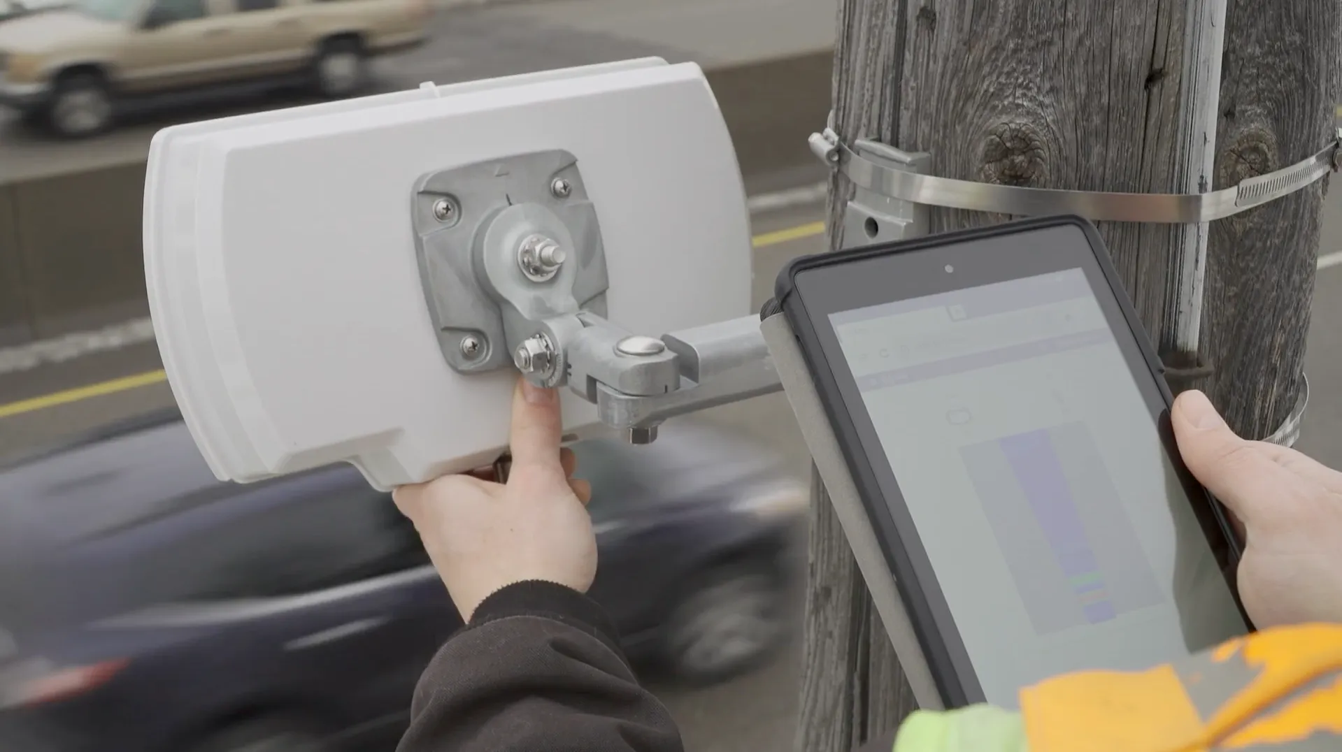
ISS radar provides traffic data about road conditions (Source: ISS)

Seth Anderson, radar product manager at ISS, says: “Transportation professionals around the world make important decisions every day that impact the effectiveness of our complex, multi-modal transportations systems. With RTMS Echo, transportation professionals can be confident in the data-driven decisions they are making today, and into the future.”

ISS says the Internet of Things-ready device comes with built-in aiming guidance for installation, auto configuration of the sensor and wireless management via a smart device. The per-vehicle data accuracy of RTMS Echo can be formatted to deliver insights needed to meet agency objectives, the company adds. 


For more information on companies in this article

Related Content

  • Siemens offers Stamford a ‘bird’s eye view’
    April 29, 2019
    Stamford, Connecticut is a vibrant, diverse community overlooking the Long Island Sound, within commuting distance of New York City. Stamford hosts the largest financial district in the greater New York metro area outside of Manhattan and is home to a high concentration of large corporations and corporate HQs. With a population of 130,000, Stamford is Connecticut’s third largest city and the fastest-growing municipality in the state. Like many US cities, Stamford had previously relied on an antiquated traf
  • Embedded connectivity delivers real time travel information
    February 3, 2012
    Ton Brand describes the GSM Association's Embedded mTelematics programme. As the world's roads become increasingly crowded, consumers and businesses are demanding better real-time information to help them both avoid traffic congestion and make smarter use of public transport. Embedding mobile connectivity directly into vehicles can enable drivers and passengers to see live traffic flows in their localities, as well as the expected arrival time of the next bus, ferry or tram
  • ITS World Congress 2025: home runs and deep dives on Tech Tours
    July 16, 2025
    There's plenty to see beyond the conference and exhibition at #ITSAtlanta2025
  • Urban utility
    July 24, 2012
    Steve Lane, Commercial Director at Triteq, talks about the successful deployment of ZigBee in Barcelona where a low-cost wireless metropolitan network for location and citizen services was established. The project, he says, demonstrates ZigBee's effectiveness as an urban communications system solution ZigBee is based on the IEEE radio frequency standard 802.15.4 - 2006 for Wireless Personal Area Networks (WPAN), which provides a license-free radio frequency for a flexible, robust private wireless network. Z