ISS releases traffic data radar

Image Sensing Systems (ISS) has unveiled a radar which it says provides drivers and transportation planners with traffic data about road conditions.
By Ben Spencer March 5, 2020 Read time: 1 min
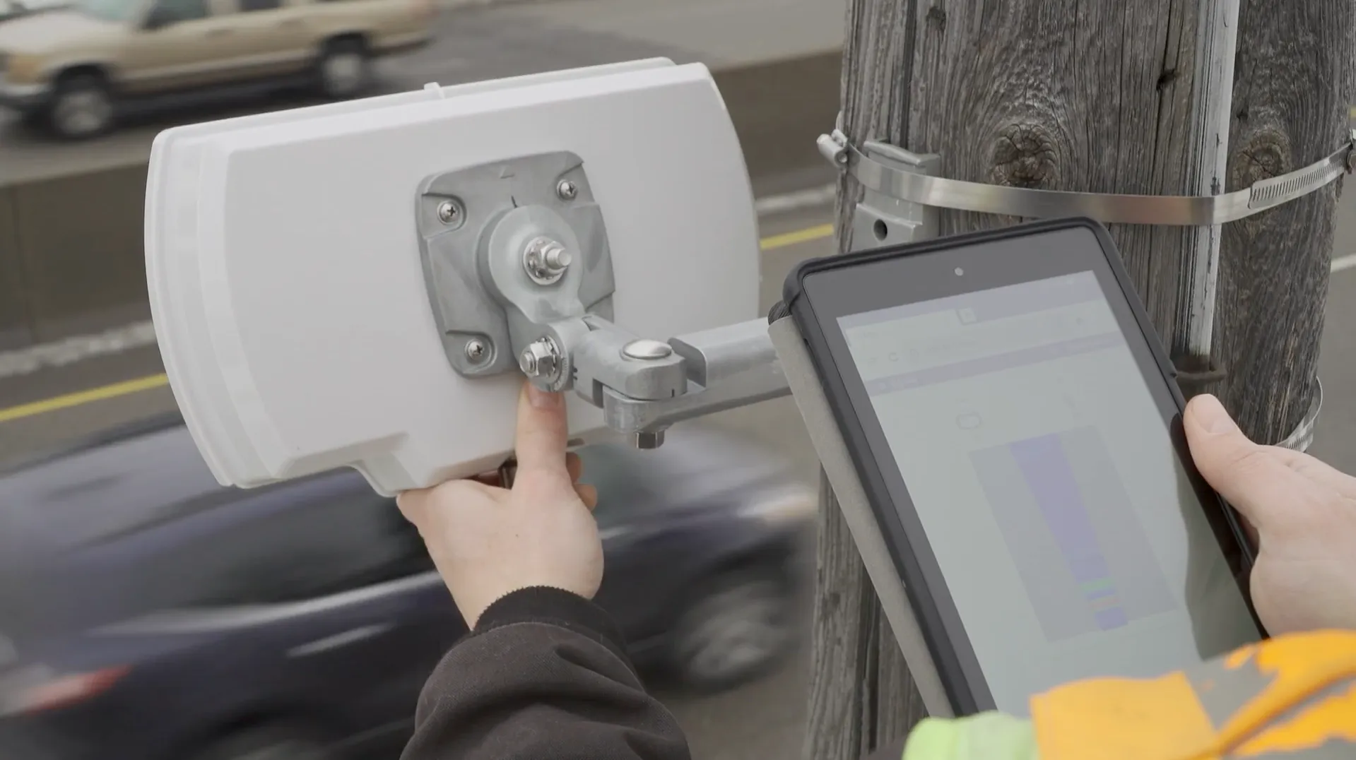
ISS radar provides traffic data about road conditions (Source: ISS)

Seth Anderson, radar product manager at ISS, says: “Transportation professionals around the world make important decisions every day that impact the effectiveness of our complex, multi-modal transportations systems. With RTMS Echo, transportation professionals can be confident in the data-driven decisions they are making today, and into the future.”

ISS says the Internet of Things-ready device comes with built-in aiming guidance for installation, auto configuration of the sensor and wireless management via a smart device. The per-vehicle data accuracy of RTMS Echo can be formatted to deliver insights needed to meet agency objectives, the company adds. 


For more information on companies in this article

Related Content

  • IT security? Get your head in the cloud
    January 23, 2020
    Cloud-based operations have been around for a decade or so - and Andy Souders of All Traffic Solutions suggests they are increasingly viable solutions for the transportation sector
  • NOCoE delivers data for diligent DOTs
    April 29, 2015
    David Crawford talks to Dennis Motiani about the role of the new National Operations Centre of Excellence. Consolidating the collective experience of the US transportation system’s management and operations (TSM&O) community, streamlining its information gathering, while cutting research times and costs are the key drivers behind the country’s new National Operations Centre of Excellence (NOCoE). Launched in January at the annual meeting of the Transportation Research Board (TRB), this sets out to be a sin
  • Snapper and Enrouteq team up on transit data
    March 3, 2025
    Mosaiq Transit Intelligence Suite is now combined with GTFS real-time data
  • Developing a wireless cooperative traffic management system
    March 14, 2012
    The use by MDOT of 90-foot concrete poles on which to mount CCTV equipment reduces the number of poles needed to monitor a given area and incidences of occlusion