
Cellint counts on real-time cellular data

Tests comparing virtual counting - using cellular data - with physical sensors showed less than 6% difference
By David Arminas June 24, 2020 Read time: 2 mins
Virtual and counting: Cellint improves traffic volume data (© Grapestock | Dreamstime.com)

Cellint reports that TrafficSense, its solution for real-time virtual counting stations, was tested successfully and is now available across the US.

Tests comparing real-time vehicle volume measured by the virtual counting stations to those measurements from physical sensors showed less than 6% absolute average difference.

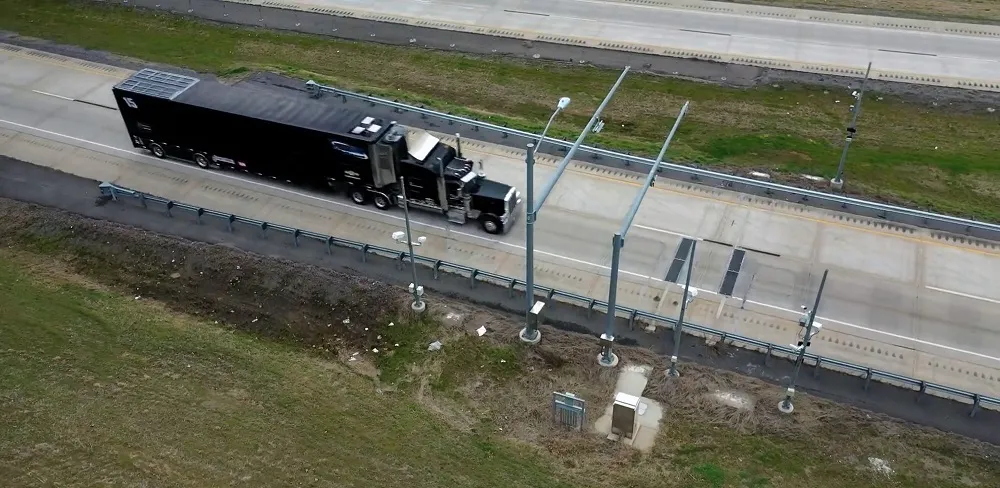
These stations rely upon anonymous data from the cellular network and monitor the entire network population at switching centres.

All phones on the network are monitored anonymously, continuously, regardless of whether the phone has an active GPS or not and without any dependency on sporadic locations from mobile applications.

Celllint says it is the only such solution that does not require field installation and maintenance. Data can be provided to road operators and planners through live dashboard and XML feeds, as well as through CSV files.

Historical information can be generated from archived network data. Daily, weekly, monthly and annual trends can be viewed and analysed.

“Our virtual counting stations can help transportation agencies and cities monitor frequent volume changes at a reasonable cost,” said Ofer Avni, chief executive of Cellint.

“This solution is especially helpful due to the latest changes in traffic patterns caused by the pandemic. We can’t rely anymore on average annual daily measurements once every couple of years.”

Related Content

  • December 19, 2022
    Traffic cameras embrace AI
    Artificial intelligence is spreading into many aspects of mobility – but what about traffic management and enforcement cameras? ITS International invited a few vision experts to ponder a couple of leading questions…
  • January 27, 2012
    GPS delivers accurate journey time data for UTC
    A new solution developed as a consequence of the UK's Freeflow project fuses GPS and UTC loop data to give more accurate predictions of journey times, benefting network managers and travellers alike. By Matt Cowley and Gareth Jones, Trakm8 and John Polak and Rajesh Krishnan, Imperial College London
  • December 5, 2012
    Reducing congestion with Tomtom's historical traffic data
    Historical traffic data provided by TomTom is being used by the local government in Spain’s Basque region to reduce road congestion at less cost. Old habits die hard. Photos from as far back as the 1930s show people counting cars by the roadside in order to provide congestion data to those running road networks. Today, such techniques are still used, albeit augmented by a range of automation technologies such as inductive loops, infra-red sensors and number plate recognition. Even with these advances, howe
  • December 28, 2021
    Artificial Intelligence applications for commercial vehicle operations
    The combination of machine learning, deep neural networks and computer vision provides opportunities to address in new ways an increasing range of functions that are a part of commercial vehicle operations. Here, IRD’s Rish Malhotra details how.