Cellint counts on real-time cellular data

Tests comparing virtual counting - using cellular data - with physical sensors showed less than 6% difference
By David Arminas June 24, 2020 Read time: 2 mins
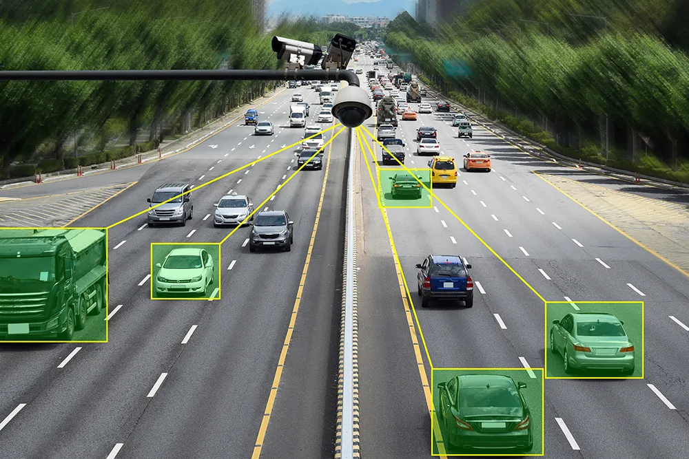
Virtual and counting: Cellint improves traffic volume data (© Grapestock | Dreamstime.com)

Cellint reports that TrafficSense, its solution for real-time virtual counting stations, was tested successfully and is now available across the US.

Tests comparing real-time vehicle volume measured by the virtual counting stations to those measurements from physical sensors showed less than 6% absolute average difference.

These stations rely upon anonymous data from the cellular network and monitor the entire network population at switching centres.

All phones on the network are monitored anonymously, continuously, regardless of whether the phone has an active GPS or not and without any dependency on sporadic locations from mobile applications.

Celllint says it is the only such solution that does not require field installation and maintenance. Data can be provided to road operators and planners through live dashboard and XML feeds, as well as through CSV files.

Historical information can be generated from archived network data. Daily, weekly, monthly and annual trends can be viewed and analysed.

“Our virtual counting stations can help transportation agencies and cities monitor frequent volume changes at a reasonable cost,” said Ofer Avni, chief executive of Cellint.

“This solution is especially helpful due to the latest changes in traffic patterns caused by the pandemic. We can’t rely anymore on average annual daily measurements once every couple of years.”

Related Content

  • January 4, 2022
    Teledyne Flir: here’s how to find the right ITS camera
    From lighting to weather, there are so many elements which need to be taken into account when choosing a camera for ITS operations. Riana Sartori from Teledyne Flir offers a buyer’s guide
  • May 8, 2015
    Data holds the key to combating VRU casualties
    Accident analysis software can help authorities identify common causes and make best use of their budgets, as Will Baron explains. More than 1.2 million people die on the world’s roads each year and according to the World Health Organisation, half of these are pedestrians and vulnerable road users (those whose vehicle does not have a protective shell, such as motorcyclists and cyclists). While much has been done to improve road safety and cut the number of deaths and serious injuries on our roads, a great d
  • July 17, 2012
    Cloud computing technology benefits GIS
    Geographic Information Systems are a relatively late adopter of cloud computing,but the benefits of host services for geospatial data and analysis are becoming clear. Jason Barnes reports Both the concept and the reality of cloud computing have been around for some time. More and more industry sectors are entrusting external service providers with the provision of their computing services via the internet. However, the Geographic Information System (GIS) industry has been slow to embrace the trend. This is
  • June 6, 2014
    New traffic light controller is ‘game changer’ says Siemens
    Siemens’ introduced its new Sitraffic sX controller as a ‘game changer’, Colin Sowman finds out why.