
Baron adds Threat Net custom alerts

Baron has added customisable alerts to its Threat Net suite of products so users can receive text or email notifications on location-based weather condition and forecast criteria.
By Ben Spencer March 18, 2020 Read time: 1 min
Baron adds customisable alerts to Threat Net suite (John Sirlin | Dreamstime.com)

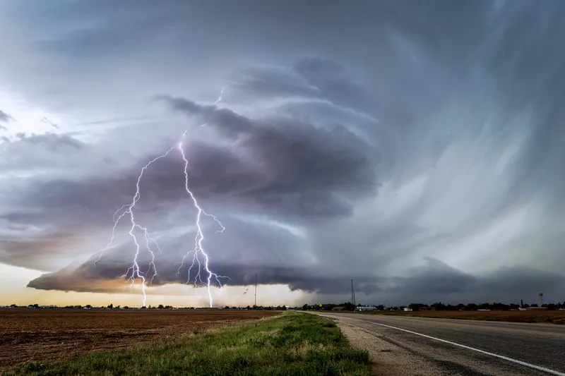
The company says Baron Threat Net provides data and visual monitoring on forecasted road conditions and hazards as well as offering severe weather monitoring of damaging winds, hail and flooding. Users can track a storm up to an hour in advance while also investigating all weather threats on a single screen, Baron adds.

 Users can set an alert by selecting a weather parameter to monitor and choosing the condition or forecast criteria to trigger the alert once conditions are met.

Specific location-based alerts can be set for forecast air quality index, temperatures, humidity and wind speed.

Users can also access real-time weather monitoring via Baron’s app.


For more information on companies in this article

Related Content

  • Lufft’s MARWIS moves weather
    September 22, 2014
    A mobile road weather sensor is providing authorities with new options for monitoring road conditions and winter maintenance operations. Road and traffic engineers know the vulnerable points in their network – cold spots where ice forms first, high-banked roads where snow accumulates, fog pockets… Traditionally, most authorities will position weather stations at these points to detect and monitor road conditions during bad weather events.
  • TomTom offers hybrid navigation solution 
    March 26, 2021
    Drivers can interact with TomTom’s navigation via Amazon Alexa
  • Versilis & Haas to offer Safety Cloud alerts
    May 4, 2021
    Versilis safety gates are now integrated with Haas Alert’s C-V2X digital alert solution
  • Google updates maps to display natural disasters
    July 2, 2019
    Google is improving its SOS alerts by adding visual information about natural disasters and a navigation system on Google Maps. Google says the upgrade will extend the capabilities of the SOS alerts to provide crisis information via relevant news stories and Twitter updates from local authorities to include detailed visualisations about hurricanes, earthquakes and floods. In the days leading up to a hurricane, users will receive a crisis notification card on Google Maps that appears near impacted areas.