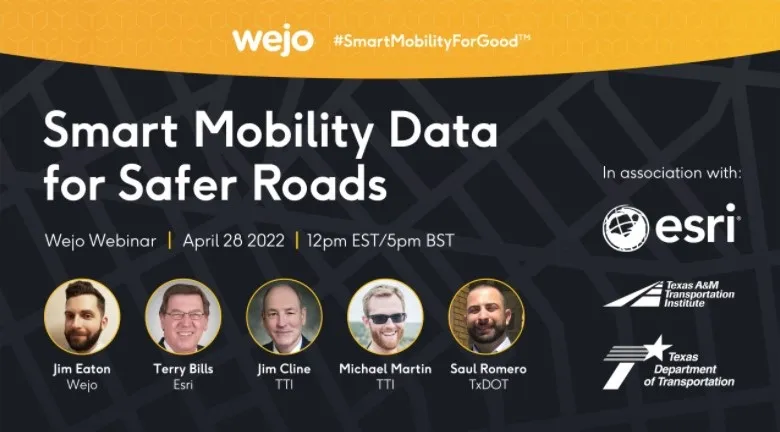
Webinar: how smart mobility data leads to safer roads

Free webinar on 28 April features Wejo, Esri, TxDoT & Texas A&M Transportation Institute
By Adam Hill April 19, 2022 Read time: 2 mins
The free webinar takes place on 28 April at midday EST / 5pm BST

The use of smart mobility data in improving road safety is the subject of a new webinar from Wejo.

Click here to register.

The free event takes place on 28 April at midday EST / 5pm BST with Texas Department of Transportation (TxDoT), Texas A&M Transportation Institute and Esri.

It will show how data enables transportation departments to improve roadway safety and access, and how to efficiently implement data-driven road safety initiatives to curb crashes.

L‍ast year, TxDoT enlisted Texas A&M Transportation Institute to help solve the problem of heightened public safety risks on roads within the Permian Basin.

Speakers from all four organisations will explain how they worked together to examine trends on how the region’s roads and driveways located near oil/gas leases were being used and to recommend improvements.

To find a solution, Texas A&M Transportation Institute uses innovative technologies, such as Wejo's smart mobility insights via the Esri ArcGIS Online platform in its research.  

With Wejo's data, Texas A&M Transportation Institute is able to provide data-driven recommendations to TxDoT, including where to install new driveways or retrofit existing ones along the corridors in the Permian Basin region to improve accessibility, mobility and public safety.  

Content produced in association with Wejo

For more information on companies in this article

Related Content

  • WEBINAR: On The Road to Resilience - Keep Your City Moving
    Aug 12, 2020

    In these unprecedented times, it is paramount that cities are resilient and can adapt their infrastructure to accommodate changes in traveller behaviour.

    Many people are now opting for cars, bicycles, or walking instead of using publicly available options, causing an increase in road usage and impacting vulnerable road users, congestion and air pollution.

    It’s vital that we limit touchpoints in our public transportation network and effectively communicate the safety and precautionary measures to ensure we alleviate hesitation in utilizing these systems.

  • Report exposes smart city tech gaps
    July 29, 2021
    World Economic Forum finds fewer than 25% of cities conduct privacy assessments
  • Inrix launches traffic data analysis via the cloud
    July 7, 2016
    A new portfolio of road performance and analytical visualisation tools just launched by Inrix, the Inrix Roadway Analytics, is a set of on-demand tools available in Europe and the Middle East that, providing transport agencies with quick and easy access to in-depth roadway analysis and visualisations. Inrix Roadway Analytics also allows users to create reports and other communication materials to convey important information and recommendations to drivers, decision makers and the general public. Built on
  • How to secure future shares in mobility
    May 19, 2022
    Shared Mobility Action Agenda focuses on transport from ride-hail to micromobility