Viva drives NYCDoT road safety data collection pilot

Viva sensors installed at 12 locations in Brooklyn, Bronx, Manhattan and Queens
By Adam Hill April 19, 2023 Read time: 2 mins
The pilot will help NYCDoT understand how people on different modes use the streets (© Leo Bruce Hempell | Dreamstime.com)

Viva sensors are being used in a New York City pilot to improve road safety.

New York City Department of Transportation (NYCDoT) has put Viva (the US name for UK firm VivaCity) sensors on streetlight poles in 12 locations in Brooklyn, Bronx, Manhattan and Queens to see if they are cheaper and more accurate than manual traffic counts.

The technology collects street activity data via camera, then classifies and counts road users in real time.

This will help "to generate detailed reports that will allow planners to better understand the uses of city streets and inform future street redesigns", NYCDoT says.

The Viva sensors identify and count up to nine different modes of travel, including pedestrians, cyclists, cars, buses, trucks and e-scooters.

They can see seasonal changes in travel patterns, show path and speed of travel, and detect near-miss incidents and turning movements.

Viva will provide street activity count data by analysing video footage from temporarily installed cameras or existing live feeds.

The agency will use the data to analyse the effectiveness and safety of its initiatives and street designs, and to prioritise projects for areas most in need of street improvements.

The sensor information will also help NYCDoT to better understand how people use the streets themselves - for instance, accessing bus stops or loading zones, visiting businesses, or preferred places to cycle.

NYCDoT insists: "The pilot prioritises privacy, identifying data-collection methods that protect privacy by removing identifying information of roadway users and discarding video frames after counts are collected on the device."

The project is a partnership between NYCDoT, New York City’s Office of Technology and Innovation and City University of New York.

It was funded primarily by a grant from the New York State Empire State Development Corporation, with support from Federal Raise and Safe Streets For All grants.

For more information on companies in this article

Related Content

  • Weigh in Motion gets smarter
    January 4, 2023
    Weigh in Motion technology is at the forefront of protecting road surfaces and helping enforcement activity – but could it also play a key role in the development of Smart Cities?
  • Calgary selects Inrix roadway analytics for real-time road performance analysis
    May 17, 2017
    The City of Calgary, Canada, has selected Inrix to supply its Roadway Analytics to help the city manage its road network with access to on-demand data to analyse, visualise and understand performance without the need for additional technology investments. The city can also identify and compare locations that are operating sub-optimally to help prioritise road improvement efforts. In addition, Roadway Analytics allows city planners to perform before and after studies to quantify and communicate the impact o
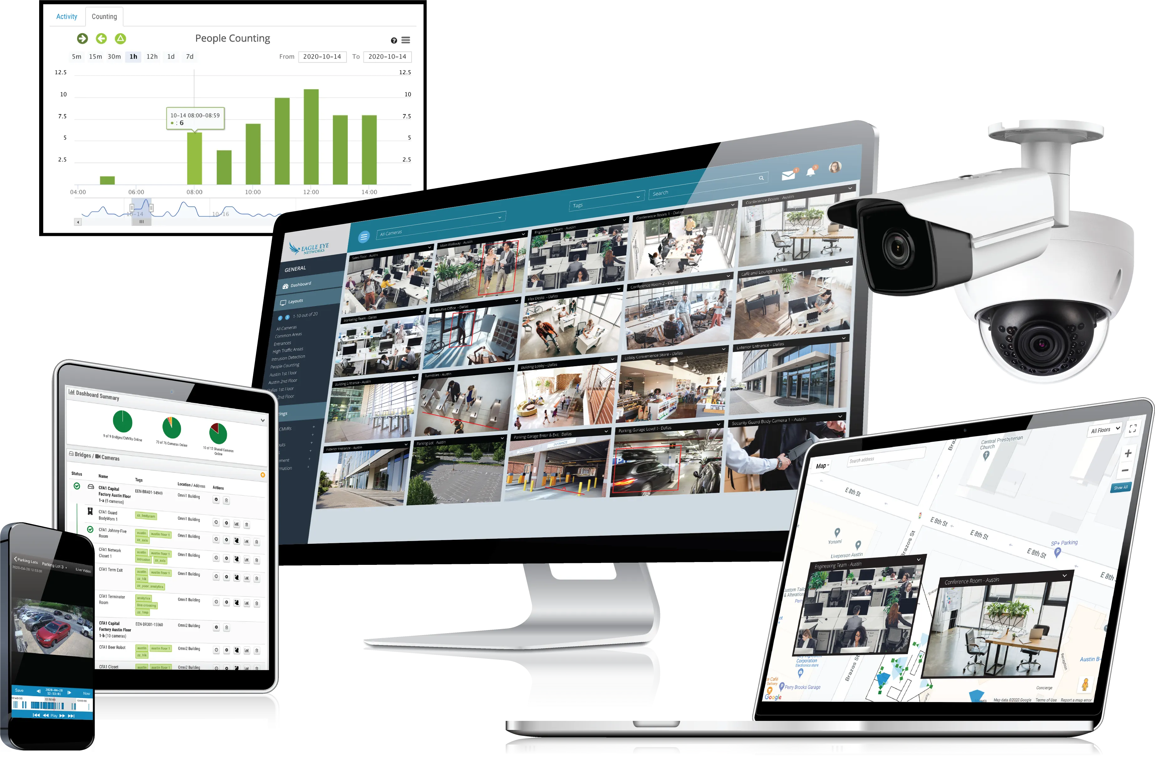
  • Eagle uses AI to detect 'erratic driving'
    November 10, 2020
    Eagle Eye Cloud VMS is expected to help customers save money and boost safety
  • The weighty problem of truck routing enforcement
    March 17, 2015
    The growing impact of heavy commercial vehicles on urban and interurban highway infrastructures around the world is driving the need for reliable route access restriction and monitoring. The support role of enforcement is proving fertile ground for ITS development. Bridges are especially vulnerable – and critical in terms of travel delays. The US state of Oregon’s Department of Transportation (ODOT) operates what it claims is one of the country’s most aggressive truck route restriction enforcement programme