Viva drives NYCDoT road safety data collection pilot

Viva sensors installed at 12 locations in Brooklyn, Bronx, Manhattan and Queens
By Adam Hill April 19, 2023 Read time: 2 mins
The pilot will help NYCDoT understand how people on different modes use the streets (© Leo Bruce Hempell | Dreamstime.com)

Viva sensors are being used in a New York City pilot to improve road safety.

New York City Department of Transportation (NYCDoT) has put Viva (the US name for UK firm VivaCity) sensors on streetlight poles in 12 locations in Brooklyn, Bronx, Manhattan and Queens to see if they are cheaper and more accurate than manual traffic counts.

The technology collects street activity data via camera, then classifies and counts road users in real time.

This will help "to generate detailed reports that will allow planners to better understand the uses of city streets and inform future street redesigns", NYCDoT says.

The Viva sensors identify and count up to nine different modes of travel, including pedestrians, cyclists, cars, buses, trucks and e-scooters.

They can see seasonal changes in travel patterns, show path and speed of travel, and detect near-miss incidents and turning movements.

Viva will provide street activity count data by analysing video footage from temporarily installed cameras or existing live feeds.

The agency will use the data to analyse the effectiveness and safety of its initiatives and street designs, and to prioritise projects for areas most in need of street improvements.

The sensor information will also help NYCDoT to better understand how people use the streets themselves - for instance, accessing bus stops or loading zones, visiting businesses, or preferred places to cycle.

NYCDoT insists: "The pilot prioritises privacy, identifying data-collection methods that protect privacy by removing identifying information of roadway users and discarding video frames after counts are collected on the device."

The project is a partnership between NYCDoT, New York City’s Office of Technology and Innovation and City University of New York.

It was funded primarily by a grant from the New York State Empire State Development Corporation, with support from Federal Raise and Safe Streets For All grants.

For more information on companies in this article

Related Content

  • SRL’s temporary permanent traffic solution
    March 30, 2021
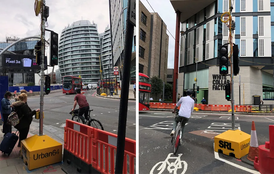
    The lengthy reconfiguration of a London accident hotspot to make it safer risked creating its own safety problems. SRL’s John Cleary tells Adam Hill how his firm has been protecting VRUs
  • Data handling important for autonomous vehicles
    December 8, 2016
    Data handling is becoming an ever-greater part of transportation and never more so than with autonomous vehicles, as Andrew Bardin Williams hears from some big names.
  • StreetLight Data to measure VRU and vehicle transport in one platform
    January 15, 2019
    US data company Streetlight Data is adding bike and pedestrian analytics to its existing StreetLight InSight platform. The move is an industry first, the firm insists, and means the movements of vulnerable road users (VRUs) can be measured along with those of vehicles. The new information will be available with a Multi Mode subscription to the product. “It is critical to develop a granular analysis of bike and pedestrian traffic to better see a complete picture of today’s complex mobility landscape
  • Upgrading New Yorks's traffic signal timings
    February 28, 2013
    The New York City Department of Transportation instituted the Midtown in Motion project to promote multimodal mobility in the Midtown Core of Manhattan, a 110 square block area or “zone” from Second to Sixth Avenue and 42nd to 57th Street. Control extended from 86th Street to 23rd Street, focused on the core zone. MiM provides signal timing changes on two levels: Level 1 control starts from a pre-stored library of timing plans. These are designed offline and are relevant to arterials inside the Midtown stud