TTF wins praise for Covid transport data

Work helped UK DfT to understand impact of 16 million lockdown movements
November 30, 2020 Read time: 1 min
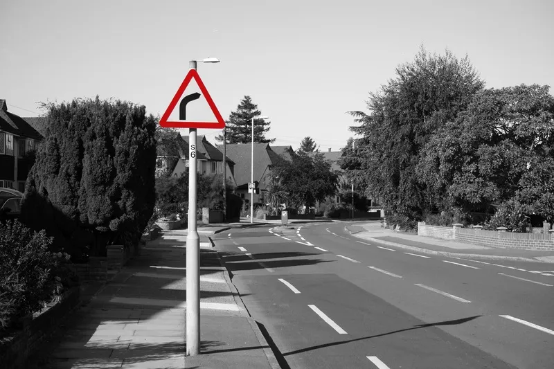
Traffic data was usefully mapped, particularly on local roads (© Anizza | Dreamstime.com)

Transport Technology Forum (TTF) has been highly commended in a civil engineering awards ceremony for its work to assess UK travel patterns under Covid-19 restrictions.

TTF led the collation of transport data from local authorities into information used to understand changes in travel behaviour. 

Along with commercial data suppliers, this enabled the collection, processing and visualisation of more than 16 million travel movements during the lockdown period and beyond.

TTF worked with Arup and White Willow Consulting, supporting the Department for Transport (DfT) in understanding how lockdown had impacted traffic.

DfT is well informed about traffic on the Strategic Road Network through Highways England, but had limited visibility on other roads with much of the data being held locally. 

The work, which was Project of the Year at this year's ITS (UK) Awards, was highly commended recognition in the Covid-19 Response category at the New Civil Engineer British Construction Industry Awards. 

TTF is now able to publish outcomes from this data set for interested parties, "not least those bodies who went above and beyond the call to share their data with us", it says.

Related Content

  • InfoConnect delivers accurate travel information on all levels
    August 1, 2012
    Deryk Whyte provides an overview of how the New Zealand Transport Agency's InfoConnect concept was developed. Historically, the New Zealand Transport Agency (NZTA) (formerly Transit New Zealand) has faced challenges in communicating effectively with road users, its customers, about highway-related events or incidents in a timely, accurate manner. Prior to 2007, Transit relied on a third-party organisation to collect and disseminate national road condition information. This often resulted in incomplete infor
  • Webinar: how to solve traffic data gaps
    July 21, 2022
    On 28 July StreetLight Data will explain how AADT 2021 US Metric helps transport professionals
  • Colorado DoT locates data-rich environment
    January 14, 2020
    Colorado DoT and Esri have been cooperating to unlock data’s potential. Jason Barnes finds out what that has to do with firing a howitzer at snowy mountains – and exactly why things that happened in the past point the way towards future proofing
  • Cost benefit: Wichita eases workzone congestion
    July 8, 2019
    Achieving higher diversion rates has helped one Kansas city to make traffic flow more efficient around workzones. David Crawford examines what’s behind a 10:1 benefit-to-cost ratio in Wichita Around 10% of highway congestion in the US results from delays in workzones, leading to an estimated annual loss of $700 million in fuel costs alone. The lack of accessible real-time traffic information to help motorists minimise their inconvenience – particularly at peak times - is a major contributor. One solut