StreetLight's figures highlight Covid effect

Traffic data provides insights which can be used for planning and BIL investment
By Adam Hill July 15, 2022 Read time: 2 mins
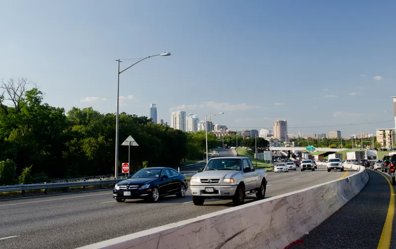
The I-35 corridor in Austin, Texas, has become one of the most congested highways in the state (© Noamfein | Dreamstime.com)

StreetLight Data has released its latest US Annual Average Daily Traffic (AADT) counts for transport planners.

"Validated, comprehensive metrics are essential for planners, consultants and other stakeholders who make important decisions about transportation infrastructure,” said StreetLight CEO Laura Schewel.

The 2021 AADT is based on over 40 billion monthly location records across the country, collected from smartphones, connected cars and trucks.

StreetLight says its algorithms draw on 365 days of data on more than four million miles of roadway and can help in meeting the aims of the Bipartisan Infrastructure Law (BIL) - and in helping agencies with grant applications.

The company measures diverse travel patterns and makes them available on demand via its Software as a Service platform for mobility, StreetLight InSight.

“Traffic volumes are the key input to accurate and detailed transportation greenhouse gas emissions calculations, and having precise measurement is critical in the societal and BIL goal of managing down those emissions," says Schewel.

Providing planning insights is one of the key roles for the figures. For example, the company’s 2021 AADT showed that the I-35 corridor in Austin, Texas, has become one of the most congested highways in the state after a Covid-led relocation boom to the city.

StreetLight studied the I-35 to understand congestion during pre-pandemic days and compared it with trends in 2020 and 2021.

Results showed a high 2019 volume, an expected drop in vehicle trips during the pandemic, with signs of recovery and increasing traffic in 2021. Early trends in 2022 suggest that road traffic will only continue to rise.

The AADT 2021 metrics include updates from the 2020 US Census, enabling traffic studies on almost all road types, including recently-developed roads, providing up-to-date insights.

The company was acquired by Jacobs in February 2022.

Related Content

  • Smart parking technologies: solving drivers parking pain
    March 30, 2017
    Smarter parking can benefit city authorities and other road users as well as drivers looking for a space, argues Dr Graham Cookson. As witnessed by the recent announcements at the Consumer Electronics Show, the automotive industry continues to focus on the driving experience; moving from speed and handling towards safety and efficiency.
  • Colorado DoT locates data-rich environment
    January 14, 2020
    Colorado DoT and Esri have been cooperating to unlock data’s potential. Jason Barnes finds out what that has to do with firing a howitzer at snowy mountains – and exactly why things that happened in the past point the way towards future proofing
  • Bristol’s buses trial CycleEye detection system
    July 7, 2017
    Fusion Processing’s Jim Hutchinson looks at a two-year trial of the company’s cyclist detection system. Is cycling in a city dangerous? Well, that depends where you are and how you view statistics. Malmö is far more bike-friendly than Mumbai and the risk can either be perceived as small - one death per 29 million miles cycled in the UK in 2013 - or large - that equated to 109 deaths in the same year. Whatever your personal take on the data, the effect of these accidents can be felt indirectly too. News of c
  • Cost-effective satellite enabled ATMS solutions
    September 1, 2022
    London-headquartered Valerann has an enormous story of success to share with delegates with momentum gaining pace and now focused on the US. The company has just secured contracts with partners in America, covering 14 states.