StreetLight's figures highlight Covid effect

Traffic data provides insights which can be used for planning and BIL investment
By Adam Hill July 15, 2022 Read time: 2 mins
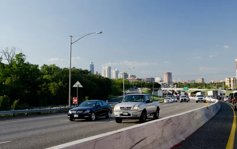
The I-35 corridor in Austin, Texas, has become one of the most congested highways in the state (© Noamfein | Dreamstime.com)

StreetLight Data has released its latest US Annual Average Daily Traffic (AADT) counts for transport planners.

"Validated, comprehensive metrics are essential for planners, consultants and other stakeholders who make important decisions about transportation infrastructure,” said StreetLight CEO Laura Schewel.

The 2021 AADT is based on over 40 billion monthly location records across the country, collected from smartphones, connected cars and trucks.

StreetLight says its algorithms draw on 365 days of data on more than four million miles of roadway and can help in meeting the aims of the Bipartisan Infrastructure Law (BIL) - and in helping agencies with grant applications.

The company measures diverse travel patterns and makes them available on demand via its Software as a Service platform for mobility, StreetLight InSight.

“Traffic volumes are the key input to accurate and detailed transportation greenhouse gas emissions calculations, and having precise measurement is critical in the societal and BIL goal of managing down those emissions," says Schewel.

Providing planning insights is one of the key roles for the figures. For example, the company’s 2021 AADT showed that the I-35 corridor in Austin, Texas, has become one of the most congested highways in the state after a Covid-led relocation boom to the city.

StreetLight studied the I-35 to understand congestion during pre-pandemic days and compared it with trends in 2020 and 2021.

Results showed a high 2019 volume, an expected drop in vehicle trips during the pandemic, with signs of recovery and increasing traffic in 2021. Early trends in 2022 suggest that road traffic will only continue to rise.

The AADT 2021 metrics include updates from the 2020 US Census, enabling traffic studies on almost all road types, including recently-developed roads, providing up-to-date insights.

The company was acquired by Jacobs in February 2022.

Related Content

  • TomTom provides flexibility for Riyadh
    June 1, 2016
    With five years of traffic disruption ahead and an inadequate traffic monitoring system, the authorities in Riyadh needed a solution – and quickly. In preparation for embarking on what is currently the world’s largest metro construction project, the Arriyadh Development Authority (ADA) in Riyadh needed to put in place measures to minimise the additional congestion and travel delays the five-year project would inevitably cause.
  • Crossing the line: managing traffic across jurisdictions
    June 18, 2024
    The US will eventually have a fully-digitised transportation network, with traffic management devices talking to each other across massive distances. It’s really a question of pain points on the road to full deployment, explains Mark Talbot of Q-Free
  • Machine vision takes ITS further than the eye can see
    January 5, 2016
    Vitronic’s John Yalda looks at how machine vision has become an integral part of many ITS deployments and why it complements, rather than replaces, ANPR. New and conventional business concepts like online shopping and mail order business are becoming more established in the cultures of fast-growing economies and increasing the demand for flexibility in the freight transportation and logistics industry. Road transport has become the preferred infrastructure for freight forwarding and several studies predict
  • Safeguarding cities against wrong-way drivers
    June 10, 2024
    Thermal imaging and artificial intelligence analytics provide the best path towards preventing deadly auto accidents, explains Stefaan Pinck of Flir