StreetLight's figures highlight Covid effect

Traffic data provides insights which can be used for planning and BIL investment
By Adam Hill July 15, 2022 Read time: 2 mins
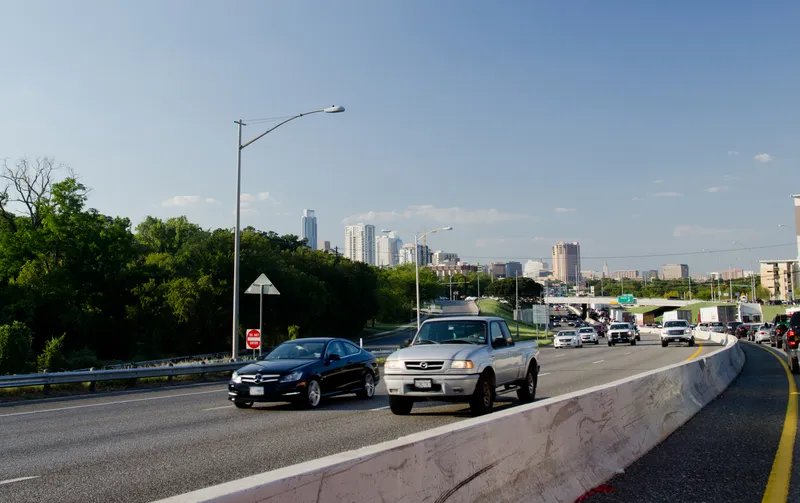
The I-35 corridor in Austin, Texas, has become one of the most congested highways in the state (© Noamfein | Dreamstime.com)

StreetLight Data has released its latest US Annual Average Daily Traffic (AADT) counts for transport planners.

"Validated, comprehensive metrics are essential for planners, consultants and other stakeholders who make important decisions about transportation infrastructure,” said StreetLight CEO Laura Schewel.

The 2021 AADT is based on over 40 billion monthly location records across the country, collected from smartphones, connected cars and trucks.

StreetLight says its algorithms draw on 365 days of data on more than four million miles of roadway and can help in meeting the aims of the Bipartisan Infrastructure Law (BIL) - and in helping agencies with grant applications.

The company measures diverse travel patterns and makes them available on demand via its Software as a Service platform for mobility, StreetLight InSight.

“Traffic volumes are the key input to accurate and detailed transportation greenhouse gas emissions calculations, and having precise measurement is critical in the societal and BIL goal of managing down those emissions," says Schewel.

Providing planning insights is one of the key roles for the figures. For example, the company’s 2021 AADT showed that the I-35 corridor in Austin, Texas, has become one of the most congested highways in the state after a Covid-led relocation boom to the city.

StreetLight studied the I-35 to understand congestion during pre-pandemic days and compared it with trends in 2020 and 2021.

Results showed a high 2019 volume, an expected drop in vehicle trips during the pandemic, with signs of recovery and increasing traffic in 2021. Early trends in 2022 suggest that road traffic will only continue to rise.

The AADT 2021 metrics include updates from the 2020 US Census, enabling traffic studies on almost all road types, including recently-developed roads, providing up-to-date insights.

The company was acquired by Jacobs in February 2022.

Related Content

  • Florida awards $5m deal to Iteris
    March 21, 2022
    Project will help reduce CO2 emissions throughout Tampa, St. Petersburg and Clearwater
  • Aimsun helps use community intelligence to improve mobility
    July 23, 2024
    A paradigm shift from traditional to data-driven community-aware transport solutions has guided development of cooperative transport management strategies in the FRONTIER research project
  • Iteris launches computer vision for smarter crosswalks
    August 12, 2016
    Iteris has added new pedestrian measurement capabilities to its advanced video detection platforms with PedTrax, which it says automates measurement of the count, direction and speed of pedestrians in crosswalks to provide insights on levels of street life. PedTrax provides transportation professionals and officials with data on foot traffic volume, direction and speed to optimise intersection signal timing and inform proactive improvements to signage and striping, intersection design, overpass locations
  • Bronx benefits from mesoscopic-microscopic modelling
    January 7, 2014
    Michael Marsico, Andrew Weeks, Keir Opie and Murat Ayçin explain the application of hybrid traffic simulation to a planning study in New York City. Traffic modelling, particularly mesoscopic-microscopic hybrid simulation, has played a key role in planning for the future of one of America's shortest interstates, the 1.3-mile Sheridan Expressway. New York City has just completed a two-year, interagency study federally funded by a TIGER II grant on how to improve the Sheridan Expressway and its surroundi