StreetLight Data offers dashboard of bike and pedestrian metrics

StreetLight Data has unveiled a tier of its InSight software which it says offers metrics to help transportation planners improve bike, scooter and pedestrian infrastructure.
October 24, 2019 Read time: 1 min

StreeLight Data claims its ‘Bike and Pedestrian Essentials’ will help communities better understand transportation usage, safety and priorities for bike lanes and other infrastructure.

Sean Co, StreetLight’s director of special projects, says San Francisco has 75 bicycle sensors which “only offer a partial perspective on bike traffic” but the company’s virtual sensors “cover nearly every city block”.

He insists that overlaying collision counts with StreetLight’s Activity Index across an entire city allows transportation agencies to pinpoint bicycle collision rates and prioritise where to act first.

“From 2015 to 2018, San Francisco saw over 1,400 bike injuries and fatal collisions,” he continues. “However, as StreetLight’s bike activity overlay reveals, transportation agency safety initiatives can be focused on a subset of roads with the highest exposure (where both bike traffic and collision rates are highest).”

The software tier will also provide metrics to help transportation professionals assess trip volume between and within zones to identify demand as well as travel distance and speed to address first- and last-mile connections, the company adds. 

For more information on companies in this article

Related Content

  • Driver aids make inroads on improving safety
    November 12, 2015
    In-vehicle anti-collision systems continue to evolve and could eliminate some incidents altogether. John Kendall rounds up the current developments. A few weeks ago, I watched a driver reverse a car from a parking bay at right angles to the road, straight into a car driving along the road. The accident happened at walking pace, no-one was hurt and both cars had body panels that regain their shape after a low speed shunt.
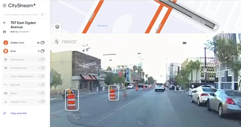
  • Nexar helps cities plan road improvements
    August 24, 2021
    Workzones generally unreported to mapping services, says Nexar
  • USDoT looks at the costs and potential benefits of connected vehicles
    October 26, 2017
    David Crawford looks at latest lessons learned from the trials of connected vehicles in the US. The progress of connected vehicle (CV) technologies takes centre stage among the hot topics highlighted in the September 2017 edition – the first since 2014 – of the ‘ITS Benefits, Costs and Lessons Learned’ survey from the US ITS Joint Program Office (JPO). The organisation is an arm of the US Department of Transportation (USDoT).
  • Machine vision’s transport offerings move on apace
    June 30, 2016
    Colin Sowman considers some of the latest advances in camera technology and transport-related vision technology applications. Vision technology in the transportation sector is moving apace as technical developments on both the hardware and software sides combine to make cameras more multifunctional with a single digital camera now able to cover a multitude of tasks.