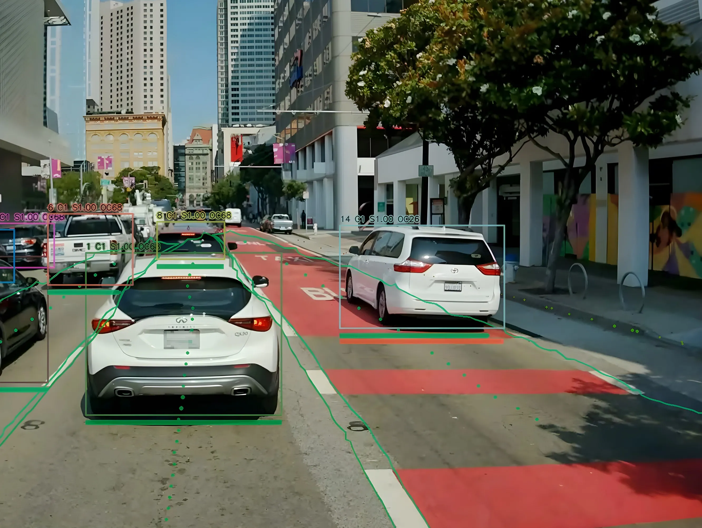
StreetLight Data to measure VRU and vehicle transport in one platform

US data company Streetlight Data is adding bike and pedestrian analytics to its existing StreetLight InSight platform. The move is an industry first, the firm insists, and means the movements of vulnerable road users (VRUs) can be measured along with those of vehicles. The new information will be available with a Multi Mode subscription to the product. “It is critical to develop a granular analysis of bike and pedestrian traffic to better see a complete picture of today’s complex mobility landscape
January 15, 2019 Read time: 2 mins

US data company 8830 Streetlight Data is adding bike and pedestrian analytics to its existing StreetLight InSight platform.

The move is an industry first, the firm insists, and means the movements of vulnerable road users (VRUs) can be measured along with those of vehicles.

The new information will be available with a Multi Mode subscription to the product.

“It is critical to develop a granular analysis of bike and pedestrian traffic to better see a complete picture of today’s complex mobility landscape,” says 8830 StreetLight Data CEO Laura Schewel.

“Our industry has been in the dark for years on bike and pedestrian movement because of the cost and difficulty of data collection. Now we can shed light on these mobility trends, giving planners the ability to make smart decisions about policy and infrastructure investment.”

The proprietary machine learning can differentiate bikes and pedestrians from vehicular traffic, creating a digital dashboard of bicycle and pedestrian activity on roads, bike lanes, pavements and even parks, the firm says.

This would allow planners to see what days and roads have the highest biking volume, at what time of day and for what reason, for example.

Schewel concludes: “My hope is that by being able to measure bikes and pedestrians, we can manage towards a future where these modes of travel are more prevalent.”

Related Content

  • January 25, 2018
    Fara keeps data delivery simple
    Simplifying the delivery of data and information gathered by traffic management, ticketing and other systems can improve travel efficiency and the traveller’s experience. Having quantified and analysed the previously unmonitored movement of road vehicles, trains, metros, cyclists and pedestrians, the ITS sector is a prime example of the digital world. Patterns discerned from those previously random happenings enable authorities to design more efficient transport systems, allow transport operators to run
  • June 17, 2019
    Here’s HD AV map prepared for 5G
    The emergence of 5G may not be necessary to provide a high-definition map for autonomous driving, says Matt Preyss from Here Technologies. Ben Spencer asks why 5G is a hot topic worldwide, with the potential for faster transfer of information eagerly awaited by those convinced that it will be a game-changer for the ITS industry. High-definition (HD) maps are essential to allow autonomous vehicles (AVs) to understand their environment, and operate safely within it in relation to other road users and p
  • June 25, 2018
    US Cities push for smarter poles
    US Cities The need to connect existing infrastructure has led various US transit authorities into imaginative alleyways: David Crawford examines some new roles for street furniture. US cities are vying with each other in developing schemes to create a new generation of connected places. Their strategies include taking advantage of their streetlight poles’ height and ubiquity to give them new roles in supporting intelligent nodes. They are now being equipped for collecting real-time data on key transport
  • August 29, 2024
    Hayden AI & Snapper Services keep their eyes on the road
    Snapper Services CEO Miki Szikszai and Chris Carson, CEO of Hayden AI, tell Adam Hill about synergy and partnership – and how to make use of data once you’ve gathered it