US data company
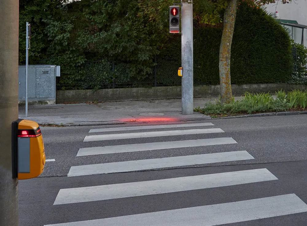
The move is an industry first, the firm insists, and means the movements of vulnerable road users (VRUs) can be measured along with those of vehicles.
The new information will be available with a Multi Mode subscription to the product.
“It is critical to develop a granular analysis of bike and pedestrian traffic to better see a complete picture of today’s complex mobility landscape,” says
“Our industry has been in the dark for years on bike and pedestrian movement because of the cost and difficulty of data collection. Now we can shed light on these mobility trends, giving planners the ability to make smart decisions about policy and infrastructure investment.”
The proprietary machine learning can differentiate bikes and pedestrians from vehicular traffic, creating a digital dashboard of bicycle and pedestrian activity on roads, bike lanes, pavements and even parks, the firm says.
This would allow planners to see what days and roads have the highest biking volume, at what time of day and for what reason, for example.
Schewel concludes: “My hope is that by being able to measure bikes and pedestrians, we can manage towards a future where these modes of travel are more prevalent.”
StreetLight Data to measure VRU and vehicle transport in one platform
US data company Streetlight Data is adding bike and pedestrian analytics to its existing StreetLight InSight platform.
The move is an industry first, the firm insists, and means the movements of vulnerable road users (VRUs) can be measured along with those of vehicles.
The new information will be available with a Multi Mode subscription to the product.
“It is critical to develop a granular analysis of bike and pedestrian traffic to better see a complete picture of today’s complex mobility landscape