Intelematics releases Australian historic traffic flow data

Intelematics has published historic traffic flow data files for more than 2,000 Australian suburbs from 2016-19.
By Ben Spencer March 13, 2020 Read time: 2 mins
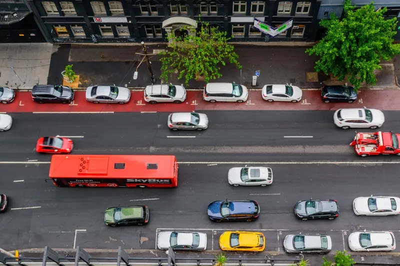
Melbourne streets: Intelematics is going back in time (© Matko Medic | Dreamstime.com)

The company says this will allow traffic management companies and consultants to better understand and plan their projects. 

The use of such data improved afternoon peak hour congestion by 14% on Hoddle Street in Melbourne, the company claims.

John Cardoso, Intelematics’ senior product manager, says it shows traffic flow, speed, speed limits and delays by correlations between suburbs and street names, kilometres per hour, geographic coordinates and time of day.

“The data is available in 15-minute increments. However, if customers need nine-minute, six-minute, or three-minute increments we have that too,” he continues. 

“In addition, each file purchased captures one year’s worth of traffic flow data – many companies only offer three months.”

From April, Intelematics is to roll out traffic data by month consecutively in a move which it says will allow users to access analyse 2020 road and traffic projects without having to wait a full year. 

It will also launch historical traffic volume data files showing vehicle counts in all directions across the road network in 15-minute intervals by month, year and suburb from July 2020.

“The data we capture provides context around traffic trends, accident blackspots, the most congested areas, the most dangerous roads and more,” Cardoso adds. 

The files are available on the Intelematics website.

Related Content

  • October 28, 2016
    New system expedites border crossings
    Enforcing border controls can create long queues for travellers, David Crawford looks at potential solutions. Long delays at border crossings in both North America and Europe have sparked the development of new queue visualisation and management technologies that are cutting hours, even days, off international passenger and freight journeys. At the westernmost end of the 2,019km (1,250 mile) Mexico–US frontier, two parallel crossings between Tijuana, in the former country, and the border city of San Diego,
  • July 10, 2023
    Teledyne Flir brings Middle East into vision
    As urban sprawl creeps across the Middle East and Africa, congested roads aren’t far behind. Hesham Enan of Teledyne Flir explains to Adam Hill how traffic technology is helping authorities to cope
  • March 11, 2015
    Data exploits parking potential
    David Crawford parallel parks with innovations in two continents. Surveys of US cities indicate that drivers searching for parking can account for up to 37% of all urban traffic congestion. A 2011 study by IBM of 20 cities around the world found that nearly six out of ten drivers had abandoned their search for a parking space at least once; while motorists generally spent on average 20 minutes looking for a sought-after spot.
  • May 2, 2017
    City of Seattle implements SCOOT adaptive traffic management
    Seattle Department of Transportation (SDOT) has implemented a new adaptive traffic control system at 32 intersections along Mercer Street between 3rd Ave W and I-5, which has been one of the city’s most congested corridors for over 40 years. Developed by the UK’s Transport Research Laboratory, the SCOOT (Split Cycle Offset Optimisation Technique) system coordinates the operation of the traffic signals in and around the corridor to help vehicles move more efficiently. SCOOT works in real-time to reduce delay